Guest, Sign inJoin

Post to Yosemite Valley

We’ll email a one-tap link to publish your post. No password, and nothing is public until you click it.
Already a member? Sign in
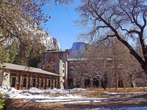
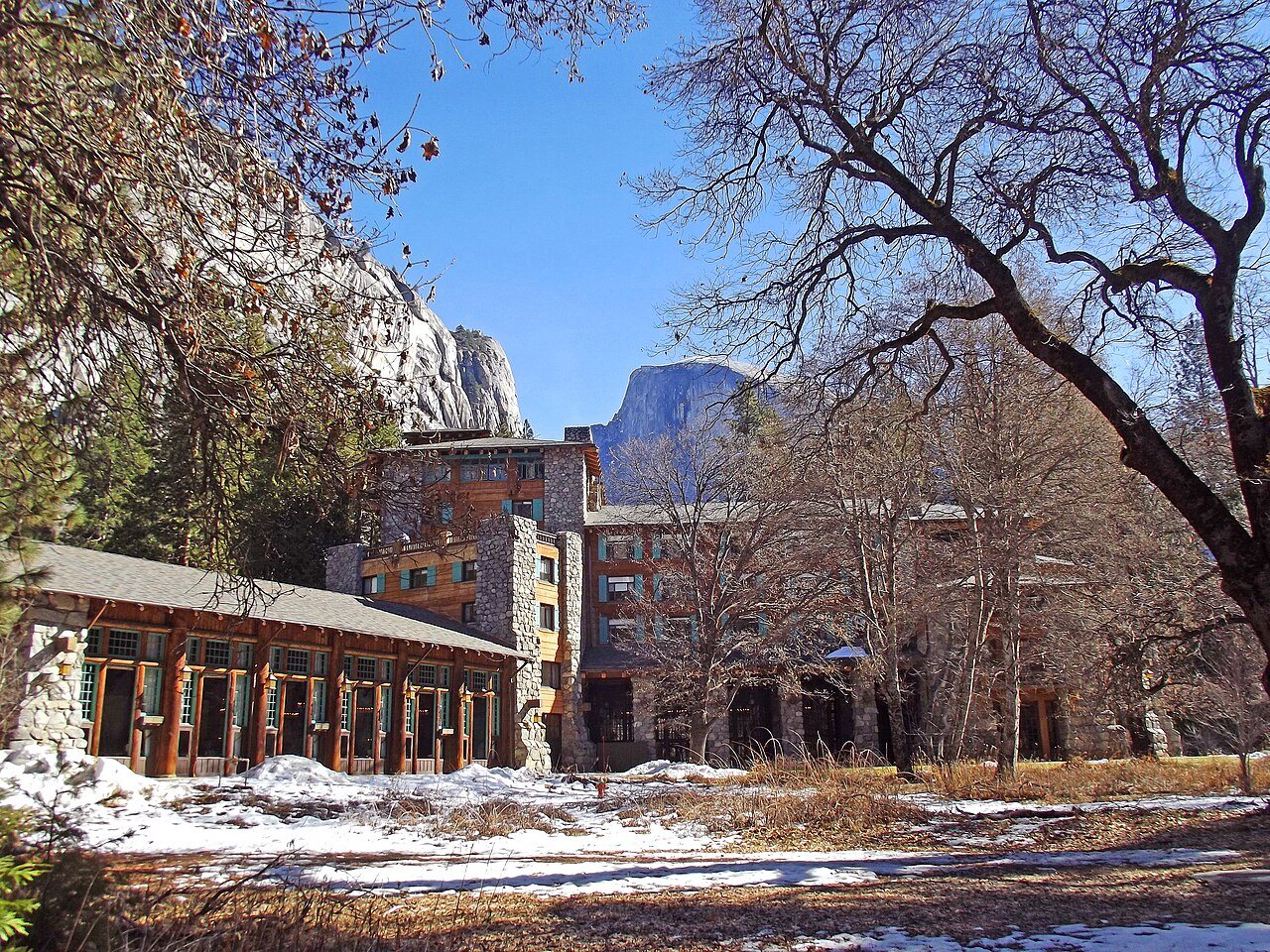
Ahwahnee Hotel and Half Dome
California›Mariposa County

Yosemite ValleyCA

A town of 1,991.

Photo: Mark James Miller · CC BY-SA 3.0
Photo of Yosemite Valley

Yosemite Valley, CA · Photo: Mark James Miller · CC BY-SA 3.0 · Source ↗

Is Yosemite Valley a good place to live?

Yosemite Valley’s best subject grade is an A+ for the outdoors; its weakest is a D− for hazard risk. 99% of the land in Yosemite Valley is conserved, above both California’s towns (4.3%) and U.S. towns (4.3%). No town in California scores higher than Yosemite Valley on the outdoors. Yosemite Valley has 7 places on the National Register of Historic Places, among them Ahwahnee Hotel and LeConte Memorial Lodge. Yosemite Valley has fewer than 2,500 residents, so it gets subject grades but no overall grade.

What makes Yosemite Valley stand out

Where Yosemite Valley beats most towns, and one thing worth knowing.

A shrinking town

Yosemite Valley has shrunk 67% from 2010 to 2020

1,035 counted in 2010 and 337 in 2020.

1,0352010
3372020

U.S. Census 2010 & 2020 counts

How Yosemite Valley grades

Each subject compared with towns across the country (schools within California), ordered by how far Yosemite Valley is from typical.

How grading works

Character Graded, but not part of the overall grade.
Described, not graded Taste, not quality: snow or an older crowd is neither good nor bad.

How TownRatings grades towns →

Ahwahnee Hotel
Ahwahnee Hotel · National Register of Historic Places
Yosemite Valley’s story

Yosemite Valley in pictures

The archive holds 1 old photo or paper going back to 1927.

7 places on the National Register of Historic Places.

Explore the history →
Nearby attractions

Yosemite National Park and 25 more within 40 miles

Museums, parks, gardens and other places to visit around Yosemite Valley. Close and well known come first.

All 35 attractions →
Sources: National Park Service · ski areas © OpenSkiMap / OpenStreetMap contributors · Wikidata · Wikipedia readership · photos via Wikimedia Commons
Photo credits

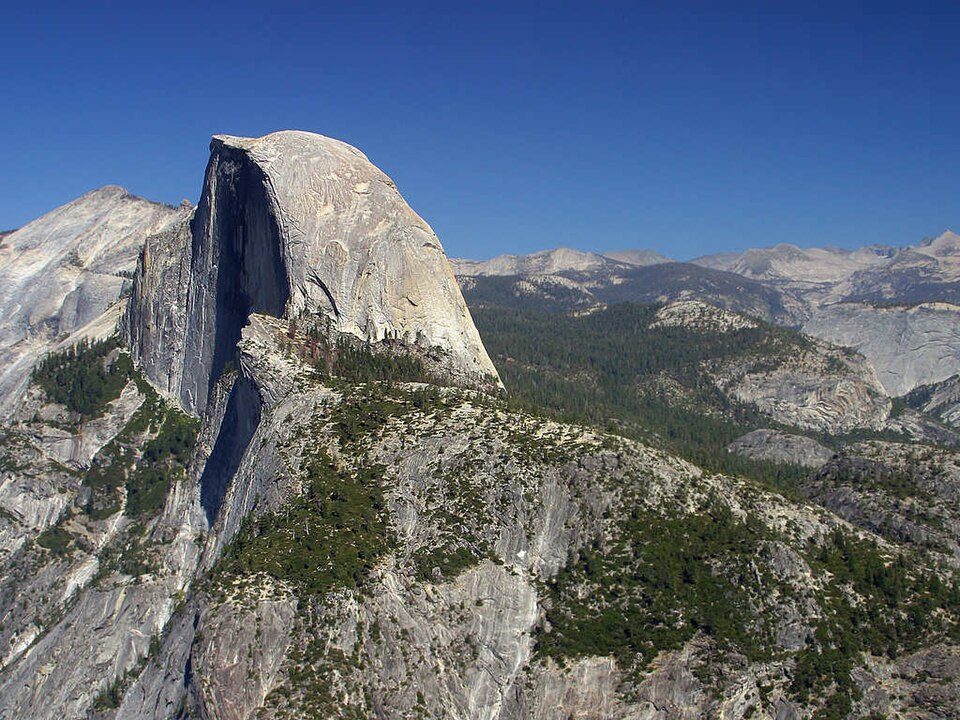
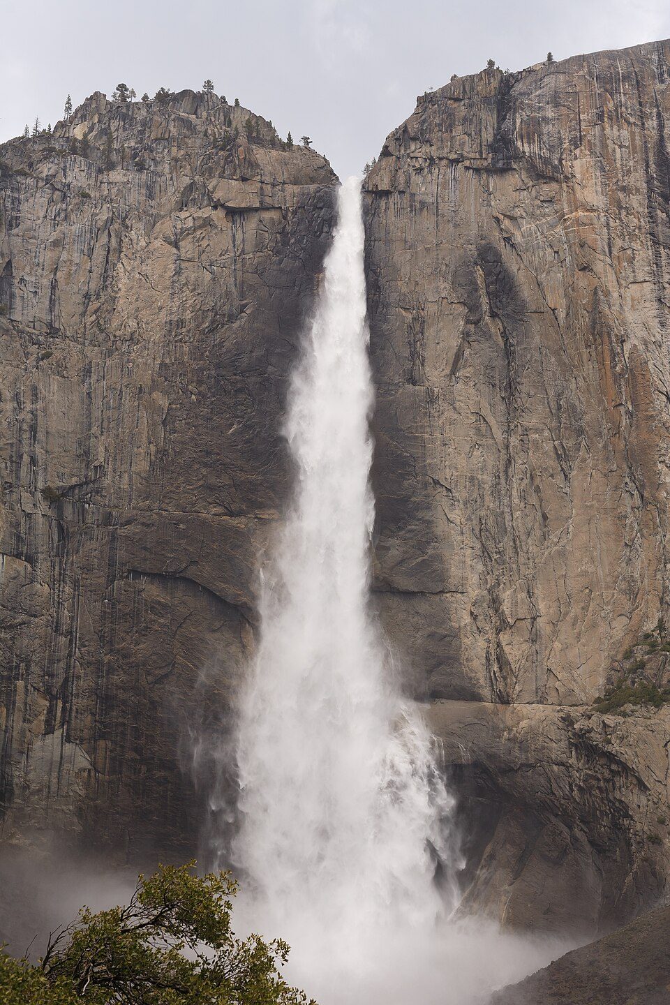
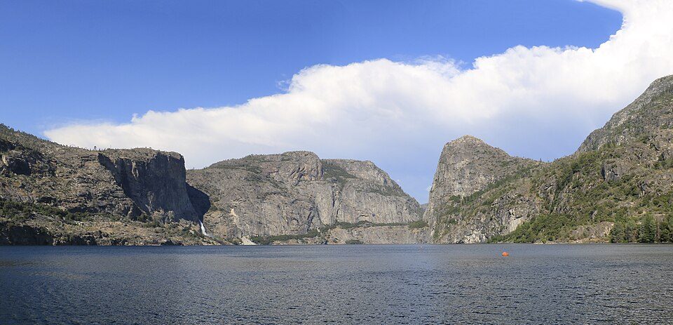
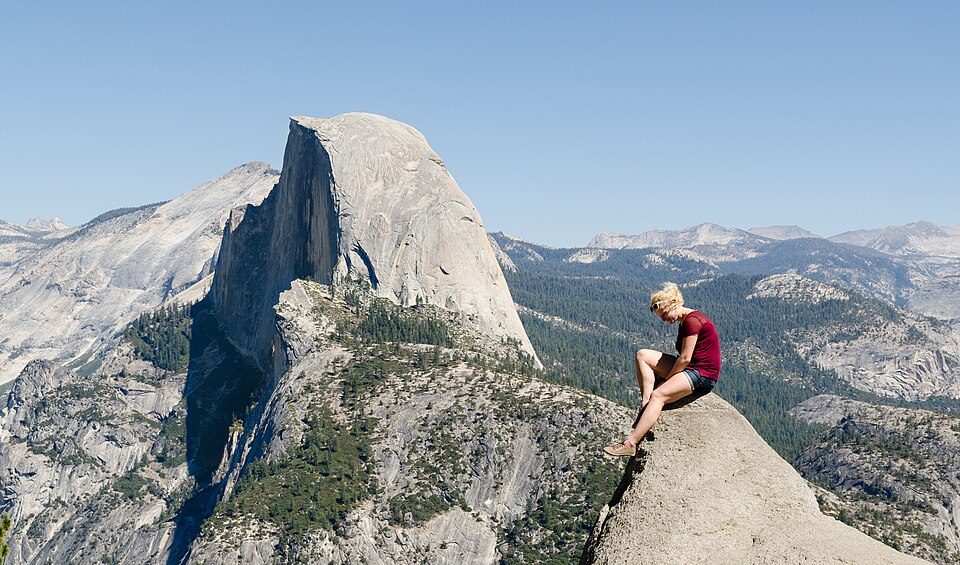
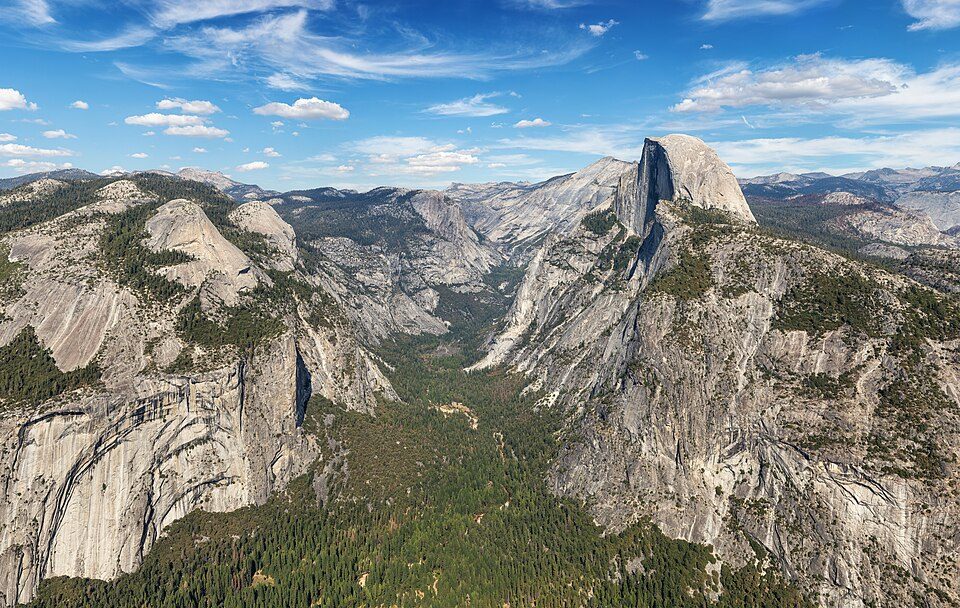
Yosemite National Park: Thomas Wolf, www.foto-tw.de, CC BY-SA 3.0 · Half Dome: Jon Sullivan, Public domain · Yosemite Falls: King of Hearts, CC BY-SA 4.0 · Mono Lake: File:Mono lake sat.jpg: created by NASA Rotation and crop: Hike395, Public domain · Hetch Hetchy: Vulpinus2, CC BY-SA 4.0 · Glacier Point: Tuxyso, CC BY-SA 3.0

Getting set up

Moving to Yosemite Valley: who provides what

Yosemite Valley is unincorporated, so Mariposa County and regional agencies provide most services.

PowerPG&E37.5¢/kWh · EIA 2025HIFLD · EIA
WaterYosemite Nps-Yosemite Valley water systemNo health-based violations in 5 years · EPAEPA
InternetProviders and speedsData pending · D4
Trash & county servicesMariposa CountyMariposa County provides services here
SchoolsMariposa County Unified School DistrictWhich school depends on your addressNCES
Register to voteOnlineIn California you can register online until 15 days before Election Day, in person up to and including Election Day, or by mail (postmarked 15 days before).vote.gov
Who runs elections hereMariposa County Elections DepartmentMariposa County; contacts on the Handbook page.FVAP, Jul 2025
ZIP code9538995389 100%Census 2020

EPA SDWIS (Oct 9, 2026) · HIFLD + EIA-861 2025 · Census 2020 ZCTAs · NCES 2024–25 · registration: vote.gov, updated Nov 18, 2024.

The data

Ordered by what stands out in Yosemite Valley.

OutdoorsA+

In Yosemite Valley, trail density runs higher than in the typical California or U.S. town

The biggest place to walk is Yosemite National Park, 1,350 acres with 13.2 miles of trail. Trails run 14 miles in 2 parks and preserves. Parks and preserves in Yosemite Valley: 2, covering 1,488 acres.

99.3%conserved
99.3%
conserved · 1,340 of 1,350 acres
14 mi
of trails · 6.6 per sq mi
Biggest places to walkTrailsAcres
1. Yosemite National Park13.2 mi1,350
2. Yosemite Wilderness0.6 mi138

Trails & parks © OpenStreetMap contributors · Conserved land: USGS PAD-US

55%of CA districts it outscoresBSchool Grade
SchoolLevelStudentsLetter
Yosemite National Park Valley ElementaryLargest public elementary schoolGrades K–8Grades K–825A+

NCES · EDFacts · graded within CA on state tests and graduation

Who lives here

Young adults are more common in Yosemite Valley than in California

Just over a third of adults 25 and older hold a bachelor’s degree or more in Yosemite Valley, against 29% in California’s towns and 29% across U.S. towns. Adults 18 to 34 are 52% of residents (24% statewide); children under 18 are 2% of residents (22% statewide).

33.8median age · CA 37.9
Yosemite ValleyCalifornia townsU.S. towns
Median age33.8 years39 years40.5 years
Bachelor’s degree or more, 25+34%29%29%
Yosemite ValleyCaliforniaUnited States

Ages · share of residents

Education · adults 25 and older

No diploma9%
High school20%
Some college28%
Associate’s9%
Bachelor’s29%
Graduate6%

Women and men · all residents

Somewhere between 20% and 44% women

The Census survey reached too few of Yosemite Valley’s residents to say more: its margin here is ±11.9 points. Across California, 50.1% of residents are women.

Ages and education in Yosemite Valley
Yosemite ValleyCAU.S.
Under 101.3%11.4%11.6%
10 to 170.7%10.5%10.3%
18 to 2418.8%9.1%9.1%
25 to 3433.1%14.8%13.7%
35 to 4417%13.9%13.2%
45 to 5412.2%12.5%12.2%
55 to 6410.4%12.1%12.7%
65 to 742.9%9.2%10.2%
75 and older3.6%6.5%7%
No diploma8.5%15.3%10.4%
High school20%20.5%26%
Some college28.1%19.3%19.1%
Associate’s9.1%7.9%8.8%
Bachelor’s28.6%22.7%21.6%
Graduate5.8%14.4%14.1%

U.S. Census Bureau · ACS 2020-2024 5-year estimates · in a town of 2,000, single groups can be off by several points

Work & commuteJobs & income grade D

Yosemite Valley has 4.0 jobs for every working resident, and 1,016 people commute in

For most workers, Yosemite Valley is a place to come home to: only 18% work in town. Yosemite Valley’s mean commuting time comes in at 23 minutes. Jobs based in Yosemite Valley grew to 1,063 in 2023, 148 more than in 2013. Also worth knowing: 21% of Yosemite Valley residents live below the poverty line.

18%work in town
Yosemite ValleyCalifornia townsU.S. towns
Below the poverty line21%10%9.6%
Working residents who work in town18%6.6%8%
Average trip to work23 minutes28 minutes25 minutes

Where working residents work

In Yosemite Valley18%
Fresno7%
San Francisco4%
San Jose3%
Stockton3%
101 mi
median commute distance
1,063
jobs based in Yosemite Valley
A job hub
jobs vs. working residents
B
Walkability grade: more walkable than 58% of U.S. towns

Census LEHD 2023 · ACS

Natural hazardsHazard risk grade D−

The biggest natural risk in Yosemite Valley is inland flooding, at a very high overall level

FEMA expects more storm and flood damage in Yosemite Valley than in 99% of U.S. communities. Nearly three fifths of the town’s expected losses from natural hazards come from inland flooding, followed by wildfires at 27%.

99risk score of 100
FEMA risk score
99Very high riskLowerHigher
Inland floodingWildfireHeat waves

FEMA National Risk Index · OpenFEMA

Climate

Yosemite Valley: four seasons and pleasant summers

July afternoons reach 83° and January nights drop to 24°.

83°summer high

Typical low → high °F

Winter24–47°
Spring32–58°
Summer48–80°
Fall36–66°
Oct 10
typical first frost
May 24
typical last frost
+1.1°
vs. the 20th-century average
83°
typical summer high

NOAA U.S. Climate Normals, 1991–2020

HealthB

On CDC estimates, Yosemite Valley is healthier than 58% of U.S. towns

For adults in Yosemite Valley, the share who sleep under 7 hours is 34%. On the CDC’s 32 measures, Yosemite Valley is ahead of California on 3 and behind on 6. Among adults locally, 21% report frequent mental distress and 20% binge drink.

58%healthier than U.S. townsBHealth Grade
Yosemite ValleyCalifornia townsU.S. towns
Yearly checkup (CDC PLACES)68%72%79%
Frequent mental distress (CDC PLACES)21%17%17%
Binge drink (CDC PLACES)20%16%16%
Depression (CDC PLACES)27%22%23%
32 measures vs. California
3 better23 too close to call6 worse
What stands outYosemite ValleyCA
Fewer uninsured adults7.5%10.6%
Fewer adults with diabetes8.7%11.7%
More smokers15%10.9%
John C Fremont Healthcare District
27.5 mi away · emergency room
1 of 3
care shortages: mental health

CDC PLACES 2025 · modeled estimates for adults · CMS · HRSA

Keep exploring

Everything we know about Yosemite Valley

16pages on Yosemite Valley
After high school

Colleges nearby

None within 15 miles of Yosemite Valley; the nearest are

A job hub

Every workday, about 1,016 people come to Yosemite Valley for work

Where Yosemite Valley’s working residents go each day. Line width shows the share.

7% → Fresno Fresno 7% 4% → San Francisco San Francisco 4% 3% → San Jose San Jose 3% 3% → Stockton Stockton 3% 2% → Sacramento Sacramento 2% 2% → El Portal El Portal 2% Yosemite Valley · 18% stay
1,063jobs based in Yosemite Valley
18%of working residents work in town
101 mimedian commute distance

Census LEHD 2023

Landmarks

7 places in Yosemite Valley on the National Register of Historic Places.

All landmarks →

About Yosemite Valley

Census-designated place in California, United States

Yosemite Valley (Yosemite, Miwok for "killer") is a census-designated place (CDP) in Mariposa County, California, United States. It consists of Yosemite Village, the main developed area, together with adjacent areas of the Yosemite Valley within Yosemite National Park. The population was 337 at the 2020 census. Situated along the north side of the valley floor, its permanent population includes staff of the National Park Service, which administers the park, and some concession workers associated with various contracts in the park. The village has some public facilities, such as a fire station, a post office (ZIP Code 95389), a medical clinic, a convenience store, restaurants, gift shops, an…

From Wikipedia, licensed CC BY-SA 4.0 · facts via Wikidata (CC0)

Area
2.1 sq mi
Area code
209