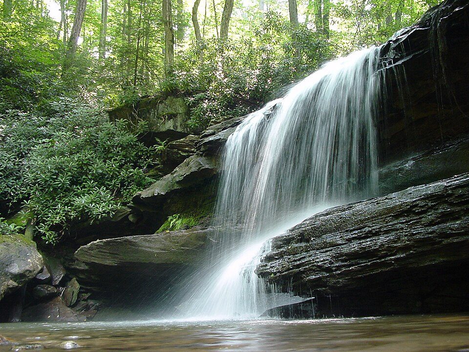
Ohiopyle State Park
Ohiopyle State Park is a Pennsylvania state park situated on 20,500 acres (8,300 ha) between Chestnut Ridge and Laurel Hill in Dunbar, Henry Clay, and Stewart Townships, Fayette County, Pennsylvania, in the United States. Locally, it belongs to Stewart Township. It was established in 1965.

A state park inside Stewart Township
Winters are cold
January nights drop to 20°, with about 61" of snow a year. When to go ↓
Ohiopyle is the nearest base
Ohiopyle is 4 miles northwest, with 6 places to stay. Where to stay ↓
Best months: May, Jun, Jul, Aug, Sep and Oct
May, June, July, August, September and October are the mild months, with highs of 64–82°. When to go ↓
Established in 1965
Ohiopyle State Park dates from 1965. About ↓
Written from NOAA 1991–2020 normals, Overture places to stay, Census town figures, Wikidata and Wikipedia.
When to go
A visit to Ohiopyle can follow the seasons below.
Ohiopyle State Park
Ohiopyle State Park is a Pennsylvania state park situated on 20,500 acres (8,300 ha) between Chestnut Ridge and Laurel Hill in Dunbar, Henry Clay, and Stewart Townships, Fayette County, Pennsylvania, in the United States. The focal point of the park is the more than 14 miles (23 km) of the Youghiogheny River gorge that passes through the park. The river provides whitewater boating, recreational fishing, and kayaking. Ohiopyle State Park is bisected by Pennsylvania Route 381 south of the Pennsylvania Turnpike. The park opened to the public in 1965 but was not officially dedicated until 1971.
Ohiopyle State Park was chosen by the Pennsylvania Department of Conservation and Natural Resources (DCNR) and its Bureau of Parks as one of "25 Must-See Pennsylvania State Parks".
- Type
- State park
- Established
- 1965
- Area
- 30 square miles
- Wikipedia readers
- 6.6K a year
Where to base yourself for Ohiopyle State Park
Rooms are nearest in Stewart Township (4) and Wharton Township (14).
Compare 8 towns
| Town | From Ohiopyle | Drive | Places to stay | People | Typical home |
|---|---|---|---|---|---|
| Stewart Township | in town | — | 4 1 inn or B&B · 1 lodge or cabins · 2 campgrounds | 610 | $181K |
| Wharton Township | 10 mi southwest | 15 min | 14 9 hotels · 2 lodges & cabins · 3 campgrounds | 3,309 | $225K |
| Confluence | 5 mi southeast | 5 min | 7 1 hotel · 5 inns & B&Bs · 1 lodge or cabins | 705 | $155K |
| Ohiopyle | 4 mi northwest | 5 min | 6 2 hotels · 2 motels · 2 lodges & cabins | 36 | — |
| Henry Clay Township 24% vacation homes | 5 mi south | 5 min | 5 1 hotel · 1 motel · 1 lodge or cabins · 2 campgrounds | 1,681 | $175K |
| Middlecreek Township 75% vacation homes | 12 mi northeast | 20 min | 10 3 hotels · 1 inn or B&B · 2 lodges & cabins · 4 campgrounds | 801 | $205K |
| Springfield Township | 10 mi north | 15 min | 6 1 hotel · 1 lodge or cabins · 4 campgrounds | 2,634 | $131K |
| Donegal Township | 19 mi north | 30 min | 17 6 hotels · 2 inns & B&Bs · 4 lodges & cabins · 4 campgrounds · 1 RV park | 2,187 | $183K |
Getting there
Nearest airports with airline service
Around Ohiopyle
Every place here is under 52 miles away.
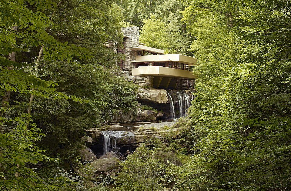 Big draw15 mi MuseumFallingwater
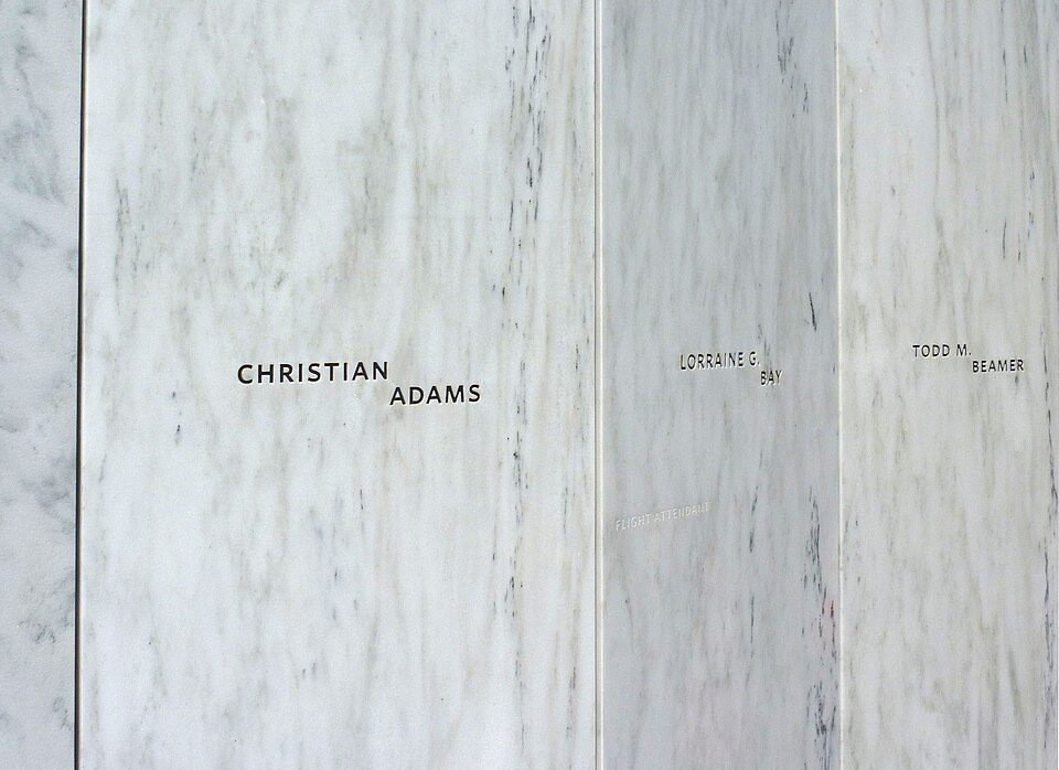 Big draw32 mi National MemorialFlight 93 National Memorial286K visitors a year
 Big draw52 mi Stadium & arenaAcrisure Stadium
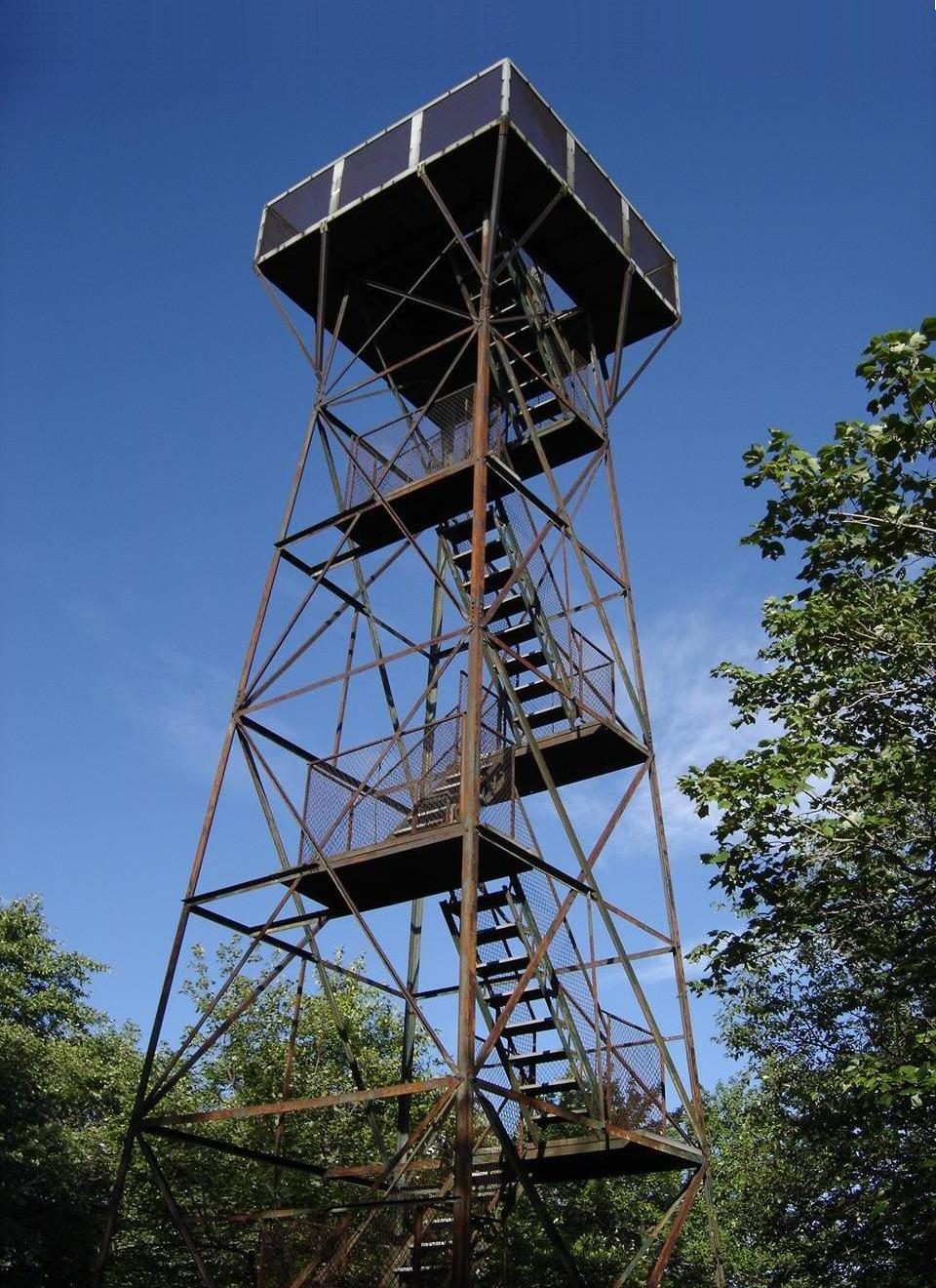 214 mi MountainMount Davis
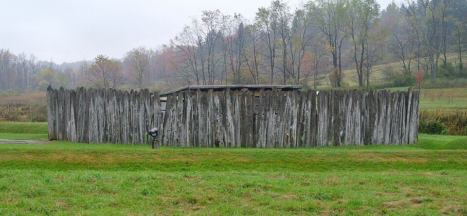 38 mi National BattlefieldFort Necessity National Battlefield226K visitors a year
 44 mi Theme parkKennywood
 51 mi LandmarkFort Duquesne
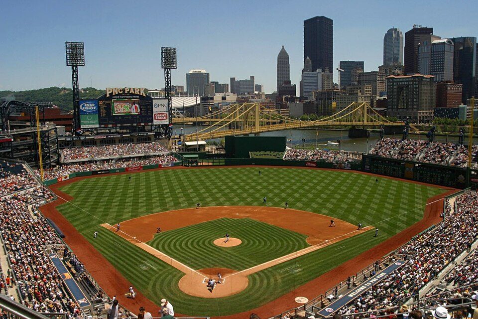 52 mi Stadium & arenaPNC Park
Photo credits
Fallingwater: Carol M. Highsmith, Public domain · Flight 93 National Memorial: James Steakley, CC BY-SA 3.0 · Acrisure Stadium: Fo2grfr, CC BY-SA 4.0 · Mount Davis: Wikiuser100, CC BY-SA 3.0 · Fort Necessity National Battlefield: Wilson44691, CC0 · Kennywood: Ski2007 of English Wikipedia, Public domain · Fort Duquesne: Sébastien Paquin, CC BY-SA 3.0 · PNC Park: alpineinc, CC BY 2.0


Know before you visit Ohiopyle
Is Ohiopyle State Park in Stewart Township?
Yes. It’s inside Stewart Township, PA.
When is the best time to visit Ohiopyle State Park?
May, June, July, August, September and October, with highs of 64–82°.
How far is Ohiopyle State Park from Pittsburgh?
About 50 miles northwest of Pittsburgh, as the crow flies.
What is the closest airport to Ohiopyle State Park?
Morgantown Municipal Airport Walter L. (Bill) Hart Field (MGW), about 29 miles away. The nearest big hub is Pittsburgh (PIT), about 62 miles.
Where should I stay near Ohiopyle State Park?
Wharton Township (10 mi, 14 places to stay), Confluence (5 mi, 7 places to stay) and Ohiopyle (4 mi, 6 places to stay).
Questions for Stewart Township
People in Stewart Township have not posted tips yet; their Town Square is open.
Sources: National Park Service · ski areas © OpenSkiMap / OpenStreetMap contributors · Wikidata · Wikipedia readership · NOAA climate normals · U.S. Census.