
Henry Clay Township tavern, 2015
Henry Clay Township’s story
202 years in pictures
The archive holds 2 old photos and papers going back to 2015 and 5 maps from 1922 on.
- 1824Henry Clay Township is settled
Each edition grades its towns against each other only.

Henry Clay Township’s best subject grade is an A− for cost of living; its weakest is a C− for incomes. Henry Clay Township’s peak summer temperature is 80°F, against 85°F in Pennsylvania’s towns and 85°F across U.S. towns. 15% of the land in Henry Clay Township is conserved, above both Pennsylvania’s towns (8.2%) and U.S. towns (4.3%). The biggest place to walk is Ohiopyle State Park, 4,437 acres with 9.8 miles of trail. Henry Clay Township has fewer than 2,500 residents, so it gets subject grades but no overall grade.
Where Henry Clay Township beats most towns.
2,066 counted in 2010 and 1,761 in 2020; an estimated 1,681 in 2025.
U.S. Census 2010 & 2020 counts · Census Bureau estimate, July 1, 2025
Each subject compared with towns across the country (schools within Pennsylvania), ordered by how far Henry Clay Township is from typical.
How TownRatings grades towns →
The archive holds 2 old photos and papers going back to 2015 and 5 maps from 1922 on.
Museums, parks, gardens and other places to visit around Henry Clay Township. Close and well known come first.
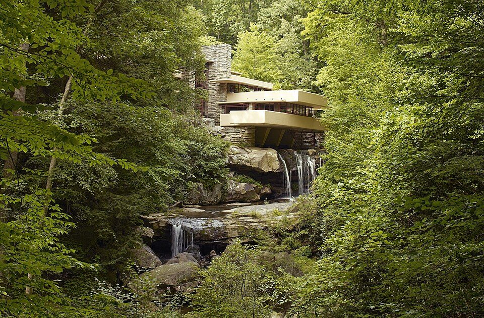 Big draw9 mi MuseumFallingwater
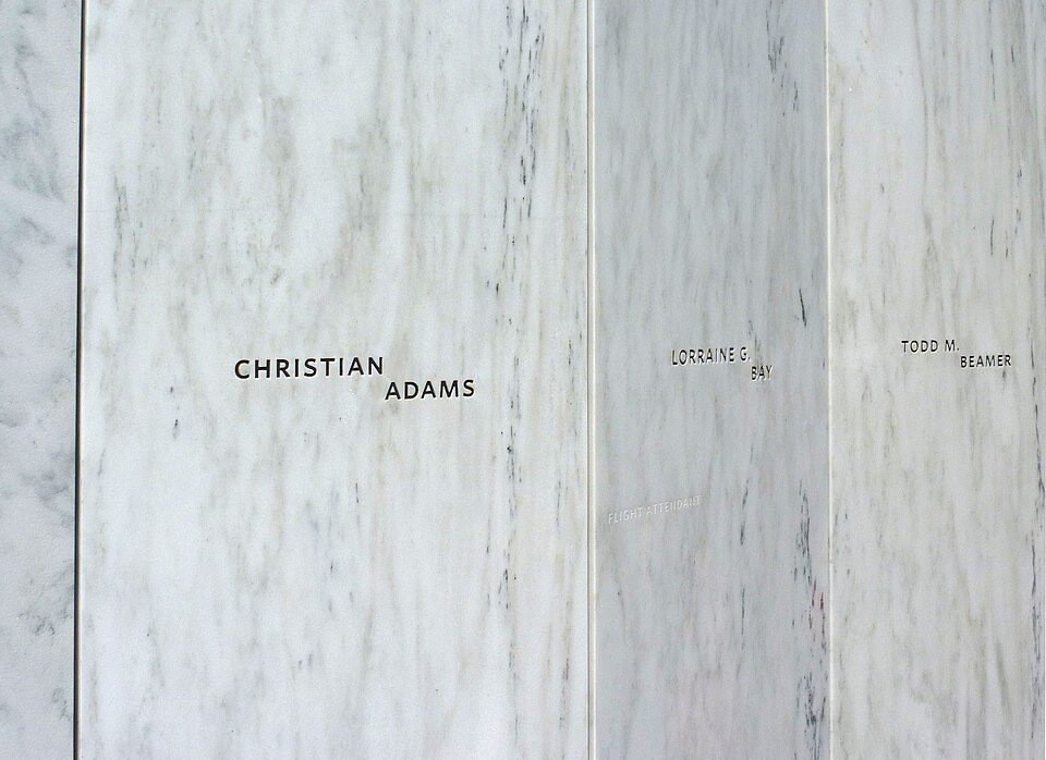 Big draw34 mi National MemorialFlight 93 National Memorial286K visitors a year
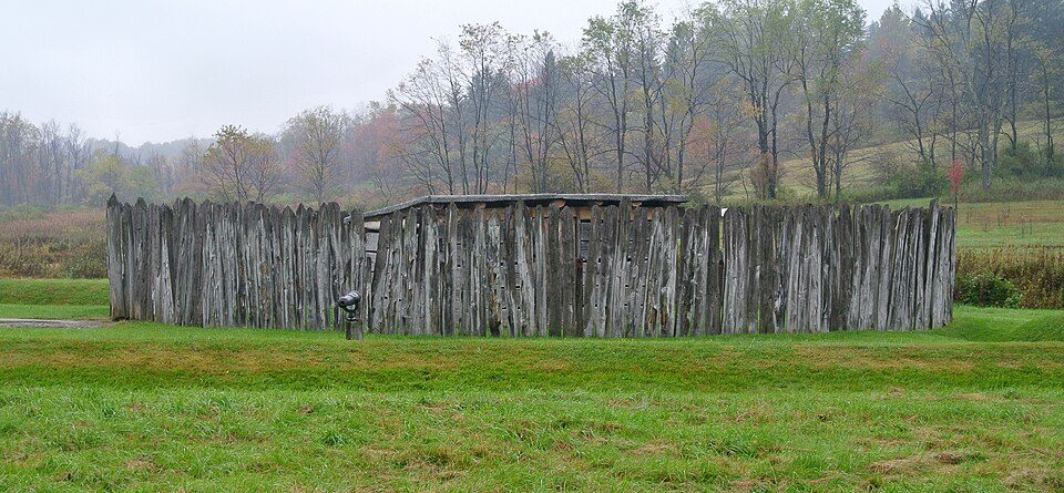 7 mi National BattlefieldFort Necessity National Battlefield226K visitors a year
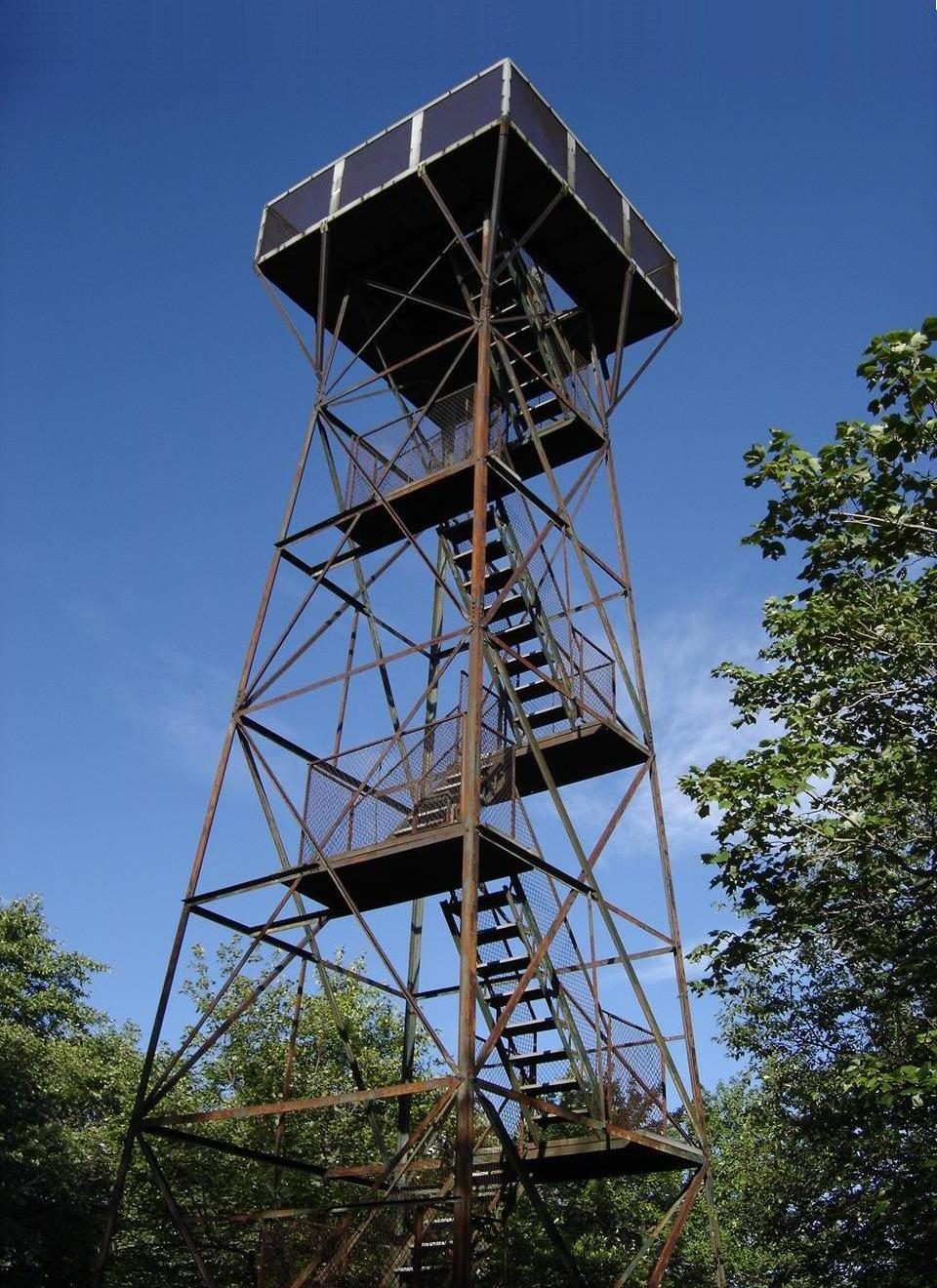 14 mi MountainMount Davis
 28 mi Stadium & arenaMountaineer Field at Milan Puskar Stadium
 18 mi LakeDeep Creek Lake
Fallingwater: Carol M. Highsmith, Public domain · Flight 93 National Memorial: James Steakley, CC BY-SA 3.0 · Fort Necessity National Battlefield: Wilson44691, CC0 · Mount Davis: Wikiuser100, CC BY-SA 3.0 · Mountaineer Field at Milan Puskar Stadium: Quintin Soloviev, CC BY 4.0 · Deep Creek Lake: Gohens84, CC BY-SA 3.0
Who provides power, water and the rest in Henry Clay Township, and how to reach them.
EPA SDWIS (Oct 9, 2026) · HIFLD + EIA-861 2025 · Census 2020 ZCTAs · NCES 2024–25 · registration: vote.gov, updated Nov 18, 2024.
Ordered by what stands out in Henry Clay Township.
One of its 2 schools is below, with the reason it’s listed. Its public schools are run by Uniontown Area SD. 2 public schools serve Henry Clay Township, with 248 students in all.
| School | Level | Students | Letter |
|---|---|---|---|
| A J McMullen SchLargest public middle schoolGrades 6–8 | Grades 6–8 | 164 | C |
NCES · EDFacts · graded within PA on state tests and graduation
Half commute less than 20 miles. Jobs based in Henry Clay Township grew to 478 in 2023, 114 more than in 2013. The share of residents in Henry Clay Township who live below the poverty line: 14%. The top destinations are Wharton Township (11%), Morgantown (5%) and Stewart Township (5%).
| Henry Clay Township | Pennsylvania towns | U.S. towns | |
|---|---|---|---|
| Below the poverty line | 14% | 7.6% | 9.6% |
| Average trip to work | 28 minutes | 26 minutes | 25 minutes |
| Working residents who work in town | 12% | 6.3% | 8% |
Census LEHD 2023 · ACS
Expected damage from storms and floods is lower here than in nearly three quarters of U.S. communities. FEMA puts 86% of Henry Clay Township’s expected hazard losses down to inland flooding, and 5% to tornadoes. Flood insurance has paid one claim in the town since 1979.
FEMA National Risk Index · OpenFEMA
July afternoons reach 80°, January nights drop to 19° and about 61 inches of snow falls in a winter.
NOAA U.S. Climate Normals, 1991–2020
There are 18 miles of trail across 2 parks and preserves. Henry Clay Township’s trail density comes in at 0.3 miles per square mile.
| Biggest places to walk | Trails | Acres |
|---|---|---|
| 1. Ohiopyle State Park | 9.8 mi | 4,437 |
| 2. State Game Lands Number 265 | — | 518 |
Trails & parks © OpenStreetMap contributors · Conserved land: USGS PAD-US
22% of adults say their health is fair or poor in Henry Clay Township. This Pennsylvania town does better than the Pennsylvania average on 1 of 26 CDC measures and worse on 10. Two figures for adults in the town: 39% have high blood pressure, 16% report frequent physical distress.
| Henry Clay Township | Pennsylvania towns | U.S. towns | |
|---|---|---|---|
| Smoke cigarettes (CDC PLACES) | 19% | 17% | 14% |
| High blood pressure (CDC PLACES) | 39% | 34% | 35% |
| Frequent physical distress (CDC PLACES) | 16% | 14% | 14% |
| Diabetes (CDC PLACES) | 14% | 11% | 12% |
| What stands out | Henry Clay Township | PA |
|---|---|---|
| More adults treating high blood pressure | 82.9% | 79.2% |
| More adults with COPD | 10.4% | 7.7% |
CDC PLACES 2025 · modeled estimates for adults · CMS · HRSA
None within 15 miles of Henry Clay Township; the nearest are
About 3 of every 100 Henry Clay Township residents are enrolled in college, against 6 across Pennsylvania.
Where Henry Clay Township’s working residents go each day. Line width shows the share.
Census LEHD 2023
Township in Pennsylvania, US
Henry Clay Township is a township in Fayette County, Pennsylvania, United States. The population was 1,764 at the 2020 census. The township was created June 9, 1824, from the eastern portion of Wharton Township. It is named for 19th-century American statesman Henry Clay. The northwestern corner of its territory was used to create Stewart Township on November 17, 1855. It is served by the Uniontown Area School District. Unincorporated communities located within the township include Flat Rock, Fiketown, and Elk Park. Information can be sourced at www.henryclaytownship.com
From Wikipedia, licensed CC BY-SA 4.0 · facts via Wikidata (CC0)
5 towns share a border with Henry Clay Township.
| Town | PA rank | Overall | Cost | Safety | Schools | Health |
|---|---|---|---|---|---|---|
| Henry Clay Township | — | — | A− | — | C | C+ |
| Addison Township | — | — | — | — | — | — |
| Lower Turkeyfoot Township | — | — | — | — | — | — |
| Wharton Township | #840 | C | B | — | C | C+ |
| Confluence | — | — | — | — | — | — |
| Stewart Township | — | — | — | — | — | — |
Henry Clay Township has fewer than 2,500 residents, so it gets subject grades but no overall grade. Henry Clay Township and Wharton Township report no FBI crime data of their own. Addison Township, Lower Turkeyfoot Township, Confluence and Stewart Township aren’t graded (fewer than 1,000 residents, or not enough data). Compare Henry Clay Township with a neighbor →
Short answers, built from the data on this page.
Not for the area. Cost of living, which also weighs rents, property taxes and how many households pay 30% or more of their income for housing, grades A−.


