
Mount Ashland
Mount Ashland is the highest peak in the Siskiyou Mountains of southern Oregon.

A ski area, 8 mi south of Ashland
Ashland is the nearest base
Ashland is 8 miles north, with 55 places to stay. Where to stay ↓
Written from NOAA 1991–2020 normals, Overture places to stay, Census town figures, Wikidata and Wikipedia.
Weather, month by month
Typical highs and lows in Ashland.
Mount Ashland
Mount Ashland is the highest peak in the Siskiyou Mountains of southern Oregon. It was named for the city of Ashland, located 8.6 miles (14 km) north of the mountain. The Siskiyou Mountains are a subrange of the Klamath Mountains in northwestern California and southwestern Oregon. The mountain is part of the Rogue River–Siskiyou National Forest, which encompasses most of the Siskiyou Mountains. The Oregon–California border is 5 miles (8 km) south of the mountain.
- Type
- Ski area
- Elevation
- 7,533 ft
- Terrain
- 39 runs · 1,160 ft vertical · 5 lifts
- Wikipedia readers
- 4.7K a year
- Official site
- mtashland.com
Where to stay near Mount Ashland
The closest towns with hotels, motels or campgrounds are Ashland (55) and Medford (52).
Compare 8 towns
| Town | From Mount Ashland | Drive | Places to stay | People | Typical home | Safety |
|---|---|---|---|---|---|---|
| Ashland | 8 mi north | 10 min | 55 25 hotels · 3 motels · 21 inns & B&Bs · 3 lodges & cabins · 2 hostels · 1 RV park | 20,889 | $584K | C+ |
| Medford | 19 mi north | 30 min | 52 35 hotels · 10 motels · 5 inns & B&Bs · 1 lodge or cabins · 1 campground | 86,494 | $417K | D |
| Talent | 11 mi north | 15 min | 9 7 hotels · 1 campground · 1 RV park | 6,296 | $405K | B− |
| Jacksonville | 21 mi northwest | 30 min | 13 2 hotels · 1 motel · 5 inns & B&Bs · 4 lodges & cabins · 1 campground | 2,972 | $649K | — |
| Phoenix | 15 mi north | 20 min | 5 1 hotel · 2 motels · 2 RV parks | 4,920 | $415K | C− |
| Yreka | 25 mi south | 40 min | 17 7 hotels · 5 motels · 1 inn or B&B · 1 lodge or cabins · 1 campground · 2 RV parks | 7,714 | $263K | — |
| Central Point | 23 mi northwest | 35 min | 7 4 hotels · 1 inn or B&B · 1 campground · 1 RV park | 19,139 | $389K | B |
| White City | 25 mi north | 35 min | 5 2 hotels · 1 lodge or cabins · 1 campground · 1 RV park | 10,750 | $302K | — |
Getting there
Nearest airports with airline service
Also near Mount Ashland
Other well-known places within 67 miles. Numbered ones are on the map above.
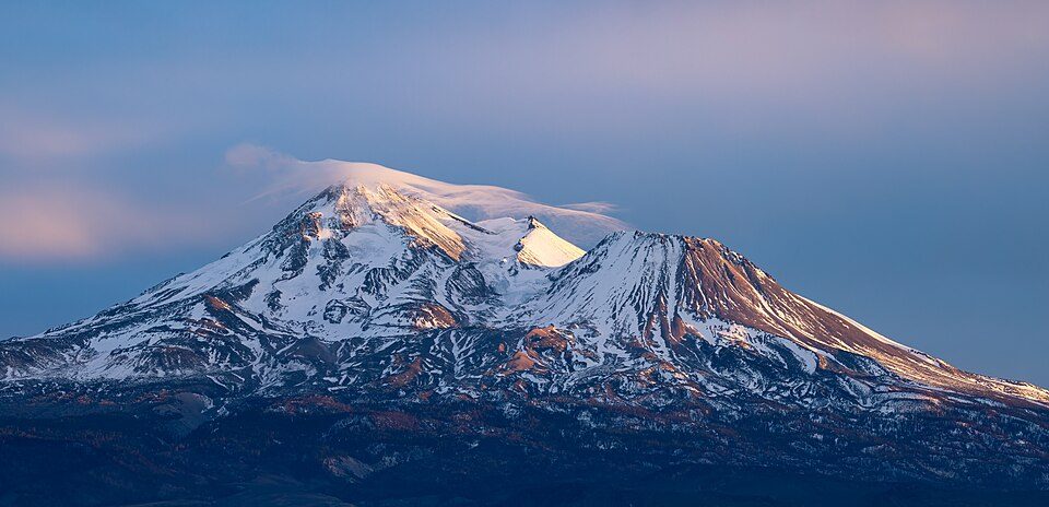 Big draw54 mi MountainMount Shasta
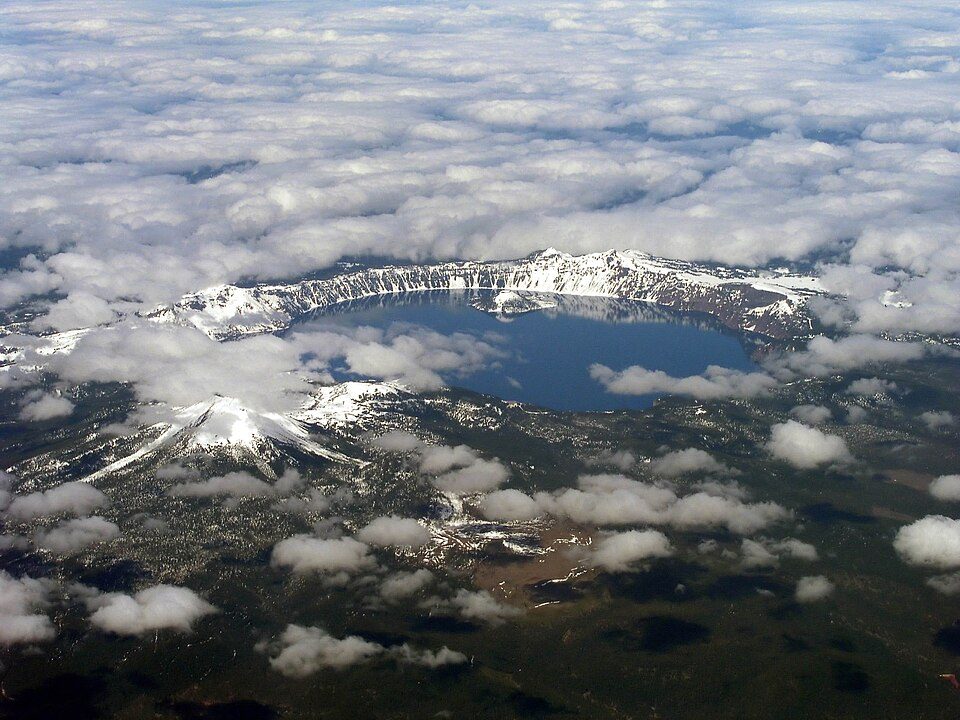 66 mi MountainMount Mazama
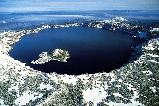 64 mi National ParkCrater Lake National Park632K visitors a year
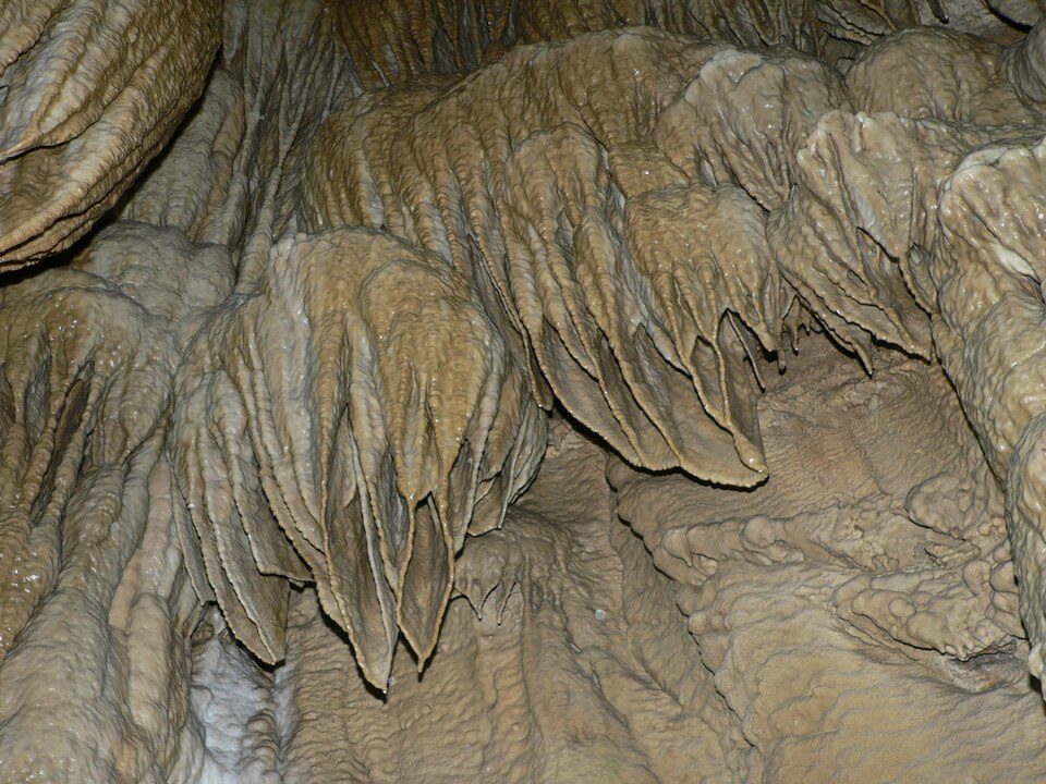 36 mi National MonumentOregon Caves National Monument and Preserve64K visitors a year
 17 mi GardenLithia Park
 67 mi National MonumentLava Beds National Monument144K visitors a year
 63 mi National forestSix Rivers National Forest
 63 mi WaterfallMossbrae Falls
Photo credits
Mount Shasta: Frank Schulenburg, CC BY-SA 4.0 · Mount Mazama: Semionk (talk · contribs), CC BY-SA 3.0 · Crater Lake National Park: Zainubrazvi, CC BY-SA 3.0 · Oregon Caves National Monument and Preserve: David Monniaux, CC BY-SA 3.0 · Lithia Park: Unknown, CC BY-SA 3.0 · Lava Beds National Monument: U.S. National Park Service, Public domain · Six Rivers National Forest: Clinton Steeds, CC BY 2.0 · Mossbrae Falls: Pinecar at English Wikipedia, Public domain


Visiting Mount Ashland
What town is Mount Ashland near?
Ashland, OR, about 8 miles north.
What is the closest airport to Mount Ashland?
Rogue Valley International-Medford (MFR), about 22 miles away. The nearest big hub is Reno Tahoe (RNO), about 236 miles.
Where should I stay near Mount Ashland?
Ashland (8 mi, 55 places to stay), Medford (19 mi, 52 places to stay) and Talent (11 mi, 9 places to stay).
Tips from people in Ashland
No tips yet. Ask, or answer, in Ashland’s Town Square.
Sources: National Park Service · ski areas © OpenSkiMap / OpenStreetMap contributors · Wikidata · Wikipedia readership · NOAA climate normals · U.S. Census.