
Massee Lane Gardens
Massee Lane Gardens (9 acres) are botanical gardens focusing on camellias, located at the American Camellia Society headquarters, 100 Massee Lane, Fort Valley, Georgia. On the map, it sits 3 mi northeast of Marshallville. This is a site of American Camellia Society.

A garden, 3 mi northeast of Marshallville
Perry is the nearest base
Perry is 11 miles east, with 41 places to stay. Where to stay ↓
A day trip from Atlanta
Atlanta is about 93 miles north (straight-line). Where to stay ↓
Best months: Mar, Apr, Oct and Nov
March, April, October and November are the mild months, with highs of 68–77°. When to go ↓
Established in 1930
Massee Lane Gardens dates from 1930 and is run by American Camellia Society. About ↓
Written from NOAA 1991–2020 normals, Overture places to stay, Census town figures, Wikidata and Wikipedia.
Warm months and cold ones
Every month near Massee Lane Gardens is set out below.
Massee Lane Gardens
Massee Lane Gardens (9 acres) are botanical gardens focusing on camellias, located at the American Camellia Society headquarters, 100 Massee Lane, Fort Valley, Georgia. They are open to the public for an admission fee.
The gardens were originally created by David C. Strother in the 1930s within the 160-acre (0.65 km2) property around his farm house. In 1966, he donated his property to the American Camellia Society. Its headquarters building was completed in 1968 and named in his honor. The T. J. Smith Memorial Greenhouse was constructed in 1969, and now houses some 200 camellia plants.
- Type
- Garden
- Established
- 1930
- Run by
- American Camellia Society
Staying near Massee Lane Gardens
The nearest towns with places to stay are Perry (41) and Warner Robins (39).
Perry
The closest town with somewhere to stay.
25,699 people
11 mi east of Massee Lane Gardens
Compare 8 towns
| Town | From Massee Lane Gardens | Drive | Places to stay | People | Typical home | Safety |
|---|---|---|---|---|---|---|
| Perry | 11 mi east | 15 min | 41 28 hotels · 8 motels · 1 inn or B&B · 1 lodge or cabins · 3 RV parks | 25,699 | $225K | C+ |
| Warner Robins | 17 mi northeast | 25 min | 39 31 hotels · 4 motels · 4 lodges & cabins | 87,761 | $186K | D |
| Macon-Bibb County | 25 mi northeast | 40 min | 105 90 hotels · 7 motels · 2 inns & B&Bs · 2 lodges & cabins · 3 campgrounds · 1 RV park | 157,556 | $175K | — |
| Fort Valley | 5 mi north | 5 min | 4 1 hotel · 1 motel · 1 inn or B&B · 1 lodge or cabins | 9,220 | $127K | — |
| Byron | 15 mi northeast | 20 min | 12 7 hotels · 1 motel · 1 inn or B&B · 1 lodge or cabins · 2 RV parks | 6,567 | $253K | B− |
| Marshallville | 3 mi southwest | 5 min | 1 1 inn or B&B | 978 | $78K | — |
| Unadilla | 19 mi southeast | 30 min | 5 3 hotels · 1 campground · 1 RV park | 3,091 | $61K | — |
| Oglethorpe | 16 mi southwest | 25 min | 2 2 RV parks | 955 | $65K | — |
Getting there
Nearest airports with airline service
While you are near Massee Lane Gardens
These lie within 66 miles as the crow flies.
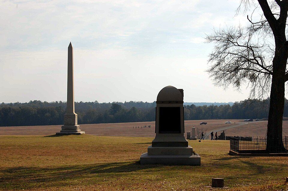 Big draw124 mi National Historic SiteAndersonville National Historic Site62K visitors a year
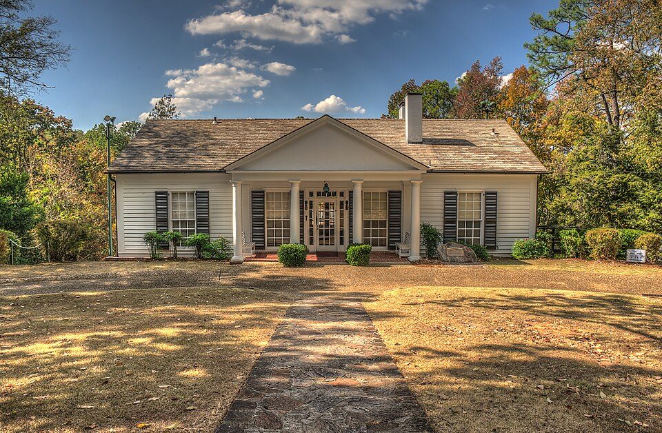 53 mi MuseumLittle White House
 42 mi National Historical ParkJimmy Carter National Historical Park39K visitors a year
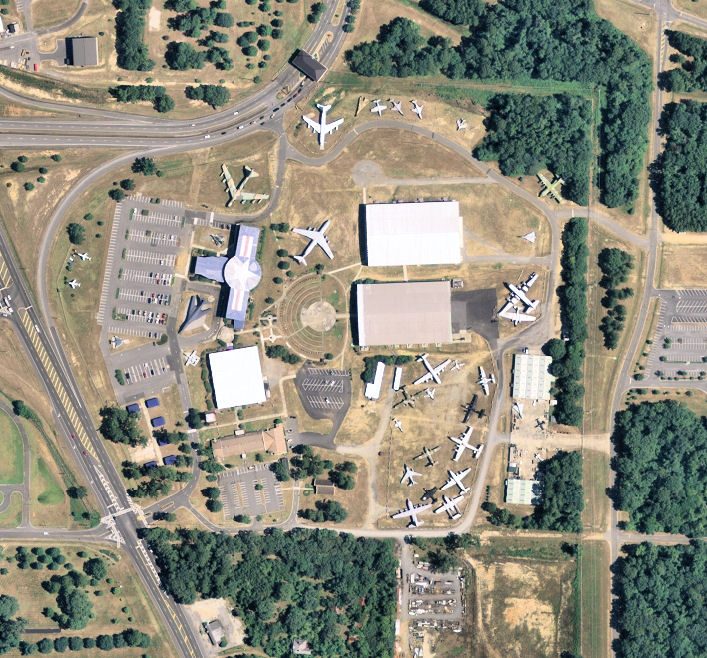 220 mi MuseumMuseum of Aviation
 30 mi National Historical ParkOcmulgee Mounds National Historical Park112K visitors a year
 66 mi State parkProvidence Canyon State Park
 60 mi GardenCallaway Gardens
 58 mi MuseumAndalusia
Photo credits
Andersonville National Historic Site: Jud McCranie at en.wikipedia, CC BY-SA 3.0 · Little White House: Dsdugan, CC0 · Jimmy Carter National Historical Park: Unknown, Public domain · Museum of Aviation: United States Geographical Survey, Public domain · Ocmulgee Mounds National Historical Park: Bubba73 (talk), Jud McCranie, CC BY-SA 3.0 · Providence Canyon State Park: Robbie Honerkamp, CC BY-SA 3.0 · Callaway Gardens: Thomsonmg2000, CC0 · Andalusia: Stephen Matthew Milligan, CC BY-SA 3.0


Quick answers on Massee Lane Gardens
What town is Massee Lane Gardens near?
Marshallville, GA, about 3 miles southwest.
When is the best time to visit Massee Lane Gardens?
March, April, October and November, with highs of 68–77°.
How far is Massee Lane Gardens from Atlanta?
About 93 miles north of Atlanta, as the crow flies.
What is the closest airport to Massee Lane Gardens?
Middle Georgia Regional (MCN), about 21 miles away. The nearest big hub is Hartsfield Jackson Atlanta (ATL), about 85 miles.
Where should I stay near Massee Lane Gardens?
Perry (11 mi, 41 places to stay), Warner Robins (17 mi, 39 places to stay) and Macon-Bibb County (25 mi, 105 places to stay).
Tips from people in Marshallville
Tips will appear here once someone posts in Marshallville’s Town Square.
Sources: National Park Service · ski areas © OpenSkiMap / OpenStreetMap contributors · Wikidata · Wikipedia readership · NOAA climate normals · U.S. Census.