
Providence Canyon State Park
Providence Canyon State Park is a 2,706-acre (1,095 ha) Georgia state park located in Stewart County in southwest Georgia, United States. You will find it 7 mi west of Lumpkin. Around it, U.S. Army Armor and Cavalry Collection (22 mi) comes first on our list.

A state park, 7 mi west of Lumpkin
Plan where you’ll sleep
The nearest town with many places to stay is Eufaula, 17 miles southwest. Where to stay ↓
Best months: Mar, Apr, Oct and Nov
March, April, October and November are the mild months, with highs of 68–78°. When to go ↓
Written from NOAA 1991–2020 normals, Overture places to stay, Census town figures and Wikipedia.
Warm months and cold ones
Use the months below to time a visit to Providence Canyon.
Providence Canyon State Park
Providence Canyon State Park is a 2,706-acre (1,095 ha) Georgia state park located in Stewart County in southwest Georgia, United States. The park contains Providence Canyon, which is sometimes called Georgia's "Little Grand Canyon". It is considered one of the Seven Wonders of Georgia. It is also home to the very rare plumleaf azalea.
One of the more unusual attractions of the state park is an abandoned homestead including nearly a dozen rusty, 1950s-era cars and trucks. Due to the environmental damage that removing the vehicles would cause, park officials have decided to leave them alone.
- Type
- State park
- Wikipedia readers
- 20K a year
Places to stay near Providence Canyon State Park
Lodging nearby is in Eufaula (16) and Phenix City (14), and Columbus has the most rooms in the area (80).
Eufaula
The closest town with somewhere to stay.
12,437 people
17 mi southwest of Providence Canyon
Columbus
The most places to stay in the area, and a base for a longer trip.
202,171 people
31 mi north of Providence Canyon
Compare 9 towns
| Town | From Providence Canyon | Drive | Places to stay | People | Typical home | Safety |
|---|---|---|---|---|---|---|
| Eufaula | 17 mi southwest | 25 min | 16 7 hotels · 2 motels · 2 inns & B&Bs · 2 lodges & cabins · 2 campgrounds · 1 RV park | 12,437 | $140K | D |
| Phenix City | 28 mi north | 40 min | 14 11 hotels · 3 motels | 38,344 | $170K | D |
| Richland | 15 mi east | 25 min | 3 1 hotel · 1 motel · 1 RV park | 1,394 | $48K | — |
| Lumpkin | 7 mi east | 10 min | 1 1 inn or B&B | 896 | $93K | — |
| Georgetown 26% vacation homes | 15 mi south | 20 min | 2 1 campground · 1 RV park | 2,254 | $105K | — |
| Cusseta | 21 mi north | 30 min | 4 4 hotels | 8,465 | $103K | — |
| Cuthbert | 22 mi south | 30 min | 4 1 hotel · 2 motels · 1 RV park | 3,026 | $126K | — |
| Buena Vista | 29 mi northeast | 45 min | 2 1 hotel · 1 campground | 1,583 | $81K | — |
| Columbus | 31 mi north | 45 min | 80 63 hotels · 10 motels · 1 inn or B&B · 4 lodges & cabins · 1 campground · 1 RV park | 202,171 | $194K | D |
Getting there
Nearest airports with airline service
Other places close by
These well-known sights sit within 59 miles.
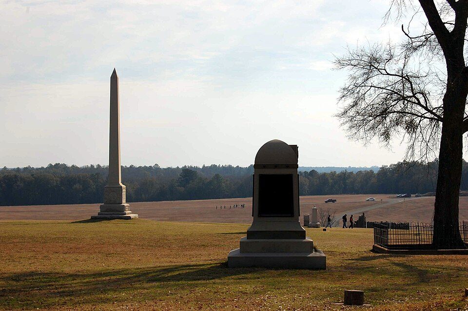 Big draw47 mi National Historic SiteAndersonville National Historic Site62K visitors a year
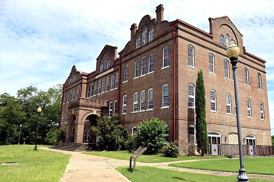 Big draw52 mi National Historic SiteTuskegee Institute National Historic Site9K visitors a year
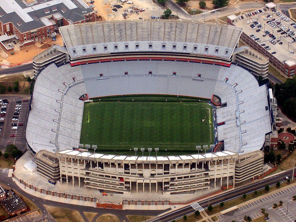 50 mi Stadium & arenaJordan–Hare Stadium
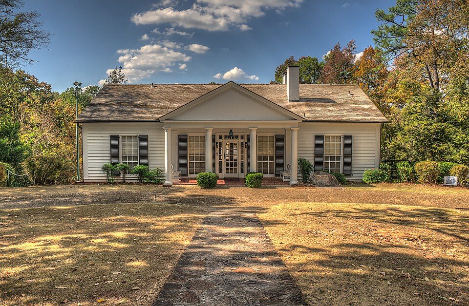 58 mi MuseumLittle White House
 31 mi National Historical ParkJimmy Carter National Historical Park39K visitors a year122 mi MuseumU.S. Army Armor and Cavalry Collection
 54 mi GardenCallaway Gardens
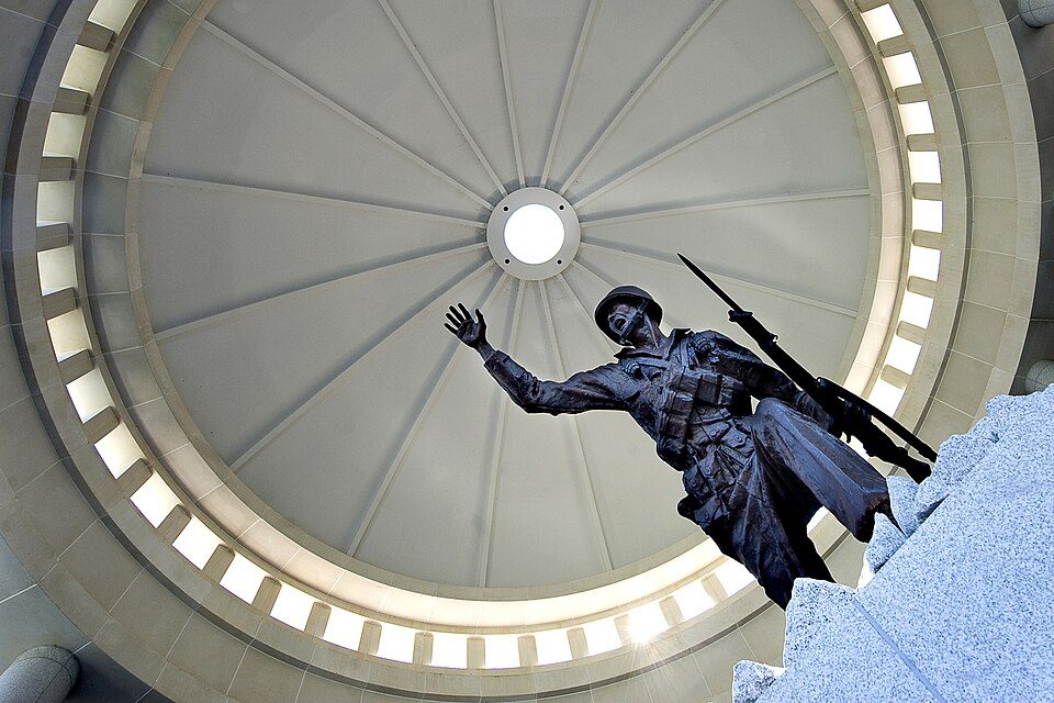 223 mi MuseumNational Infantry Museum300K visitors a year
Photo credits
Andersonville National Historic Site: Jud McCranie at en.wikipedia, CC BY-SA 3.0 · Tuskegee Institute National Historic Site: 2C2K Photography, CC BY 2.0 · Jordan–Hare Stadium: AuburnPilot, Public domain · Little White House: Dsdugan, CC0 · Jimmy Carter National Historical Park: Unknown, Public domain · Callaway Gardens: Thomsonmg2000, CC0 · National Infantry Museum: The National Infantry Museum and Soldier Center from Columbus, GA, USA, CC BY 2.0


Quick answers on Providence Canyon
What town is Providence Canyon State Park near?
Lumpkin, GA, about 7 miles east.
When is the best time to visit Providence Canyon State Park?
March, April, October and November, with highs of 68–78°.
What is the closest airport to Providence Canyon State Park?
Columbus (CSG), about 31 miles away. The nearest big hub is Hartsfield Jackson Atlanta (ATL), about 112 miles.
Where should I stay near Providence Canyon State Park?
Eufaula (17 mi, 16 places to stay), Columbus (31 mi, 80 places to stay) and Phenix City (28 mi, 14 places to stay).
Tips for visiting, from Lumpkin
Nobody has posted a tip yet; ask or answer in Lumpkin’s Town Square.
Sources: National Park Service · ski areas © OpenSkiMap / OpenStreetMap contributors · Wikidata · Wikipedia readership · NOAA climate normals · U.S. Census.