
Lyndale Park
Lyndale Park is a Minneapolis city park on the northeast side of Lake Harriet. Look for it in Minneapolis. The site is in the hands of Minneapolis Park and Recreation Board.

A garden inside Minneapolis
Winters are cold
January nights drop to 7°. When to go ↓
You can stay in Minneapolis
Lyndale Park is inside Minneapolis, which has 92 places to stay, so you won’t need a base farther out. Where to stay ↓
Established in 1907
Lyndale Park dates from 1907 and is run by Minneapolis Park and Recreation Board. About ↓
Best months: May, Jun, Jul, Aug and Sep
May, June, July, August and September are the mild months, with highs of 69–82°. When to go ↓
An airport 5 miles away
Minneapolis–Saint Paul International Airport / Wold–Chamberlain Field (MSP) has airline service, about 5 miles from Lyndale Park.
Written from NOAA 1991–2020 normals, Overture places to stay, Census town figures, Wikidata and Wikipedia.
The climate here
Below are typical highs and lows near Lyndale Park.
Lyndale Park
Lyndale Park is a Minneapolis city park on the northeast side of Lake Harriet. It is next to Lakewood Cemetery, southeast of Bde Maka Ska. It is part of an enormous greenspace circling through Minneapolis called the Grand Rounds Scenic Byway, and is one of the seven districts within, called the Chain of Lakes. The other six districts within Grand Rounds are the Downtown Riverfront, Mississippi River, Minnehaha, Theodore Wirth, Victory Memorial Parkway, and Northeast. Managed by the Minneapolis Park and Recreation Board, the 53-mile (85 km) parkway system has numerous parks and parkways, lakes (22 within the city limits), streams and creeks, the Mississippi River, and the 53-foot (16 m) high Minnehaha Falls. The 6,400-acre (26 km2) park system is designed so that every home in Minneapolis is within six blocks of green space.
- Type
- Garden
- Established
- 1907
- Area
- 61 acres
- Run by
- Minneapolis Park and Recreation Board
Places to stay near Lyndale Park
Nearest for a night are Minneapolis (92) and Bloomington (60).
- 1U.S. Bank Stadium
- 2Target Field
- 3Huntington Bank Stadium
- 4Bde Maka Ska
- 5Grand Casino Arena
- 6Nickelodeon Universe
- 7Fort Snelling
- 8Saint Anthony Falls
Compare 8 towns
| Town | From Lyndale Park | Drive | Places to stay | People | Typical home | Safety |
|---|---|---|---|---|---|---|
| Minneapolis | in town | — | 92 77 hotels · 2 motels · 4 inns & B&Bs · 4 lodges & cabins · 5 campgrounds | 430,324 | $362K | D− |
| Bloomington | 7 mi south | 10 min | 60 57 hotels · 1 motel · 2 campgrounds | 89,034 | $362K | D |
| St. Paul | 10 mi east | 15 min | 36 25 hotels · 3 motels · 6 inns & B&Bs · 2 lodges & cabins | 306,684 | $295K | D |
| Eagan | 10 mi southeast | 15 min | 26 23 hotels · 1 motel · 2 campgrounds | 67,109 | $397K | C+ |
| Roseville | 9 mi northeast | 15 min | 16 15 hotels · 1 motel | 35,663 | $352K | D− |
| Eden Prairie | 10 mi southwest | 15 min | 16 15 hotels · 1 campground | 63,075 | $474K | B |
| St. Louis Park | 4 mi northwest | 5 min | 8 7 hotels · 1 lodge or cabins | 50,027 | $387K | C− |
| Burnsville | 11 mi south | 15 min | 15 13 hotels · 1 motel · 1 inn or B&B | 65,244 | $355K | C |
Getting there
Nearest airports with airline service
Nearby, too
Places worth adding lie within 10 miles.
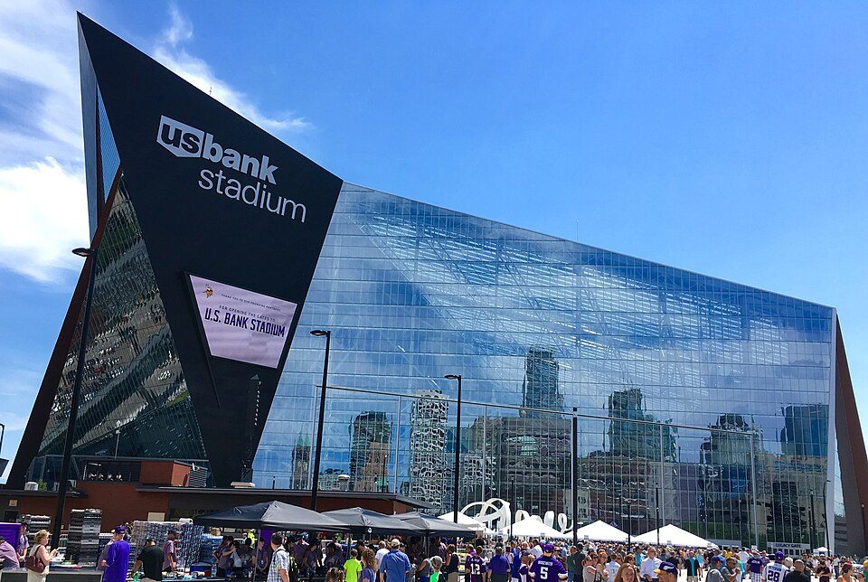 Big draw14 mi Stadium & arenaU.S. Bank Stadium
 24 mi Stadium & arenaTarget Field
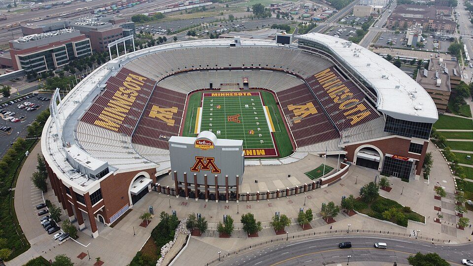 35 mi Stadium & arenaHuntington Bank Stadium
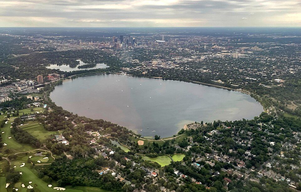 4in town LakeBde Maka Ska
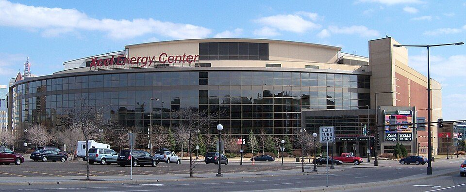 510 mi Stadium & arenaGrand Casino Arena
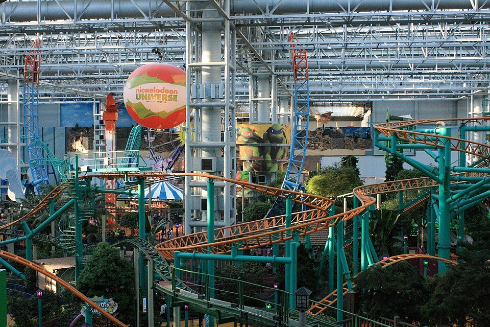 66 mi Theme parkNickelodeon Universe
 76 mi LandmarkFort Snelling
 84 mi WaterfallSaint Anthony Falls
Photo credits
U.S. Bank Stadium: Darb02, CC BY-SA 4.0 · Target Field: Lectrician2, CC BY-SA 4.0 · Huntington Bank Stadium: Lectrician2, CC BY-SA 4.0 · Bde Maka Ska: Tyler Vigen, CC BY-SA 4.0 · Grand Casino Arena: AlexiusHoratius, CC BY-SA 3.0 · Nickelodeon Universe: Tyler Vigen, CC BY 4.0 · Fort Snelling: en:User:The Statue With The Dictionary, CC BY-SA 3.0 · Saint Anthony Falls: The original uploader was Mulad at English Wikipedia., Public domain


Planning a visit to Lyndale Park
Is Lyndale Park in Minneapolis?
Yes. It’s inside Minneapolis, MN.
When is the best time to visit Lyndale Park?
May, June, July, August and September, with highs of 69–82°.
What is the closest airport to Lyndale Park?
Minneapolis–Saint Paul International Airport / Wold–Chamberlain Field (MSP), about 5 miles away.
Where should I stay near Lyndale Park?
Minneapolis (in town, 92 places to stay), Bloomington (7 mi, 60 places to stay) and St. Paul (10 mi, 36 places to stay).
Ask a local in Minneapolis
Share what you know in Minneapolis’s Town Square.
Sources: National Park Service · ski areas © OpenSkiMap / OpenStreetMap contributors · Wikidata · Wikipedia readership · NOAA climate normals · U.S. Census.