
Saint Anthony Falls
Saint Anthony Falls, or the Falls of Saint Anthony (Dakota: Owámniyomni, lit. 'whirlpool'), located at the northeastern edge of downtown Minneapolis, Minnesota, was the only natural major waterfall on the Mississippi River. Add U.S. Bank Stadium, 0.5 mi away, to a visit. Expect 69–82°F afternoons in the mildest months, May to September.

A waterfall inside Minneapolis
Winters are cold
January nights drop to 7°. When to go ↓
You can stay in Minneapolis
Saint Anthony Falls is inside Minneapolis, which has 92 places to stay, so you won’t need a base farther out. Where to stay ↓
Best months: May, Jun, Jul, Aug and Sep
May, June, July, August and September are the mild months, with highs of 69–82°. When to go ↓
An airport 7 miles away
Minneapolis–Saint Paul International Airport / Wold–Chamberlain Field (MSP) has airline service, about 7 miles from Saint Anthony Falls.
Written from NOAA 1991–2020 normals, Overture places to stay, Census town figures and Wikipedia.
Choosing a month
Pick a month for Saint Anthony Falls from the weather below.
Saint Anthony Falls
Saint Anthony Falls, or the Falls of Saint Anthony (Dakota: Owámniyomni, lit. 'whirlpool'), located at the northeastern edge of downtown Minneapolis, Minnesota, was the only natural major waterfall on the Mississippi River. Throughout the mid-to-late 1800s, various dams were built atop the east and west faces of the falls to support the milling industry that spurred the growth of the city of Minneapolis. In 1880, the central face of the falls was reinforced with a sloping timber apron to stop the upstream erosion of the falls. In the 1950s, the apron was rebuilt with concrete, which makes up the most visible portion of the falls today. A series of locks were constructed in the 1950s and 1960s to extend navigation to points upstream.
- Type
- Waterfall
- Wikipedia readers
- 28K a year
Rooms near Saint Anthony Falls
The first towns with rooms are Minneapolis (92) and Bloomington (60).
- 1U.S. Bank Stadium
- 2Target Field
- 3Huntington Bank Stadium
- 4Grand Casino Arena
- 5Bde Maka Ska
- 6Guthrie Theater
- 7Allianz Field
- 8Nickelodeon Universe
Compare 8 towns
| Town | From Saint Anthony Falls | Drive | Places to stay | People | Typical home | Safety |
|---|---|---|---|---|---|---|
| Minneapolis | in town | — | 92 77 hotels · 2 motels · 4 inns & B&Bs · 4 lodges & cabins · 5 campgrounds | 430,324 | $362K | D− |
| Bloomington | 11 mi south | 15 min | 60 57 hotels · 1 motel · 2 campgrounds | 89,034 | $362K | D |
| St. Paul | 8 mi east | 10 min | 36 25 hotels · 3 motels · 6 inns & B&Bs · 2 lodges & cabins | 306,684 | $295K | D |
| Roseville | 6 mi northeast | 10 min | 16 15 hotels · 1 motel | 35,663 | $352K | D− |
| Eagan | 12 mi south | 20 min | 26 23 hotels · 1 motel · 2 campgrounds | 67,109 | $397K | C+ |
| Brooklyn Center | 7 mi northwest | 10 min | 12 11 hotels · 1 motel | 31,846 | $274K | D |
| St. Louis Park | 6 mi southwest | 10 min | 8 7 hotels · 1 lodge or cabins | 50,027 | $387K | C− |
| Eden Prairie | 13 mi southwest | 20 min | 16 15 hotels · 1 campground | 63,075 | $474K | B |
Getting there
Nearest airports with airline service
Close to Saint Anthony Falls
The best known nearby are within 9 miles.
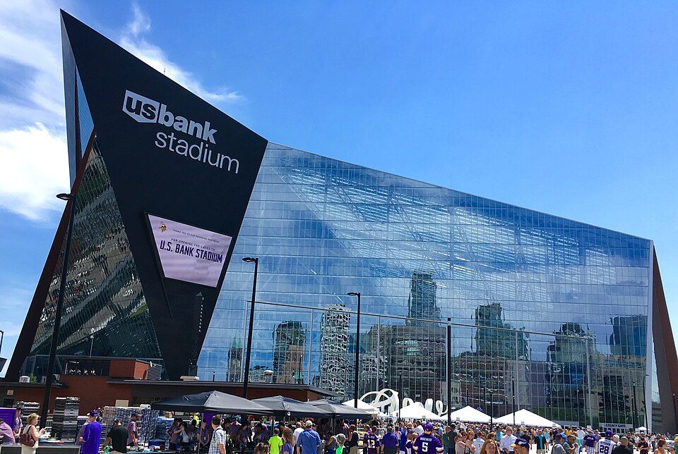 Big draw1in town Stadium & arenaU.S. Bank Stadium
 2in town Stadium & arenaTarget Field
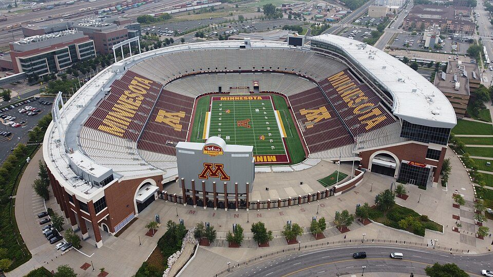 32 mi Stadium & arenaHuntington Bank Stadium
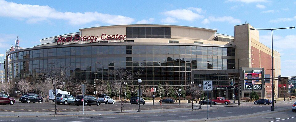 48 mi Stadium & arenaGrand Casino Arena
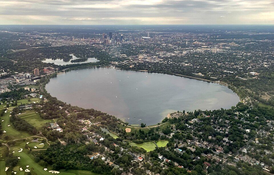 54 mi LakeBde Maka Ska
 6in town TheatreGuthrie Theater
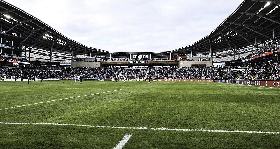 75 mi Stadium & arenaAllianz Field
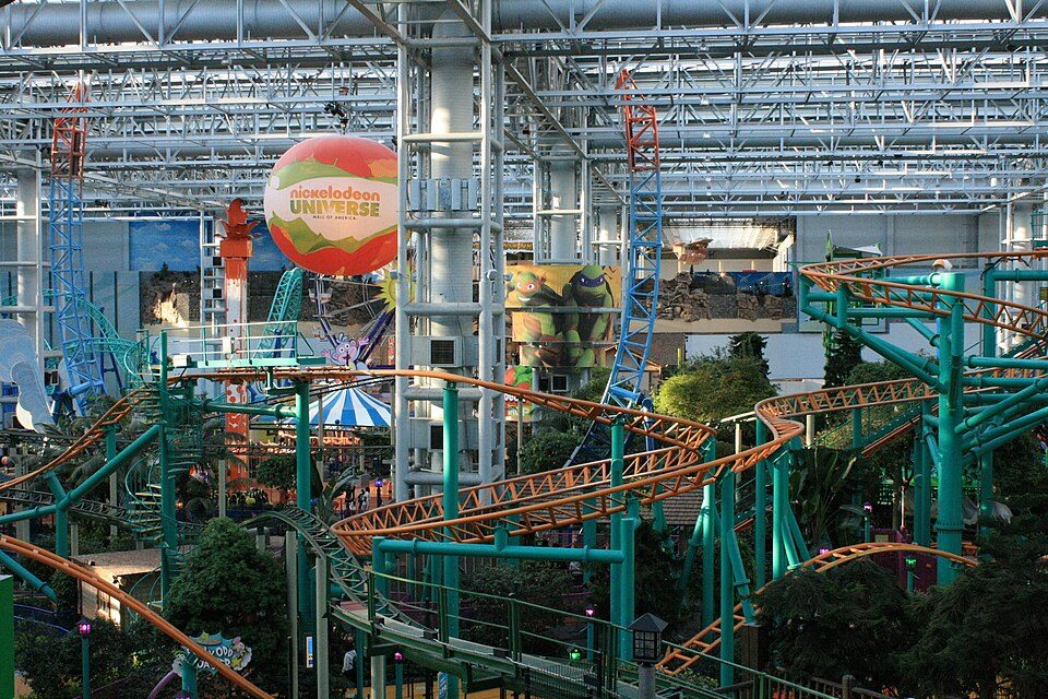 89 mi Theme parkNickelodeon Universe
Photo credits
U.S. Bank Stadium: Darb02, CC BY-SA 4.0 · Target Field: Lectrician2, CC BY-SA 4.0 · Huntington Bank Stadium: Lectrician2, CC BY-SA 4.0 · Grand Casino Arena: AlexiusHoratius, CC BY-SA 3.0 · Bde Maka Ska: Tyler Vigen, CC BY-SA 4.0 · Guthrie Theater: Bobak Ha'Eri, CC BY 3.0 · Allianz Field: Andy Witchger, CC BY 2.0 · Nickelodeon Universe: Tyler Vigen, CC BY 4.0


A visit to Saint Anthony Falls: questions
Is Saint Anthony Falls in Minneapolis?
Yes. It’s inside Minneapolis, MN.
When is the best time to visit Saint Anthony Falls?
May, June, July, August and September, with highs of 69–82°.
What is the closest airport to Saint Anthony Falls?
Minneapolis–Saint Paul International Airport / Wold–Chamberlain Field (MSP), about 7 miles away.
Where should I stay near Saint Anthony Falls?
Minneapolis (in town, 92 places to stay), Bloomington (11 mi, 60 places to stay) and St. Paul (8 mi, 36 places to stay).
Local tips in Minneapolis
Start the conversation in Minneapolis’s Town Square.
Sources: National Park Service · ski areas © OpenSkiMap / OpenStreetMap contributors · Wikidata · Wikipedia readership · NOAA climate normals · U.S. Census.