Lucchesi Park
Lucchesi Park is a public park located in Petaluma, California. The best weather comes with March to November, at 64–81°F.
A garden inside Petaluma
You can stay in Petaluma
Lucchesi Park is inside Petaluma, which has 17 places to stay, so you won’t need a base farther out. Where to stay ↓
A day trip from Sacramento
Sacramento is about 67 miles east (straight-line). Where to stay ↓
Best months: Mar, Apr, May, Jun, Jul, Aug, Sep, Oct and Nov
March, April, May, June, July, August, September, October and November are the mild months, with highs of 64–81°. When to go ↓
Written from NOAA 1991–2020 normals, Overture places to stay, Census town figures and Wikipedia.
The weather by month
Each month’s highs and lows around Lucchesi Park are below.
Lucchesi Park
Lucchesi Park is a public park located in Petaluma, California. It is maintained by the City of Petaluma and features activities for families. These activities include two playgrounds, a pond, picnic tables, BBQ area, tennis, pickleball and handball, synthetic turf field, two baseball complexes, and walking paths. The Petaluma Community and Senior Centers are both within the park. The park is also a bird watching spot, due to the lake and woods nearby. One can often see Mallards, Ring-billed gulls, Brewer's blackbird, the bushtit, and the Golden-crowned sparrow, just to name a few. The park was named after Mario "Moch" Lucchesi.
- Type
- Garden
- Area
- 30 acres
Overnight near Lucchesi Park
To stay close, try Petaluma (17) and Sonoma (25), and San Francisco has the most rooms in the area (528).
San Francisco
The most places to stay in the area, and a base for a longer trip.
826,079 people
35 mi south of Lucchesi Park
Compare 9 towns
| Town | From Lucchesi Park | Drive | Places to stay | People | Typical home | Safety |
|---|---|---|---|---|---|---|
| Petaluma | in town | — | 17 11 hotels · 1 motel · 1 inn or B&B · 1 lodge or cabins · 3 campgrounds | 59,688 | $879K | C+ |
| Sonoma | 10 mi east | 15 min | 25 13 hotels · 9 inns & B&Bs · 3 lodges & cabins | 10,537 | $971K | B |
| Santa Rosa | 14 mi north | 20 min | 42 28 hotels · 3 motels · 7 inns & B&Bs · 3 lodges & cabins · 1 RV park | 179,437 | $714K | C |
| Napa | 18 mi east | 25 min | 64 44 hotels · 2 motels · 16 inns & B&Bs · 1 lodge or cabins · 1 RV park | 76,562 | $856K | C |
| Rohnert Park | 8 mi northwest | 10 min | 13 10 hotels · 1 motel · 2 RV parks | 44,811 | $666K | C+ |
| Novato | 13 mi south | 20 min | 13 10 hotels · 1 inn or B&B · 2 RV parks | 51,947 | $1,033K | C+ |
| Vallejo | 22 mi southeast | 35 min | 36 24 hotels · 7 motels · 2 inns & B&Bs · 1 lodge or cabins · 1 campground · 1 RV park | 123,287 | $590K | D− |
| Calistoga | 23 mi north | 35 min | 36 11 hotels · 21 inns & B&Bs · 3 lodges & cabins · 1 RV park | 4,954 | — | C+ |
| San Francisco | 35 mi south | 55 min | 528 426 hotels · 24 motels · 37 inns & B&Bs · 5 lodges & cabins · 27 hostels · 6 campgrounds · 3 RV parks | 826,079 | $1,395K | D |
Day trip from
Straight-line miles.
Getting there
Nearest airports with airline service
Also within reach
These well-known sights sit within 69 miles.
 Big draw32 mi MuseumAlcatraz Federal Penitentiary
 Big draw33 mi LandmarkLombard Street
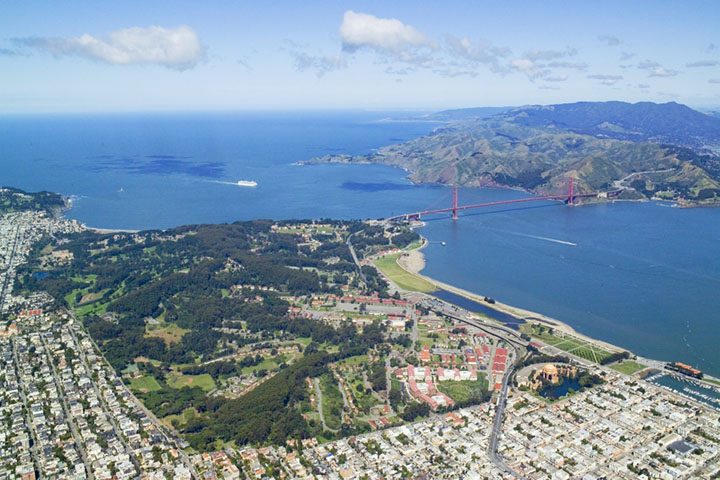 Big draw33 mi GardenPresidio of San Francisco
 Big draw38 mi MuseumUSS Hornet
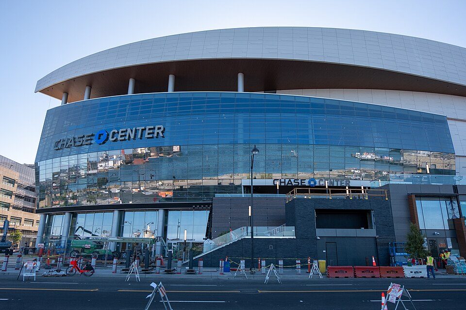 Big draw36 mi Stadium & arenaChase Center
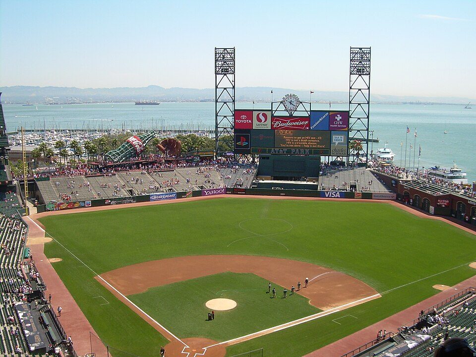 Big draw35 mi Stadium & arenaOracle Park
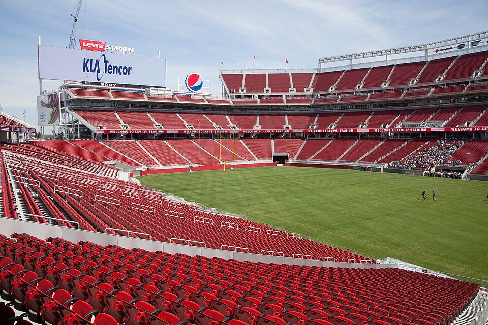 Big draw69 mi Stadium & arenaLevi's Stadium
 125 mi National MonumentMuir Woods National Monument757K visitors a year
Photo credits
Alcatraz Federal Penitentiary: druchoy, CC BY-SA 2.0 · Lombard Street: The original uploader was Y6y6y6 at English Wikipedia., Public domain · Presidio of San Francisco: Robert Campbell, CC BY-SA 3.0 · USS Hornet: kitmasterbloke, CC BY 2.0 · Chase Center: Gregory Varnum, CC BY-SA 4.0 · Oracle Park: User Coasttocoast on en.wikipedia, CC BY-SA 3.0 · Levi's Stadium: Matthew Roth, CC BY-SA 2.0 · Muir Woods National Monument: Unknown, CC BY-SA 3.0


Good to know about Lucchesi Park
Is Lucchesi Park in Petaluma?
Yes. It’s inside Petaluma, CA.
When is the best time to visit Lucchesi Park?
March, April, May, June, July, August, September, October and November, with highs of 64–81°.
How far is Lucchesi Park from Oakland and Sacramento?
About 40 miles southeast of Oakland and about 67 miles east of Sacramento, as the crow flies.
What is the closest airport to Lucchesi Park?
Charles M. Schulz Sonoma County (STS), about 20 miles away. The nearest big hub is Oakland San Francisco Bay (OAK), about 43 miles.
Where should I stay near Lucchesi Park?
Petaluma (in town, 17 places to stay), San Francisco (35 mi, 528 places to stay) and Sonoma (10 mi, 25 places to stay).
Inside knowledge from Petaluma
People in Petaluma have not posted tips yet; their Town Square is open.
Sources: National Park Service · ski areas © OpenSkiMap / OpenStreetMap contributors · Wikidata · Wikipedia readership · NOAA climate normals · U.S. Census.