Kaintuck Territory
Kaintuck Territory was a theme park located near Benton, Kentucky, United States. The first name on our list around it is Land Between the Lakes, 15 mi away. Its mildest months, April, May, September and October, bring highs of 70–82°F.
A theme park, 6 mi north of Benton
Check the season before you go
Most theme parks this far north close for the winter. Check the park’s calendar for opening days. When to go ↓
Gilbertsville is the nearest base
Gilbertsville is 7 miles north, with 7 places to stay. Where to stay ↓
Best months: Apr, May, Sep and Oct
April, May, September and October are the mild months, with highs of 70–82°. When to go ↓
Written from NOAA 1991–2020 normals, Overture places to stay, Census town figures and Wikipedia.
Choosing a month
Plan a visit to Kaintuck Territory around the weather below.
Kaintuck Territory
Kaintuck Territory was a theme park located near Benton, Kentucky, United States. The park was situated on the east side of U.S. Highway 641, about a mile northeast of U.S. Highway 68. It was largely conducted around an Old West theme. It was built and operated by Walter Sill. The hourly gunfights were little vignettes of the Wild West, complete with people shot off roofs. They were written and directed by Willard W. (Bill) Willingham, a veteran Western movie actor, writer, and stuntman with experience from dozens of movies. Movie actor Rory Calhoun was present for the grand opening. It was marketed primarily on a regional basis as a day-trip destination for those living within an easy driving distance. It had a steam train, a stagecoach ride, variety acts such as knife throwing, ventriloquists and magicians, a silent movie palace, and a funhouse.
- Type
- Theme park
- Wikipedia readers
- 1.1K a year
Staying near Kaintuck Territory
To stay close, try Grand Rivers (11) and Calvert City (11).
Grand Rivers
The closest town with somewhere to stay.
345 people · 24% vacation homes
8 mi northeast of Kaintuck Territory
Compare 8 towns
| Town | From Kaintuck Territory | Drive | Places to stay | People | Typical home | Safety |
|---|---|---|---|---|---|---|
| Grand Rivers 24% vacation homes | 8 mi northeast | 10 min | 11 2 hotels · 1 motel · 2 inns & B&Bs · 2 lodges & cabins · 4 campgrounds | 345 | $171K | — |
| Calvert City | 9 mi northwest | 15 min | 11 5 hotels · 1 motel · 1 inn or B&B · 1 lodge or cabins · 2 campgrounds · 1 RV park | 2,510 | $166K | C+ |
| Paducah | 20 mi northwest | 30 min | 41 35 hotels · 2 motels · 4 inns & B&Bs | 26,730 | $165K | C− |
| Gilbertsville | 7 mi north | 10 min | 7 2 hotels · 1 motel · 3 campgrounds · 1 RV park | 433 | $102K | — |
| Kuttawa 37% vacation homes | 15 mi northeast | 25 min | 8 4 hotels · 2 inns & B&Bs · 1 campground · 1 RV park | 663 | $292K | — |
| Murray | 22 mi south | 35 min | 10 8 hotels · 1 motel · 1 inn or B&B | 18,964 | $195K | B− |
| Benton | 6 mi south | 10 min | 1 1 motel | 4,718 | $157K | B |
| Eddyville | 17 mi northeast | 25 min | 4 1 hotel · 1 inn or B&B · 1 campground · 1 RV park | 2,306 | $188K | A+ |
Getting there
Nearest airports with airline service
More to see nearby
A wider trip can take in these, within 58 miles.
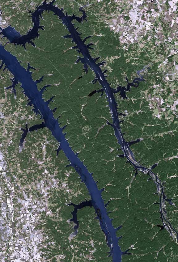 115 mi Park & preserveLand Between the Lakes National Recreation Area
 43 mi National forestShawnee National Forest
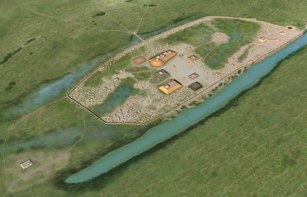 214 mi Ancient siteKincaid Mounds State Historic Site47 mi Park & preserveGarden of the Gods Wilderness
 38 mi CaveCave-in-Rock State Park
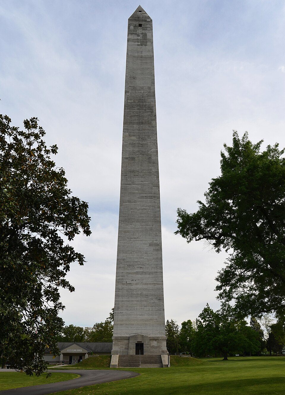 57 mi State parkJefferson Davis State Historic Site45 mi Ancient siteFort Defiance
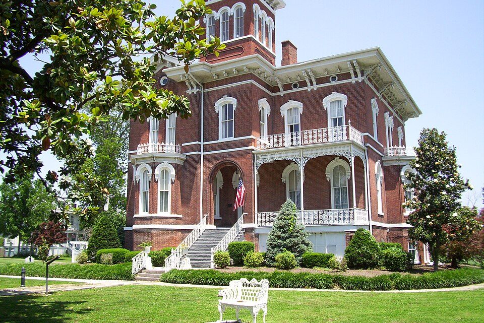 47 mi MuseumMagnolia Manor
Photo credits
Land Between the Lakes National Recreation Area: http://www.terraprints.com, CC BY 2.5 · Shawnee National Forest: Daniel Schwen, CC BY-SA 4.0 · Kincaid Mounds State Historic Site: Herb Roe, CC BY-SA 4.0 · Garden of the Gods Wilderness: Daniel Schwen, CC BY-SA 4.0 · Cave-in-Rock State Park: Daniel Schwen, CC BY-SA 4.0 · Jefferson Davis State Historic Site: Bbadgett, CC BY-SA 3.0 · Magnolia Manor: MuZemike, CC BY-SA 3.0


Questions before you go
Is Kaintuck Territory open in winter?
Most theme parks this far north close for the winter. Check the park’s calendar for opening days.
What town is Kaintuck Territory near?
Benton, KY, about 6 miles south.
When is the best time to visit Kaintuck Territory?
April, May, September and October, with highs of 70–82°.
What is the closest airport to Kaintuck Territory?
Barkley Regional (PAH), about 26 miles away. The nearest big hub is Nashville (BNA), about 107 miles.
Where should I stay near Kaintuck Territory?
Grand Rivers (8 mi, 11 places to stay), Calvert City (9 mi, 11 places to stay) and Paducah (20 mi, 41 places to stay).
Word from Benton
Questions and tips go in Benton’s Town Square.
Sources: National Park Service · ski areas © OpenSkiMap / OpenStreetMap contributors · Wikidata · Wikipedia readership · NOAA climate normals · U.S. Census.