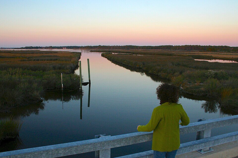
Harriet Tubman Underground Railroad National Historical Park
Harriet Tubman Underground Railroad National Historical Park is a 480-acre (190 ha) National Park Service unit in the U.S.

A national historical park, 6 mi southeast of Madison
July is the busiest month
July averages about 2,215 visitors, 6.2 times January. When to go ↓
Cambridge is the nearest base
Cambridge is 8 miles northeast, with 12 places to stay. Where to stay ↓
Best months: Apr and May
April and May are mild and quieter than average, with highs of 67–75°. When to go ↓
A day trip from Washington
Washington is about 57 miles northwest and Baltimore is about 64 miles northwest (straight-line). Where to stay ↓
Written from National Park Service visitor counts, NOAA 1991–2020 normals, Overture places to stay, Census town figures, Wikidata and Wikipedia. Updated when the Park Service posts a new month.
Crowds and weather, month by month
Bars: average monthly visitors, 2023–2025. Line: the typical afternoon high. Green months are mild and quieter than average.
Harriet Tubman Underground Railroad National Historical Park
Harriet Tubman Underground Railroad National Historical Park is a 480-acre (190 ha) National Park Service unit in the U.S. state of Maryland. It commemorates the life of former enslaved Harriet Tubman, who became an activist in the Underground Railroad prior to the American Civil War. The Harriet Tubman Underground Railroad National Monument was created by President Barack Obama under the Antiquities Act on March 25, 2013. The portion of the monument administered by the National Park Service was later designated a National Historical Park in 2014, and the remainder is managed by the Fish and Wildlife Service as part of Blackwater National Wildlife Refuge.
- Type
- National Historical Park
- Run by
- National Park Service
- Wikipedia readers
- 2.2K a year
- Official site
- nps.gov/hatu
Before you go
Where to stay near Harriet Tubman Underground Railroad National Historical Park
The closest towns with hotels, motels or campgrounds are Cambridge (12) and St. Michaels (22).
Cambridge
The closest town with somewhere to stay.
13,457 people
8 mi northeast of Harriet Tubman Underground Railroad Visitor Center · 10 mi to the park
St. Michaels
1,083 people
24 mi north of Harriet Tubman Underground Railroad Visitor Center · 20 mi to the park
Easton
17,293 people
23 mi north of Harriet Tubman Underground Railroad Visitor Center · 21 mi to the park
California
13,136 people
22 mi southwest of Harriet Tubman Underground Railroad Visitor Center · 18 mi to the park
Compare 8 towns
| Town | From the visitor center | Drive | Places to stay | People | Typical home | Safety |
|---|---|---|---|---|---|---|
| Cambridge | 8 mi northeast | 10 min | 12 9 hotels · 1 inn or B&B · 2 lodges & cabins | 13,457 | $258K | D |
| St. Michaels | 24 mi north | 35 min | 22 5 hotels · 14 inns & B&Bs · 3 lodges & cabins | 1,083 | $566K | C+ |
| Easton | 23 mi north | 35 min | 18 10 hotels · 7 inns & B&Bs · 1 lodge or cabins | 17,293 | $359K | C− |
| California | 22 mi southwest | 35 min | 15 14 hotels · 1 lodge or cabins | 13,136 | $347K | — |
| Lexington Park | 22 mi southwest | 30 min | 10 8 hotels · 1 motel · 1 lodge or cabins | 13,252 | $310K | — |
| Solomons | 19 mi southwest | 30 min | 7 3 hotels · 3 inns & B&Bs · 1 campground | 2,440 | $437K | — |
| Salisbury | 30 mi east | 45 min | 25 15 hotels · 4 motels · 3 inns & B&Bs · 2 lodges & cabins · 1 campground | 33,845 | $227K | D |
| Algonquin | 10 mi north | 15 min | 2 2 inns & B&Bs | 1,074 | $343K | — |
Day trip from
Straight-line miles.
Getting there
Nearest airports with airline service, from the visitor center
Also near Harriet Tubman Underground Railroad
Other well-known places within 59 miles.
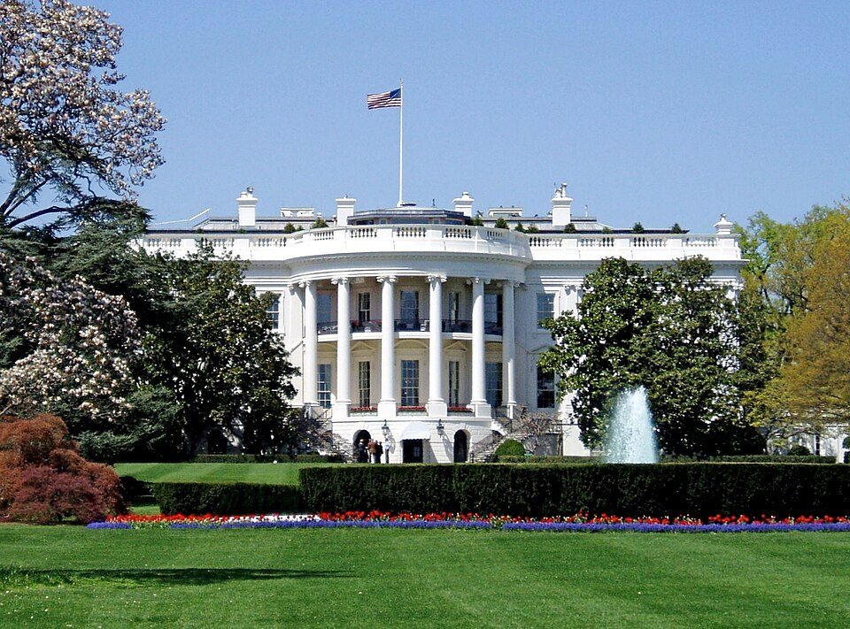 Big draw58 mi National park siteWhite House311K visitors a year
 Big draw57 mi National MemorialWashington Monument204K visitors a year
 Big draw58 mi LandmarkArlington National Cemetery
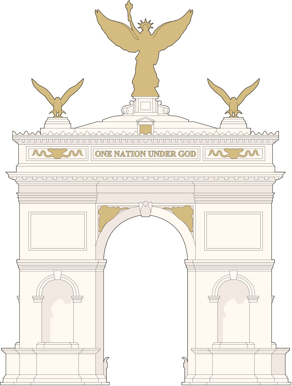 Big draw58 mi LandmarkUnited States Triumphal Arch
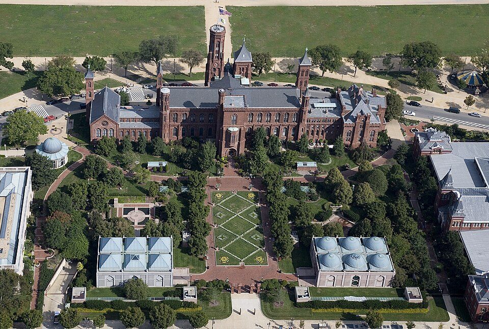 Big draw57 mi MuseumSmithsonian Institution30.0M visitors a year
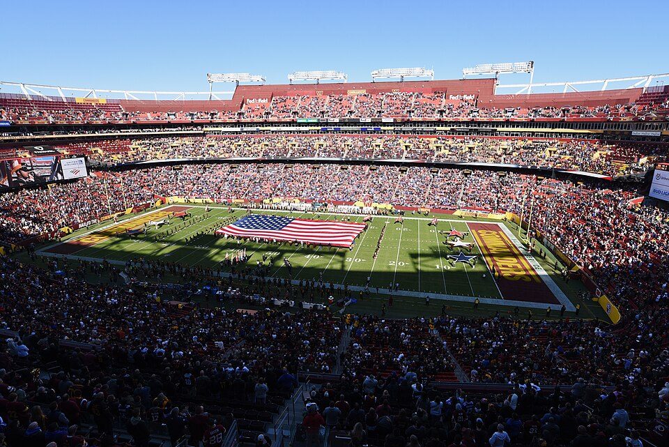 Big draw50 mi Stadium & arenaNorthwest Stadium
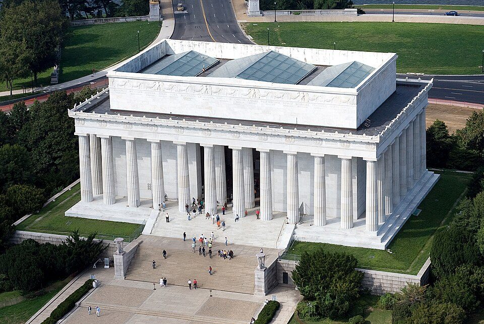 Big draw58 mi National MemorialLincoln Memorial7.7M visitors a year
 Big draw58 mi LandmarkTomb of the Unknown Soldier
Photo credits
White House: This image or media was taken or created by Matt H. Wade. To see his entire port, CC BY-SA 3.0 · Washington Monument: Oren Rozen, CC BY-SA 4.0 · Arlington National Cemetery: Protoant, Public domain · United States Triumphal Arch: Hstoops, CC0 · Smithsonian Institution: Highsmith, Carol M., 1946-, photographer, Public domain · Northwest Stadium: Maryland GovPics, CC BY 2.0 · Lincoln Memorial: Aerial_view_of_Lincoln_Memorial_-_east_side.jpg: Carol M. Highsmith derivative w, Public domain · Tomb of the Unknown Soldier: Arlington National Cemetery, Public domain


15,348 visitors in 2025
Every full year the Park Service has counted. Green is the record (2024).
Visiting Harriet Tubman Underground Railroad
What town is Harriet Tubman Underground Railroad National Historical Park near?
Madison, MD, about 6 miles northwest.
When is the best time to visit Harriet Tubman Underground Railroad National Historical Park?
April and May, with highs of 67–75°. July is the busiest month (about 2,215 visitors).
How many people visit Harriet Tubman Underground Railroad National Historical Park each year?
15,348 in 2025, according to the National Park Service. The record is 17,946, set in 2024.
How far is Harriet Tubman Underground Railroad National Historical Park from Washington and Baltimore?
About 57 miles northwest of Washington and about 64 miles northwest of Baltimore, as the crow flies.
What is the closest airport to Harriet Tubman Underground Railroad National Historical Park?
Salisbury Ocean City Wicomico Regional (SBY), about 35 miles away. The nearest big hub is Ronald Reagan Washington National (DCA), about 56 miles.
Where should I stay near Harriet Tubman Underground Railroad National Historical Park?
Cambridge (8 mi, 12 places to stay), St. Michaels (24 mi, 22 places to stay) and Easton (23 mi, 18 places to stay).
Tips from people in Madison
No tips yet. Ask, or answer, in Madison’s Town Square.
Sources: National Park Service · ski areas © OpenSkiMap / OpenStreetMap contributors · Wikidata · Wikipedia readership · National Park Service visitor use statistics · NOAA climate normals · U.S. Census.