
Garfield Park
Garfield Park is a neighborhood park in Washington D.C. Named after American president James A. Garfield, it is located at the intersection of 2nd Street and G Street in the Capitol Hill neighborhood of Southeast, Washington, D.C. It is bounded by 3rd street on the east and New Jersey Avenue on the west. The first name on our list around it is White House, 2.1 mi away. Expect 67–80°F afternoons in the mildest months, April, May, September and October.

A garden inside Washington
You can stay in Washington
Garfield Park is inside Washington, which has 247 places to stay, so you won’t need a base farther out. Where to stay ↓
A day trip from Baltimore
Baltimore is about 36 miles northeast (straight-line). Where to stay ↓
Best months: Apr, May, Sep and Oct
April, May, September and October are the mild months, with highs of 67–80°. When to go ↓
An airport 3 miles away
Ronald Reagan Washington National (DCA) has airline service, about 3 miles from Garfield Park.
Written from NOAA 1991–2020 normals, Overture places to stay, Census town figures and Wikipedia.
Highs and lows by month
Every month near Garfield Park is set out below.
Garfield Park
Garfield Park is a neighborhood park in Washington D.C. Named after American president James A. Garfield, it is located at the intersection of 2nd Street and G Street in the Capitol Hill neighborhood of Southeast, Washington, D.C. It is bounded by 3rd street on the east and New Jersey Avenue on the west. South Carolina Avenue and F Street bound it on the north, and its southern border is Interstate 695.
- Type
- Garden
- Area
- 7 acres
- Wikipedia readers
- 1.1K a year
Where to stay near Garfield Park
Nearest for a night are Washington (247) and Arlington (58).
- 1White House
- 2Washington Monument
- 3Smithsonian Institution
- 4Arlington National Cemetery
- 5United States Triumphal Arch
- 6Lincoln Memorial
- 7National Mall
- 8Ford's Theatre
Compare 8 towns
| Town | From Garfield Park | Drive | Places to stay | People | Typical home | Safety |
|---|---|---|---|---|---|---|
| Washington | in town | — | 247 201 hotels · 2 motels · 24 inns & B&Bs · 6 lodges & cabins · 12 hostels · 2 campgrounds | 693,645 | $737K | D− |
| Arlington | 5 mi west | 10 min | 58 54 hotels · 1 motel · 1 inn or B&B · 2 lodges & cabins | 236,254 | $895K | — |
| Alexandria | 6 mi southwest | 10 min | 44 41 hotels · 2 inns & B&Bs · 1 lodge or cabins | 160,662 | $735K | C |
| Bethesda | 10 mi northwest | 15 min | 26 23 hotels · 1 inn or B&B · 2 lodges & cabins | 69,397 | $1,170K | — |
| College Park | 9 mi northeast | 15 min | 17 16 hotels · 1 motel | 35,418 | $438K | — |
| Tysons | 12 mi west | 20 min | 25 25 hotels | 28,936 | $640K | — |
| National Harbor | 7 mi south | 10 min | 10 9 hotels · 1 inn or B&B | 4,454 | $473K | — |
| Lake Arbor | 9 mi east | 15 min | 13 13 hotels | 14,335 | $461K | — |
Getting there
Nearest airports with airline service
Nearby, too
More places people know lie within 4 miles.
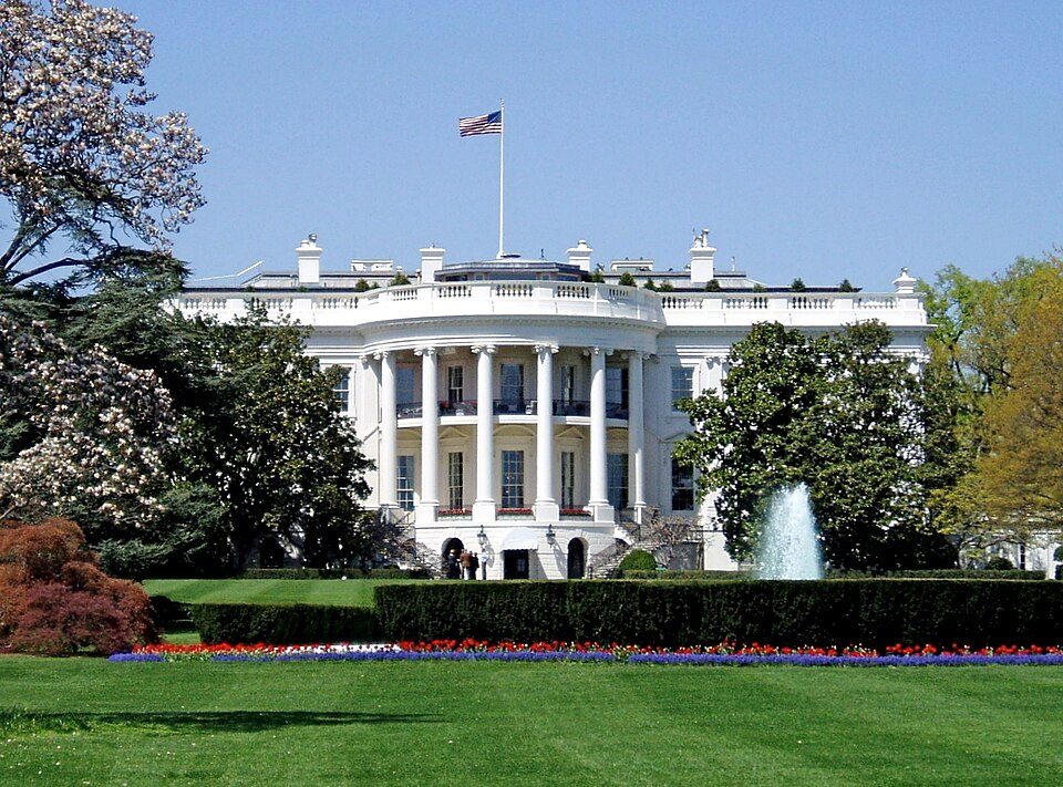 Big draw12 mi National park siteWhite House311K visitors a year
 Big draw22 mi National MemorialWashington Monument204K visitors a year
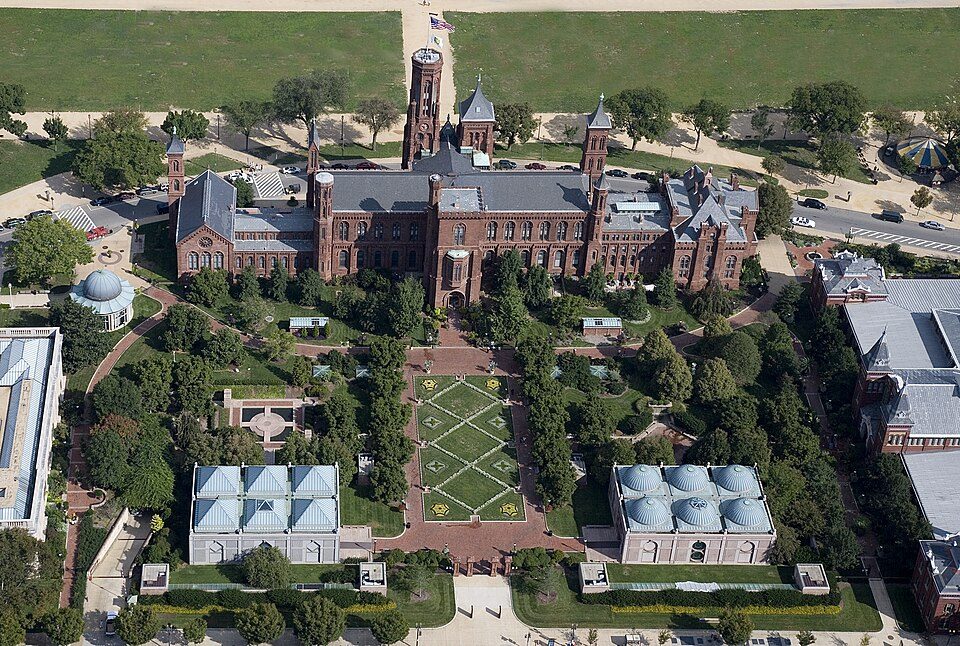 Big draw3in town MuseumSmithsonian Institution30.0M visitors a year
 Big draw44 mi LandmarkArlington National Cemetery
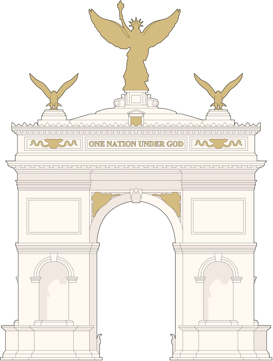 Big draw53 mi LandmarkUnited States Triumphal Arch
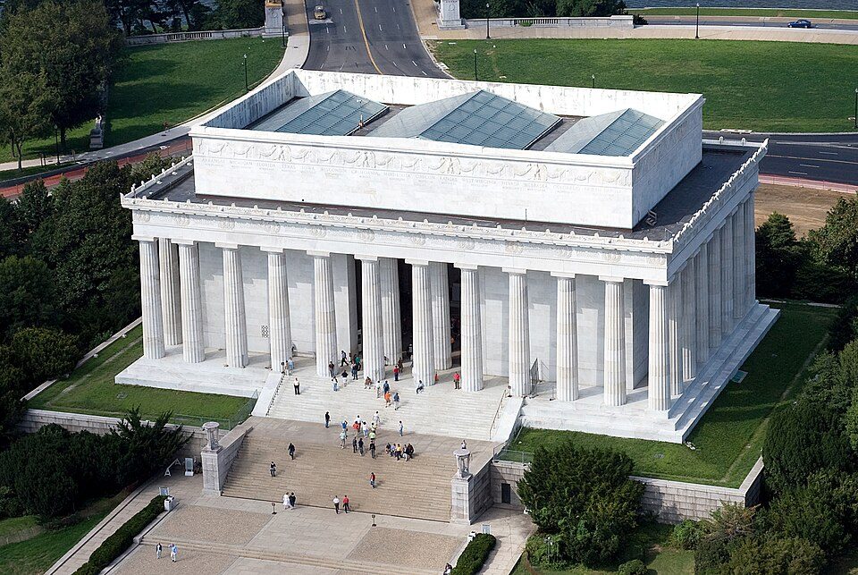 Big draw63 mi National MemorialLincoln Memorial7.7M visitors a year
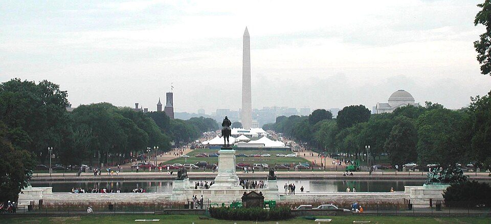 Big draw7in town National park siteNational Mall
 Big draw82 mi National Historic SiteFord's Theatre National Historic Site394K visitors a year
Photo credits
White House: This image or media was taken or created by Matt H. Wade. To see his entire port, CC BY-SA 3.0 · Washington Monument: Oren Rozen, CC BY-SA 4.0 · Smithsonian Institution: Highsmith, Carol M., 1946-, photographer, Public domain · Arlington National Cemetery: Protoant, Public domain · United States Triumphal Arch: Hstoops, CC0 · Lincoln Memorial: Aerial_view_of_Lincoln_Memorial_-_east_side.jpg: Carol M. Highsmith derivative w, Public domain · National Mall: Raul654 at en.wikipedia. Later version(s) were uploaded by Michael Shields at e, CC BY-SA 3.0 · Ford's Theatre National Historic Site: Ingfbruno, CC BY-SA 3.0


Garfield Park, answered
Is Garfield Park in Washington?
Yes. It’s inside Washington, DC.
When is the best time to visit Garfield Park?
April, May, September and October, with highs of 67–80°.
How far is Garfield Park from Baltimore?
About 36 miles northeast of Baltimore, as the crow flies.
What is the closest airport to Garfield Park?
Ronald Reagan Washington National (DCA), about 3 miles away.
Where should I stay near Garfield Park?
Washington (in town, 247 places to stay), Arlington (5 mi, 58 places to stay) and Alexandria (6 mi, 44 places to stay).
Inside knowledge from Washington
Nobody has posted a tip yet; ask or answer in Washington’s Town Square.
Sources: National Park Service · ski areas © OpenSkiMap / OpenStreetMap contributors · Wikidata · Wikipedia readership · NOAA climate normals · U.S. Census.