180 years in pictures
Census counts: 1,744 in 2000, 1,639 in 2020. The archive holds 4 old photos and papers going back to 2018 and 3 maps from 1958 on.
- 1846St. David is established
Each edition grades its towns against each other only.
A town of 1,098, established in 1846.
The best of St. David’s subject grades is an A− for health; the weakest is a D− for hazard risk. St. David’s July high is 97°F, below Arizona’s towns (100°F) but above U.S. towns (85°F). The median household income is $53K, and 9% of residents live below the poverty line. 0.6% of the land in St. David is conserved, against 14% in Arizona’s towns and 4.3% across U.S. towns. On the outdoors, just 1 of Arizona’s 207 towns do worse. St. David has fewer than 2,500 residents, so it gets subject grades but no overall grade.
Where St. David beats most towns, and one thing worth knowing.
In a town this size, neighbors are the best guide. Ask them anything.
Each subject compared with towns across the country (schools within Arizona), ordered by how far St. David is from typical.
St.
How TownRatings grades towns →

Census counts: 1,744 in 2000, 1,639 in 2020. The archive holds 4 old photos and papers going back to 2018 and 3 maps from 1958 on.
St. David is unincorporated, so Cochise County and regional agencies provide most services.
EPA SDWIS (Oct 9, 2026) · HIFLD + EIA-861 2025 · Census 2020 ZCTAs · NCES 2024–25 · registration: vote.gov, updated Sep 12, 2025.
Ordered by what stands out in St. David.
Expected storm and flood damage is higher than in 93% of U.S. communities.
FEMA National Risk Index · OpenFEMA
Its public schools are run by the St David Unified District. Two of its 3 schools are below, each with why it’s listed.
| School | Level | Students | Letter |
|---|---|---|---|
| St David Elementary SchoolLargest public elementary schoolGrades PK–8 | Grades PK–8 | 296 | B+ |
| St David High SchoolLargest public high schoolGrades 9–12 | Grades 9–12 | 137 | A− |
NCES · EDFacts · graded within AZ on state tests and graduation
27% of St. David adults feel lonely. David beats the Arizona average on 12 of 32 CDC measures and trails it on 7. 29% of St. David adults have obesity.
| St. David | Arizona towns | U.S. towns | |
|---|---|---|---|
| Feel lonely (CDC PLACES) | 27% | 31% | 33% |
| Sleep under 7 hours (CDC PLACES) | 32% | 35% | 36% |
| Obesity (CDC PLACES) | 29% | 32% | 35% |
| Get no exercise (CDC PLACES) | 20% | 24% | 25% |
| What stands out | St. David | AZ |
|---|---|---|
| Fewer uninsured adults | 7.1% | 13.2% |
| Fewer adults facing food insecurity | 9.6% | 15.8% |
| More adults who have had cancer | 11.9% | 8.8% |
CDC PLACES 2025 · modeled estimates for adults · CMS · HRSA
Most working residents leave St. Jobs based in St. David fell to 118 in 2023, 44 fewer than in 2013. 3.4% of working residents work locally in St. David.
| St. David | Arizona towns | U.S. towns | |
|---|---|---|---|
| Median household income | $53,000 | $69,000 | $80,000 |
| Working residents who work in town | 3.4% | 10% | 8% |
| Below the poverty line | 9.1% | 12% | 9.6% |
Census LEHD 2023 · ACS
The typical St. Typical home values rose 2.7% in the year to September 2026. David home is worth about $306,000, up 2.7% in a year, 27% below the Arizona typical home.
Zillow Home Value Index · Redfin Data Center
St. David’s January low is 30°F. David has mild winters and hot summers, with very little rain.
NOAA U.S. Climate Normals, 1991–2020
| Biggest places to walk | Trails | Acres |
|---|---|---|
| 1. San Pedro Riparian National Conservation Area | — | 2 |
Trails & parks © OpenStreetMap contributors · Conserved land: USGS PAD-US
Museums, parks, gardens and other places to visit around St. David. Close and well known come first.
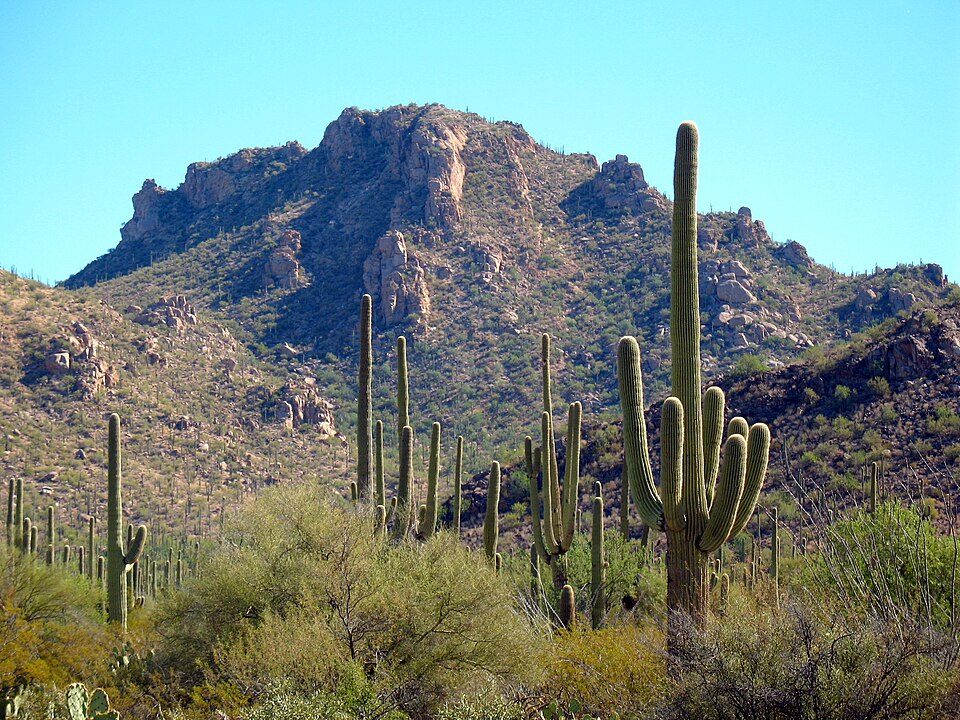
22 mi National ParkSaguaro National Park848K visitors a year
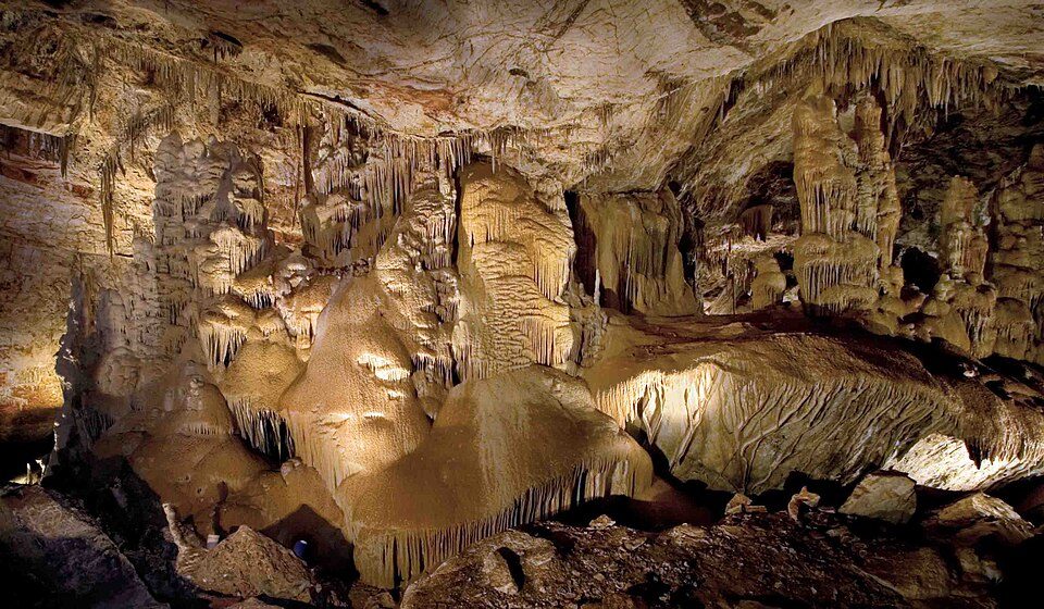
8 mi CaveKartchner Caverns State Park17 mi AttractionThe Thing?
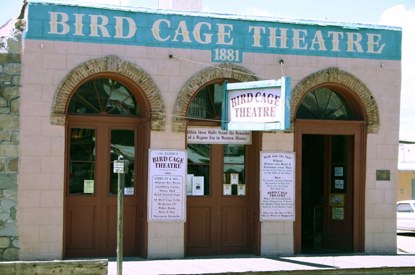
15 mi MuseumBird Cage Theatre
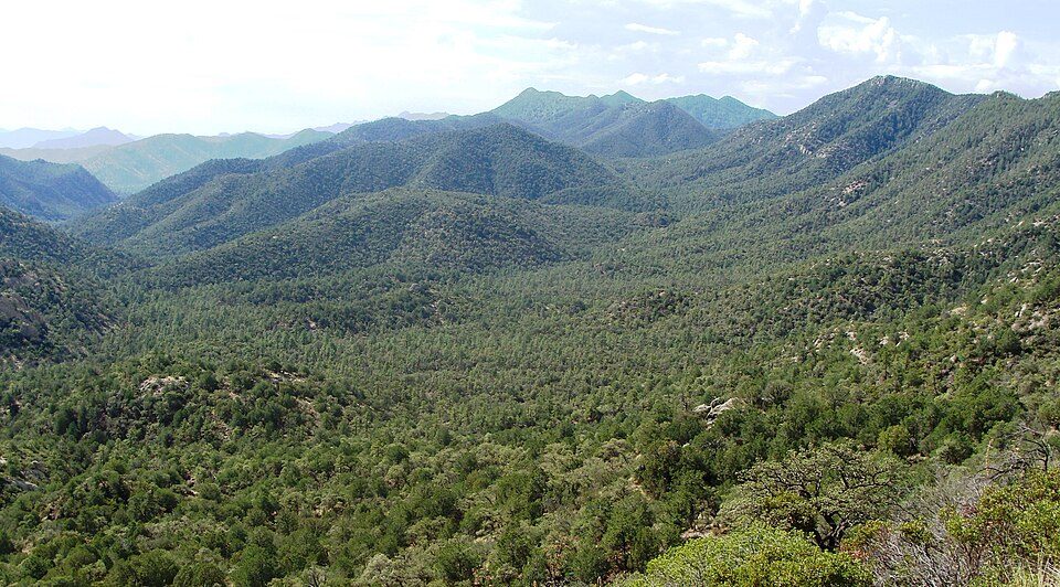
9 mi National forestCoronado National Forest
27 mi MuseumColossal CaveSaguaro National Park: Luke Jones from Yucca Valley, CC BY 2.0 · Kartchner Caverns State Park: Mike Lewis, CC BY-SA 4.0 · Bird Cage Theatre: Hawkeye58, CC BY-SA 3.0 · Coronado National Forest: Zereshk, CC BY-SA 3.0 · Colossal Cave: Bill Morrow, CC BY 2.0
None within 15 miles of St. David; the nearest are
About 4 of every 100 St. David residents are enrolled in college, against 6 across Arizona.
Where St. David’s working residents go each day. Line width shows the share.
Census LEHD 2023
CDP in Cochise County, Arizona
St. David or Saint David is a census-designated place (CDP) in Cochise County, Arizona, United States. The population was 1,699 at the 2010 census.
From Wikipedia, licensed CC BY-SA 4.0 · facts via Wikidata (CC0)
Short answers, built from the data on this page.
That is 5.1 years of the area's median household income ($59,742 across the Sierra Vista-Douglas, AZ metro area). Cost of living, which also weighs rents, property taxes and how many households pay 30% or more of their income for housing, grades B.