
Castle Mountains National Monument
Castle Mountains National Monument is a U.S. National Monument located in the eastern Mojave Desert and northeastern San Bernardino County, in the state of California. Its setting is 14 mi west of Cal-Nev-Ari. It is run by the National Park Service.

A national monument, 14 mi west of Cal-Nev-Ari
Summers are hot
July and August highs run 101–102°, and about 105 days a year reach 90°. When to go ↓
Plan where you’ll sleep
The nearest town with many places to stay is Laughlin, 29 miles east. Where to stay ↓
A day trip from Las Vegas
Las Vegas is about 69 miles north (straight-line). Where to stay ↓
Best months: Feb, Mar, Apr, Oct and Nov
February, March, April, October and November are the mild months, with highs of 63–81°. When to go ↓
Written from NOAA 1991–2020 normals, Overture places to stay, Census town figures, Wikidata and Wikipedia.
The climate here
The weather near Castle Mountains shifts through the year, as below.
Castle Mountains National Monument
Castle Mountains National Monument is a U.S. National Monument located in the eastern Mojave Desert and northeastern San Bernardino County, in the state of California.
The park protects 20,920 acres, located between the interstates I−15 and I−40, and northwest of the Colorado River.
- Type
- National Monument
- Run by
- National Park Service
- Wikipedia readers
- 2.9K a year
- Official site
- nps.gov/camo
When it is open
Where to base yourself for Castle Mountains National Monument
The closest lodging is in Bullhead City (39) and Laughlin (13).
Bullhead City
The closest town with somewhere to stay.
43,987 people
32 mi east of Castle Mountains · 29 mi to the park
Searchlight
246 people · 20% vacation homes
18 mi northeast of Castle Mountains · 11 mi to the park
Compare 6 towns
| Town | From Castle Mountains | Drive | Places to stay | People | Typical home | Safety |
|---|---|---|---|---|---|---|
| Bullhead City | 32 mi east | 50 min | 39 13 hotels · 7 motels · 4 lodges & cabins · 1 campground · 14 RV parks | 43,987 | $212K | C− |
| Laughlin | 29 mi east | 45 min | 13 11 hotels · 2 RV parks | 8,789 | $284K | — |
| Searchlight 20% vacation homes | 18 mi northeast | 25 min | 3 1 hotel · 2 motels | 246 | $143K | — |
| Cal-Nev-Ari | 14 mi east | 20 min | 1 1 motel | 275 | $75K | — |
| Fort Mohave | 35 mi southeast | 50 min | 7 1 hotel · 1 campground · 5 RV parks | 15,715 | $294K | — |
| Katherine 61% vacation homes | 31 mi east | 45 min | 1 1 campground | 159 | $188K | — |
Day trip from
Straight-line miles.
Getting there
Nearest airports with airline service
Combine it with these
Other well-known places within 68 miles.
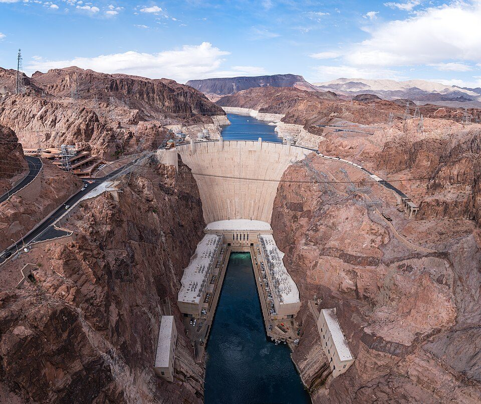 Big draw57 mi DamHoover Dam
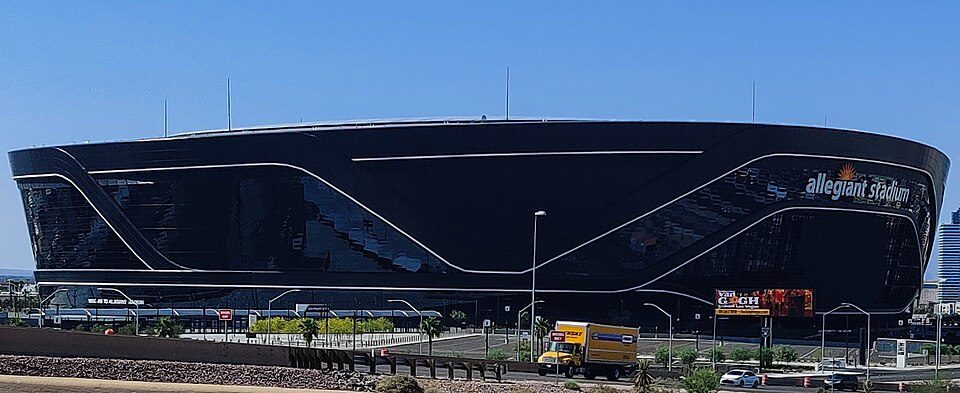 Big draw58 mi Stadium & arenaAllegiant Stadium
 Big draw59 mi Stadium & arenaT-Mobile Arena
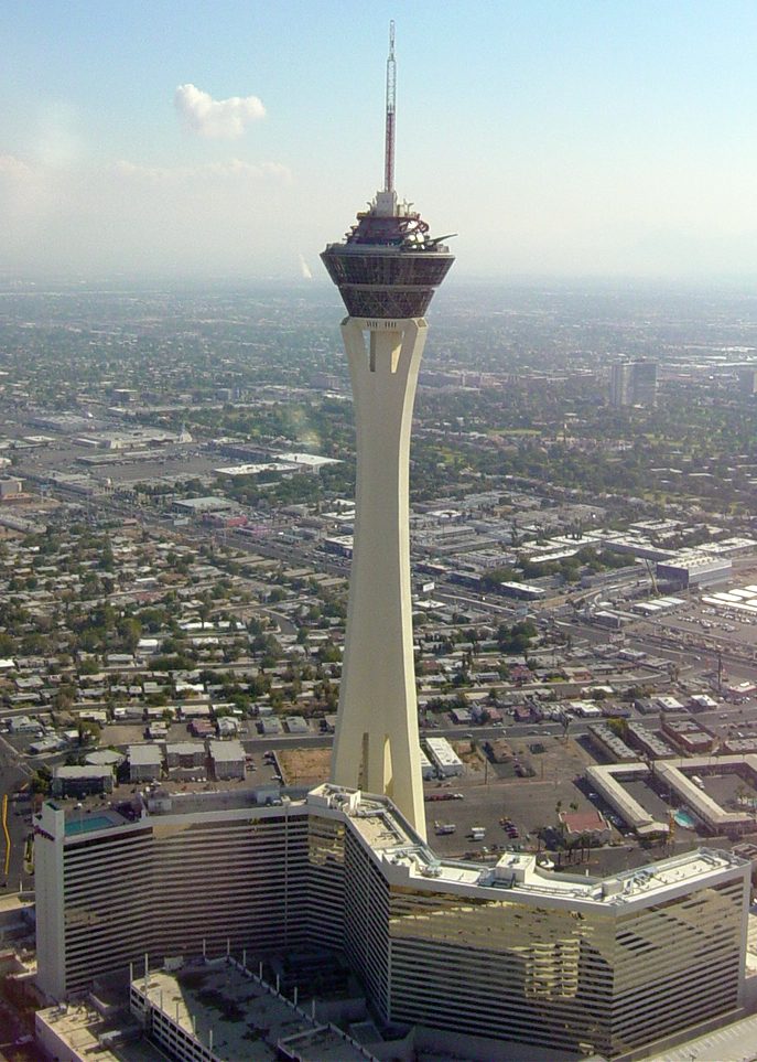 62 mi LookoutThe STRAT Hotel, Casino & SkyPod
 67 mi LakeLake Havasu
 59 mi Stadium & arenaMGM Grand Garden Arena
 58 mi Stadium & arenaSam Boyd Stadium
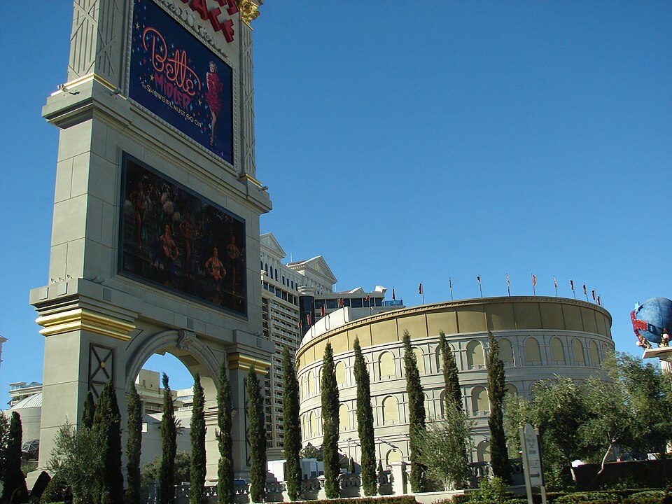 60 mi TheatreThe Colosseum at Caesars Palace
Photo credits
Hoover Dam: Christian David, CC BY-SA 4.0 · Allegiant Stadium: Tomás Del Coro, CC BY-SA 2.0 · T-Mobile Arena: Tomás Del Coro from Las Vegas, Nevada, USA, CC BY-SA 2.0 · The STRAT Hotel, Casino & SkyPod: Original uploader was Timjarrett at en.wikipedia, CC BY-SA 3.0 · Lake Havasu: Doc Searls from Santa Barbara, USA, CC BY-SA 2.0 · MGM Grand Garden Arena: Slargent, CC BY 1.0 · Sam Boyd Stadium: Quintin Soloviev, CC BY 4.0 · The Colosseum at Caesars Palace: Forest & Kim Starr, CC BY 3.0


Your questions on Castle Mountains
What town is Castle Mountains National Monument near?
Cal-Nev-Ari, NV, about 14 miles east.
When is the best time to visit Castle Mountains National Monument?
February, March, April, October and November, with highs of 63–81°.
How far is Castle Mountains National Monument from Henderson and Las Vegas?
About 52 miles north of Henderson and about 69 miles north of Las Vegas, as the crow flies.
What is the closest airport to Castle Mountains National Monument?
Boulder City Municipal (BLD), about 50 miles away. The nearest big hub is Harry Reid (LAS), about 58 miles.
Where should I stay near Castle Mountains National Monument?
Bullhead City (32 mi, 39 places to stay), Laughlin (29 mi, 13 places to stay) and Searchlight (18 mi, 3 places to stay).
Ask people in Cal-Nev-Ari
Questions and tips go in Cal-Nev-Ari’s Town Square.
Sources: National Park Service · ski areas © OpenSkiMap / OpenStreetMap contributors · Wikidata · Wikipedia readership · NOAA climate normals · U.S. Census.