
Arapaho National Forest
Arapaho National Forest is a National Forest located in north-central Colorado, United States. The site is 9 mi southeast of Silver Plume. It goes back to 1908.

A national forest, 9 mi southeast of Silver Plume
Winters are cold
January nights drop to 12°, with about 154" of snow a year. When to go ↓
Georgetown is the nearest base
Georgetown is 9 miles north, with 10 places to stay. Where to stay ↓
A day trip from Denver
Denver is about 42 miles east (straight-line). Where to stay ↓
Established in 1908
Arapaho National Forest dates from 1908. About ↓
Best months: Jul and Aug
July and August are the mild months, with highs of 67–70°. When to go ↓
Written from NOAA 1991–2020 normals, Overture places to stay, Census town figures, Wikidata and Wikipedia.
Warm months and cold ones
A visit to Arapaho National Forest can follow the seasons below.
Arapaho National Forest
Arapaho National Forest is a National Forest located in north-central Colorado, United States. The region is managed jointly with the Roosevelt National Forest and the Pawnee National Grassland from the United States Forest Service office in Fort Collins, Colorado. It has a wildlife refuge which manages a protection for all birds and mammals. The combined facility of 1,730,603 acres (7,004 km2) is denoted as ARP (Arapaho, Roosevelt, Pawnee) by the Forest Service. Separately, Arapaho National Forest consists of 723,744 acres (2,929 km2).
- Type
- National forest
- Established
- 1908
- Area
- 1,132 square miles
- Wikipedia readers
- 7.3K a year
Staying near Arapaho National Forest
The nearest towns with places to stay are Keystone (48) and Breckenridge (83).
Keystone
The closest town with somewhere to stay.
1,274 people · 60% vacation homes
16 mi west of Arapaho National Forest
Compare 8 towns
| Town | From Arapaho National Forest | Drive | Places to stay | People | Typical home | Safety |
|---|---|---|---|---|---|---|
| Keystone 60% vacation homes | 16 mi west | 25 min | 48 35 hotels · 1 inn or B&B · 12 lodges & cabins | 1,274 | $1,285K | — |
| Breckenridge 56% vacation homes | 22 mi west | 35 min | 83 56 hotels · 1 motel · 4 inns & B&Bs · 20 lodges & cabins · 2 hostels | 5,015 | $1,013K | C− |
| Georgetown | 9 mi north | 15 min | 10 3 hotels · 5 inns & B&Bs · 2 lodges & cabins | 1,217 | $522K | — |
| Idaho Springs | 13 mi northeast | 20 min | 14 3 hotels · 5 motels · 1 inn or B&B · 4 lodges & cabins · 1 campground | 1,842 | $447K | D |
| Winter Park 71% vacation homes | 21 mi north | 30 min | 36 26 hotels · 1 motel · 1 inn or B&B · 6 lodges & cabins · 2 campgrounds | 1,217 | $775K | — |
| Lakewood | 29 mi east | 45 min | 47 28 hotels · 16 motels · 1 inn or B&B · 1 lodge or cabins · 1 campground | 156,927 | $574K | D− |
| Dillon 57% vacation homes | 22 mi west | 30 min | 18 11 hotels · 1 inn or B&B · 2 lodges & cabins · 1 hostel · 3 campgrounds | 1,029 | $1,090K | D |
| Frisco 52% vacation homes | 24 mi west | 35 min | 22 14 hotels · 1 motel · 2 inns & B&Bs · 1 lodge or cabins · 4 campgrounds | 2,792 | $891K | — |
Day trip from
Straight-line miles.
Getting there
Nearest airports with airline service
Next door to Arapaho National Forest
Other well-known places within 61 miles.
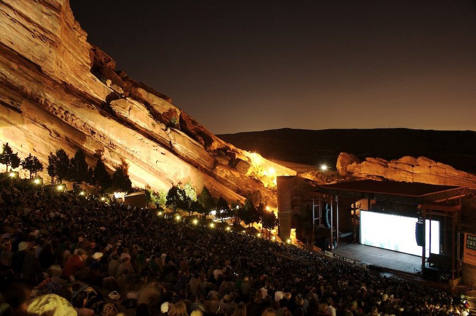 Big draw124 mi TheatreRed Rocks Amphitheatre
 2in town MountainMount Blue Sky
 Big draw61 mi MountainPikes Peak
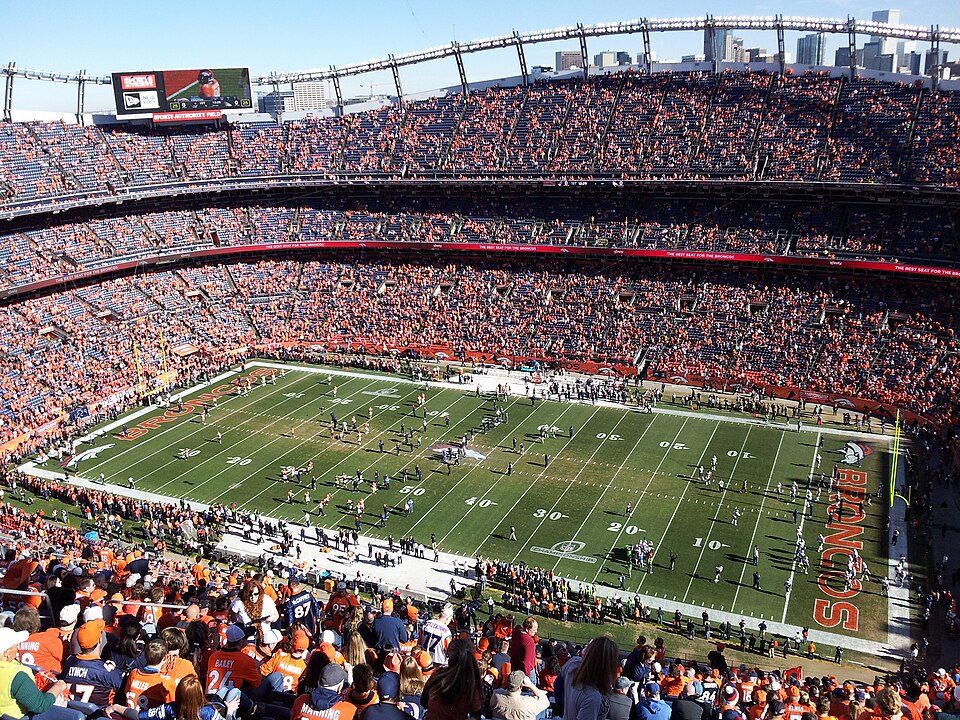 Big draw35 mi Stadium & arenaEmpower Field at Mile High
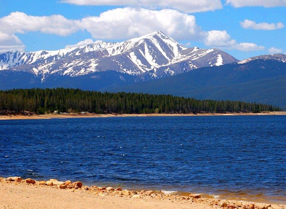 Big draw54 mi MountainMount Elbert
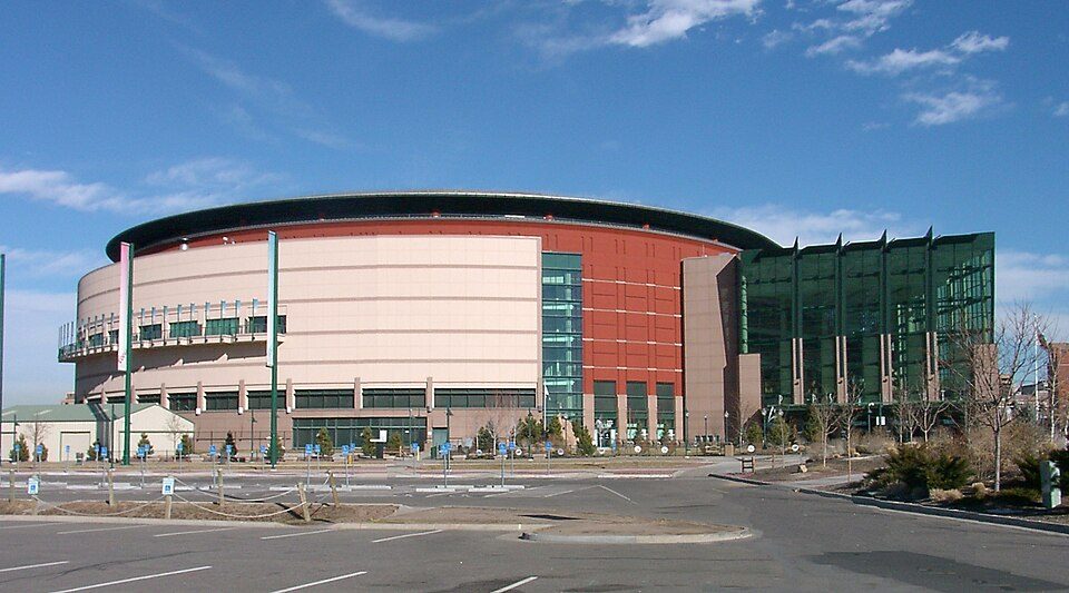 36 mi Stadium & arenaBall Arena
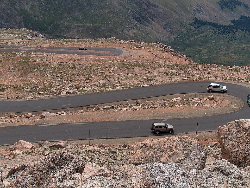 3in town Scenic driveMount Blue Sky Scenic Byway
 36 mi Stadium & arenaCoors Field
Photo credits
Red Rocks Amphitheatre: Unknown, CC BY-SA 3.0 · Mount Blue Sky: Lookinhere, CC BY-SA 3.0 · Pikes Peak: David Shankbone, CC BY-SA 3.0 · Empower Field at Mile High: Thelastcanadian, CC BY-SA 3.0 · Mount Elbert: Hogs555 (talk · contribs), CC BY-SA 4.0 · Ball Arena: KM Newnham, CC BY-SA 2.5 · Mount Blue Sky Scenic Byway: Ken Gallager, Public domain · Coors Field: Matt Kozlowski, CC BY-SA 3.0


Your questions on Arapaho National Forest
What town is Arapaho National Forest near?
Silver Plume, CO, about 9 miles northwest.
When is the best time to visit Arapaho National Forest?
July and August, with highs of 67–70°.
How far is Arapaho National Forest from Denver and Aurora?
About 42 miles east of Denver and about 50 miles east of Aurora, as the crow flies.
What is the closest airport to Arapaho National Forest?
Rocky Mountain Metropolitan (BJC), about 36 miles away. The nearest big hub is Denver (DEN), about 55 miles.
Where should I stay near Arapaho National Forest?
Keystone (16 mi, 48 places to stay), Breckenridge (22 mi, 83 places to stay) and Georgetown (9 mi, 10 places to stay).
What locals in Silver Plume say
People in Silver Plume have not posted tips yet; their Town Square is open.
Sources: National Park Service · ski areas © OpenSkiMap / OpenStreetMap contributors · Wikidata · Wikipedia readership · NOAA climate normals · U.S. Census.