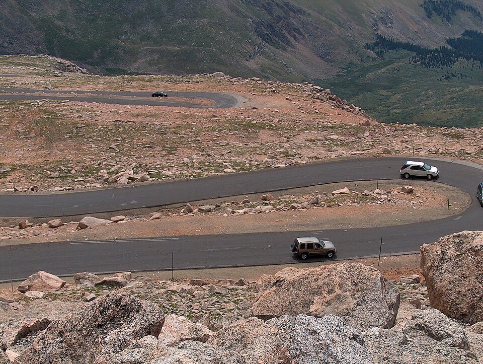
Mount Blue Sky Scenic Byway
The Mount Blue Sky Scenic Byway is a 49-mile (79 km) National Forest Scenic Byway and Colorado Scenic and Historic Byway located in Clear Creek and Jefferson counties, Colorado, United States. Find it 9 mi southeast of Silver Plume. For a second stop, Red Rocks Amphitheatre is 24 mi away.

A scenic drive, 9 mi southeast of Silver Plume
Winters are cold
January nights drop to 12°, with about 154" of snow a year. When to go ↓
Georgetown is the nearest base
Georgetown is 9 miles north, with 10 places to stay. Where to stay ↓
A day trip from Denver
Denver is about 42 miles east (straight-line). Where to stay ↓
Best months: Jul and Aug
July and August are the mild months, with highs of 67–70°. When to go ↓
Written from NOAA 1991–2020 normals, Overture places to stay, Census town figures and Wikipedia.
When to go
Every month near Mount Blue Sky Scenic Byway is set out below.
Mount Blue Sky Scenic Byway
The Mount Blue Sky Scenic Byway is a 49-mile (79 km) National Forest Scenic Byway and Colorado Scenic and Historic Byway located in Clear Creek and Jefferson counties, Colorado, United States. The byway ascends to 14,140 feet (4,310 m) of elevation near the 14,271-foot (4,350 m) summit of Mount Blue Sky, making it the highest paved road in North America (beating the 14,115-foot (4,302 m) Pikes Peak Highway by only 25 feet (8 m).) The byway visits Echo Lake Park, the Mount Goliath Natural Area, the Dos Chappell Nature Center, and Summit Lake Park on its way to the summit. A fee is charged to travel State Highway 5 to the summit and vehicles over 30 feet (9.1 m) long are not allowed, although they are allowed on State Highway 103 which reaches its highest elevation of 11,020 feet (3,359 m) at Juniper Pass.
The byway connects to the Lariat Loop Scenic and Historic Byway at Bergen Park.
- Type
- Scenic drive
- Wikipedia readers
- 13K a year
Bases for Mount Blue Sky Scenic Byway
The closest towns with hotels, motels or campgrounds are Keystone (48) and Breckenridge (83).
Keystone
The closest town with somewhere to stay.
1,274 people · 60% vacation homes
16 mi west of Mount Blue Sky Scenic Byway
Compare 8 towns
| Town | From Mount Blue Sky Scenic Byway | Drive | Places to stay | People | Typical home | Safety |
|---|---|---|---|---|---|---|
| Keystone 60% vacation homes | 16 mi west | 25 min | 48 35 hotels · 1 inn or B&B · 12 lodges & cabins | 1,274 | $1,285K | — |
| Breckenridge 56% vacation homes | 22 mi west | 35 min | 83 56 hotels · 1 motel · 4 inns & B&Bs · 20 lodges & cabins · 2 hostels | 5,015 | $1,013K | C− |
| Georgetown | 9 mi north | 15 min | 10 3 hotels · 5 inns & B&Bs · 2 lodges & cabins | 1,217 | $522K | — |
| Idaho Springs | 13 mi northeast | 20 min | 14 3 hotels · 5 motels · 1 inn or B&B · 4 lodges & cabins · 1 campground | 1,842 | $447K | D |
| Winter Park 71% vacation homes | 21 mi north | 30 min | 36 26 hotels · 1 motel · 1 inn or B&B · 6 lodges & cabins · 2 campgrounds | 1,217 | $775K | — |
| Lakewood | 29 mi east | 45 min | 47 28 hotels · 16 motels · 1 inn or B&B · 1 lodge or cabins · 1 campground | 156,927 | $574K | D− |
| Dillon 57% vacation homes | 22 mi west | 35 min | 18 11 hotels · 1 inn or B&B · 2 lodges & cabins · 1 hostel · 3 campgrounds | 1,029 | $1,090K | D |
| Frisco 52% vacation homes | 24 mi west | 35 min | 22 14 hotels · 1 motel · 2 inns & B&Bs · 1 lodge or cabins · 4 campgrounds | 2,792 | $891K | — |
Day trip from
Straight-line miles.
Getting there
Nearest airports with airline service
What else is near Mount Blue Sky Scenic Byway
Every place here is under 61 miles away.
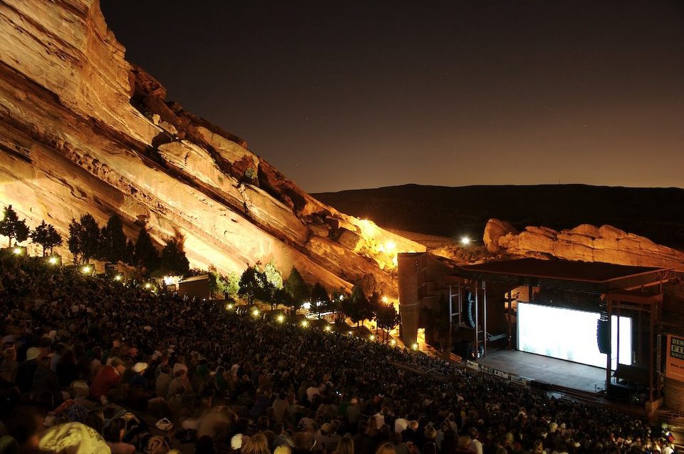 Big draw124 mi TheatreRed Rocks Amphitheatre
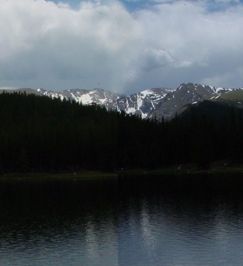 2in town MountainMount Blue Sky
 Big draw61 mi MountainPikes Peak
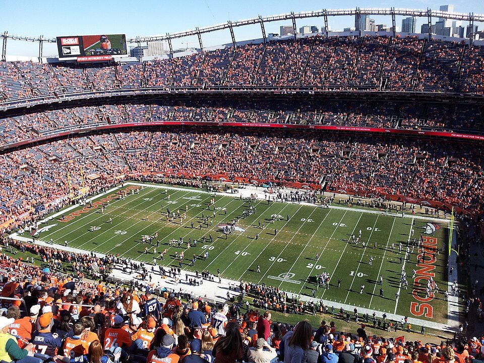 Big draw35 mi Stadium & arenaEmpower Field at Mile High
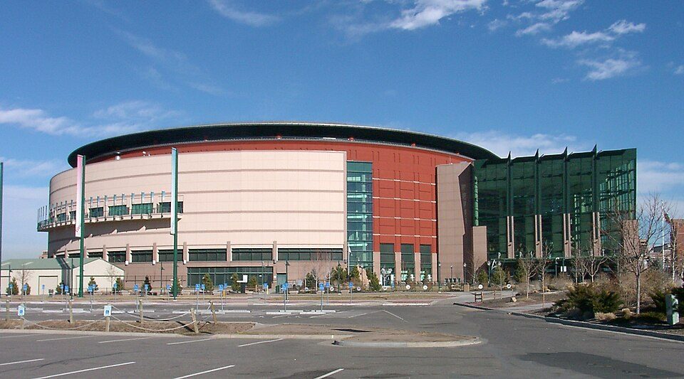 35 mi Stadium & arenaBall Arena
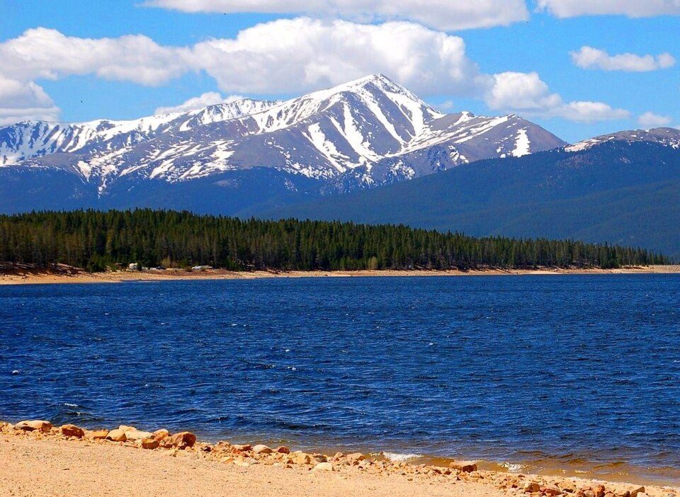 Big draw54 mi MountainMount Elbert
 36 mi Stadium & arenaCoors Field
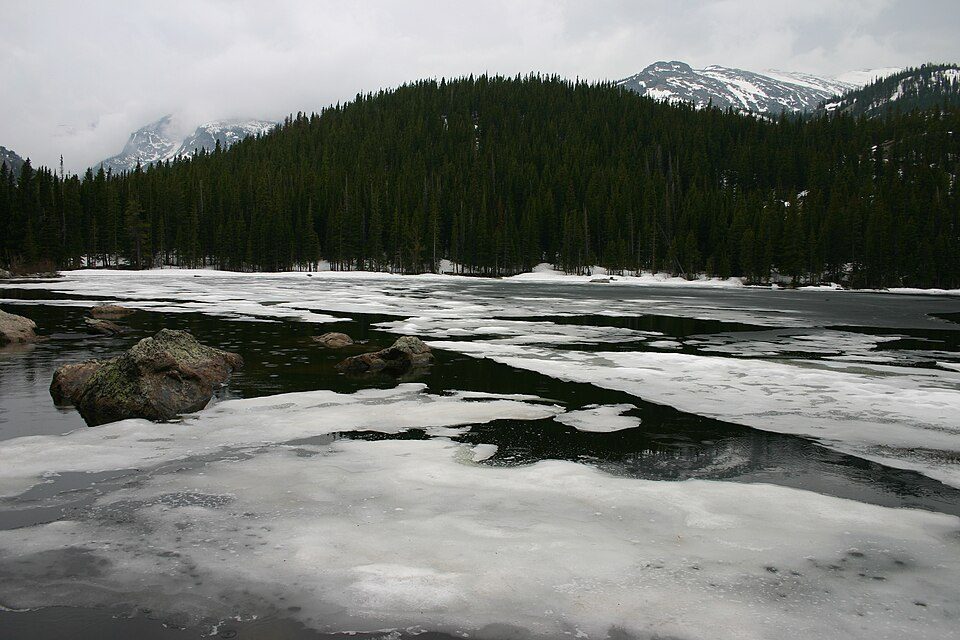 53 mi National ParkRocky Mountain National Park4.2M visitors a year
Photo credits
Red Rocks Amphitheatre: Unknown, CC BY-SA 3.0 · Mount Blue Sky: Lookinhere, CC BY-SA 3.0 · Pikes Peak: David Shankbone, CC BY-SA 3.0 · Empower Field at Mile High: Thelastcanadian, CC BY-SA 3.0 · Ball Arena: KM Newnham, CC BY-SA 2.5 · Mount Elbert: Hogs555 (talk · contribs), CC BY-SA 4.0 · Coors Field: Matt Kozlowski, CC BY-SA 3.0 · Rocky Mountain National Park: Charles M. Sauer -- Charlessauer, CC BY-SA 3.0


Good to know about Mount Blue Sky Scenic Byway
What town is Mount Blue Sky Scenic Byway near?
Silver Plume, CO, about 9 miles northwest.
When is the best time to visit Mount Blue Sky Scenic Byway?
July and August, with highs of 67–70°.
How far is Mount Blue Sky Scenic Byway from Denver and Aurora?
About 42 miles east of Denver and about 50 miles east of Aurora, as the crow flies.
What is the closest airport to Mount Blue Sky Scenic Byway?
Rocky Mountain Metropolitan (BJC), about 35 miles away. The nearest big hub is Denver (DEN), about 55 miles.
Where should I stay near Mount Blue Sky Scenic Byway?
Keystone (16 mi, 48 places to stay), Breckenridge (22 mi, 83 places to stay) and Georgetown (9 mi, 10 places to stay).
Advice from Silver Plume
Tips will appear here once someone posts in Silver Plume’s Town Square.
Sources: National Park Service · ski areas © OpenSkiMap / OpenStreetMap contributors · Wikidata · Wikipedia readership · NOAA climate normals · U.S. Census.