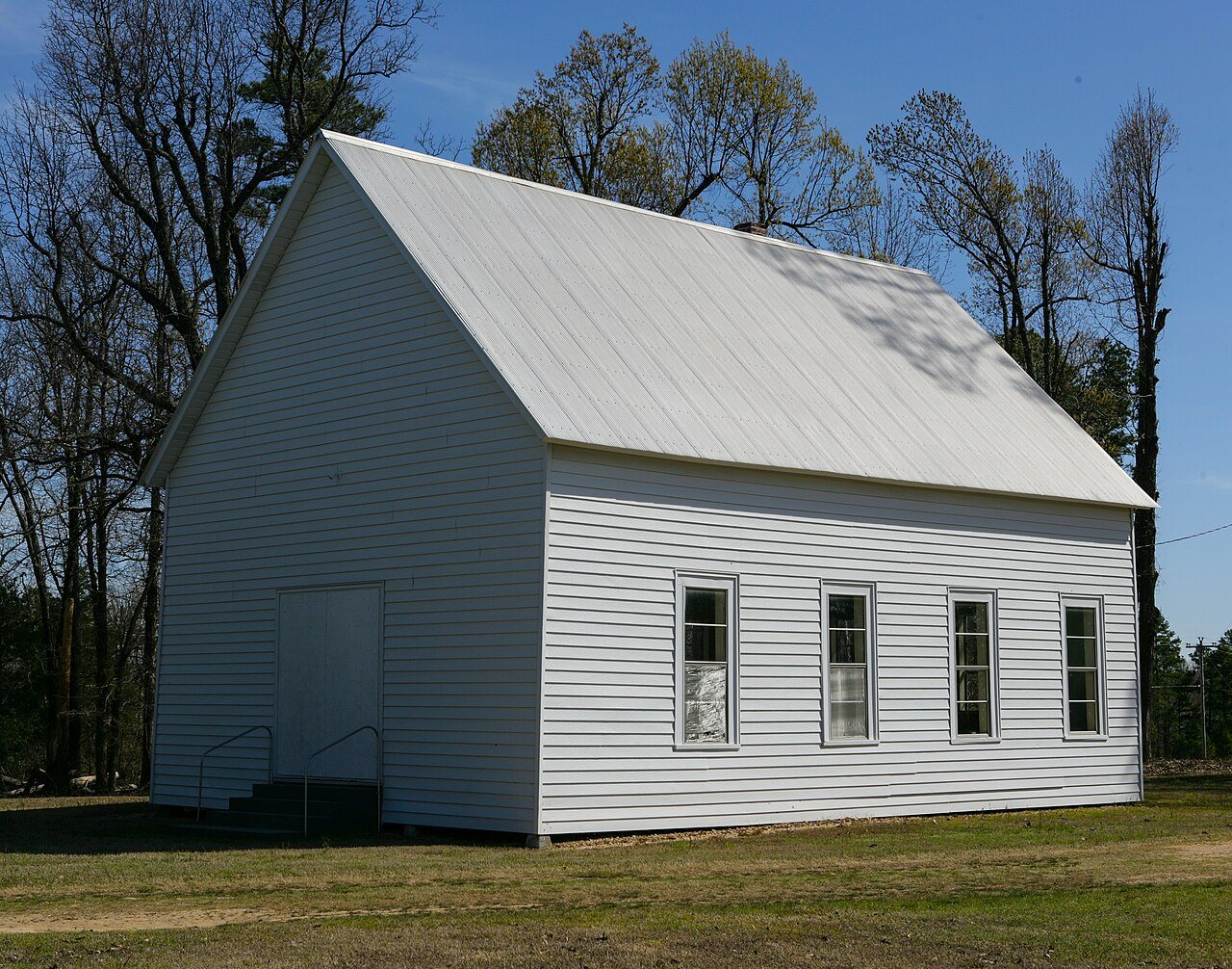
 Old Bethel Methodist Church · Photo: Colinhester · CC BY-SA 3.0
Living in Walcott, AR: what to set up and who to call
Walcott has no town government of its own, so Greene County runs its elections and most services, and its children attend Greene County Technical School District. Tap water in Walcott comes from the Western Greene County R W D water system, which has a clean five-year EPA record (about 20% of systems its size had a health-based violation) and a latest lead result of 1.0 ppb.
I’m new in town
What to set up in Walcott, and who provides it. Tap an answer for the details and where they come from.
Power, water and internet
Who to call to start service at a new address in Walcott.
Power comes from Entergy Arkansas
Entergy Arkansas (Entergy Arkansas LLC), an investor-owned utility, serves all of Walcott. Its homes paid an average of 13.4¢ per kWh in 2025, about $145 a month (its average across Arkansas).
Service territory: HIFLD Electric Retail Service Territories (map dated Aug 2023). Prices and customers: EIA-861, 2025.
Water comes from Western Greene County R W D water system
The Western Greene County R W D water system supplies almost all of Walcott. It draws ground water and serves 7,095 people in all.
No health-based violations reported to EPA in the five years to October 2026, like 80% of the 5,012 systems serving 3,301–10,000 people.
The latest lead result on file, the 90th percentile of homes sampled in Jan 2023–Dec 2025, was 1.0 ppb, below the 15 ppb action level that applied. The highest in five years was 3.0 ppb. That’s lower than 57% of similar systems’ latest results.
The system’s full record: EPA ECHO report
EPA SDWIS via Envirofacts (violations pulled Oct 9, 2026) and ECHO (lead samples, 2026Q3); service area: EPA Community Water System Service Area Boundaries v3.0. Violations are counted by the start of their compliance period. AR0000704.
4 home internet providers serve Walcott
100% of 87 addresses can get 100/20 Mbps; 100% can get fiber.
| Provider | Technology | Addresses | Fastest (Mbps) |
|---|---|---|---|
| empower, delivered by CECC | Fiber | 100% | 1,000/1,000 |
| AT&T | Fixed wireless, DSL | 11% | 100/20 |
| T-Mobile | Fixed wireless | 36% | 25/3 |
| Verizon | Fixed wireless | 9% | 300/20 |
FCC National Broadband Map, as of December 2025. Availability as providers report it, not speeds people get.
We don’t have Walcott’s trash rules yet
Pickup rules, the dump and recycling in Walcott.
Where your child goes to school
Public school districts and the school path by grade.
Walcott is in Greene County Technical School District.
Test scores and every school: see Schools →U.S. Department of Education, NCES Common Core of Data, 2024–25. Enrollment rules and registration are the district’s.
No town hall: the county runs things
Walcott is unincorporated, so Greene County is the local government.
Election office: FVAP local election office directory, updated Aug 2015; jurisdictions: EAC EAVS 2024. Registration rules and links: vote.gov, updated Nov 18, 2024.
Walcott is in ZIP code 72450
ZIP codes where Walcott residents live, with the share of the town in each.
| ZIP | Post office name | Share of Walcott | ZIP’s residents in Walcott |
|---|---|---|---|
| 72450 | Paragould, AR | 100% | 0% |
72474 is P.O. box or single-organization ZIP with no homes.
Census 2020 ZIP Code Tabulation Areas, by census block; post office names: GeoNames (CC BY 4.0). ZIPs created since 2020 are missing.
Getting around, the ER and the library
One line each; the subject pages have the rest.
ER: CMS hospital data. Library: IMLS Public Libraries Survey, FY2024.
Questions about living in Walcott
Who supplies Walcott’s drinking water, and has it had violations?
The Western Greene County R W D water system (EPA ID AR0000704). It reported no health-based violations to EPA in the five years to October 2026; 80% of systems its size had none. Its latest lead 90th percentile was 1.0 ppb (Jan 2023–Dec 2025), against a 15 ppb action level.
Who provides electricity in Walcott?
Entergy Arkansas (Entergy Arkansas LLC), an investor-owned utility. Its homes paid about 13.4¢ per kWh in 2025 (EIA).
What internet providers serve Walcott?
empower, delivered by CECC, AT&T, T-Mobile, Verizon (FCC, as of December 2025).
What ZIP codes are in Walcott?
72450. Census 2020 ZIP Code Tabulation Areas.
What school district is Walcott in?
Greene County Technical School District.
How do I register to vote in Walcott?
Arkansas has no online registration; you can register in person until 30 days before Election Day or by mail (postmarked 30 days before). Elections here are run by the Greene County Clerk. Check your registration at voterview.ar-nova.org.
Sources & dates
Every answer above names its source. Here they are with their dates.
- Water: EPA SDWIS (Envirofacts, pulled Oct 9, 2026), ECHO SDWA 2026Q3, EPA CWS Service Area Boundaries v3.0.
- Power: HIFLD Electric Retail Service Territories (map Aug 2023); EIA-861 final 2025.
- Trash: OpenStreetMap, Geofabrik extract of Oct 9, 2026. © OpenStreetMap contributors (ODbL).
- ZIP codes: Census 2020 ZCTA relationship files; GeoNames postal codes (CC BY 4.0).
- Schools: NCES Common Core of Data, 2024–25.
- Registration: vote.gov, updated Nov 18, 2024 (read Oct 10, 2026). Official sites and area codes: Wikidata.
- Election office: FVAP local election office directory (fetched Oct 10, 2026; each record dated), EAC EAVS 2024 jurisdictions; registration and lookup links from vote.gov’s state data, checked Oct 10, 2026.
- Internet: FCC National Broadband Map, as of December 2025.