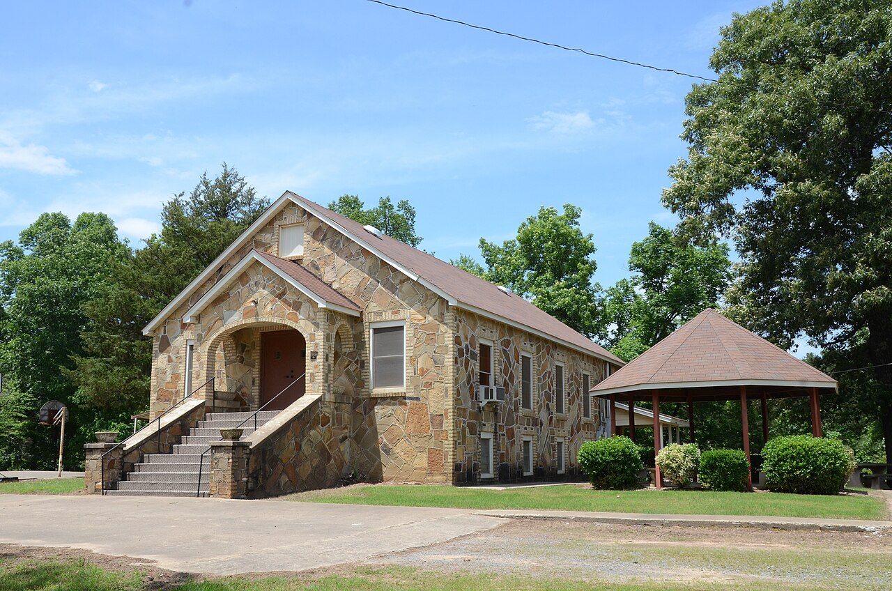
 Mellettown United Methodist Church · Photo: Valis55 · CC BY-SA 3.0
Precipitation in Springfield tops that of 88% of U.S. towns: 52 inches a year
Midwinter brings lows of about 30°. In July, afternoons here are warmer than in 87% of U.S. towns. Since 1901–2000, the year has warmed by 0.7°, most of all in December. The outdoor season runs from March to May and October, with highs of 64–80°.
A year in Springfield at a glance
Each month’s typical high and low, and what it brings.
What stands out about Springfield’s climate
Compared with towns across the U.S., with Springfield’s place in Arkansas beside it.
What a year in Springfield feels like
Typical highs and lows by season and by month, from NOAA’s 30-year normals.
About 215 frost-free days a year
In half of years the last 32° night comes by April 2 and the first by November 2. Frost and day counts come from NOAA’s station at Conway, AR, 12 miles from the town’s center, 140 ft lower.
The 2023 USDA map puts Springfield’s center in zone 8a: the coldest night of a typical winter, averaged over 1991–2020, reaches about 10°. Plant labels use the zone; frost dates tell you when to plant.
Freezing nights by month
Average nights at or below 32°
90° days by month
Average days at 90° or more
About 4 inches of snow a winter
Snow, measured at Center Ridge 3 S, AR, falls mostly in February. Precipitation (rain plus melted snow) adds up to 52 inches a year; May is the wettest month and June the driest. Rain or snow falls on about 97 days a year.
Rain + melted snow by month
Inches of water
Snowfall by month
Inches of snow
Heating and cooling a home in Springfield
67% of the work is heating. Months averaging under 55° run from November through March.
Degree days add up how far each day’s average falls below (heating) or rises above (cooling) 65° over a year. NOAA normals at Conway, AR.
Living with Springfield’s climate
What the numbers mean for a garden, a free afternoon and a bad-weather day.
215 frost-free days in zone 8a. The last frost comes by Apr 2 in half of years, so many gardeners wait a week or two past that to set out tomatoes. The first fall frost comes by Nov 2.
Months with highs of 62–84° and lows of 40° or more: March, April, May and October.
Parks & trails →Of the yearly building losses FEMA expects in Springfield from natural hazards, river flooding is the largest share (30%); heat waves, cold waves, winter storms and ice storms together are 18%. Normals are averages; the hazards page covers the extremes.
Natural hazards →Springfield and similar climates
TownRatings has no climate map of the towns around Springfield yet.
Climates most like Springfield’s, farther away
TownRatings’ own comparison of NOAA 1991–2020 normals, not a NOAA product: places of 5,000+ at least 150 miles away, one per state, closest on January low, July high, precipitation and snow.
| Town | Jan. low | July high | Precip. | Snow |
|---|---|---|---|---|
| Springfield, AR | 30° | 92° | 52" | 4.4" |
| Idabel, OK | 32° | 93° | 53" | 2.0" |
| Kennett, MO | 29° | 90° | 51" | 2.9" |
| Nashville, TN | 29° | 90° | 52" | 4.7" |
| Clayton, NC | 31° | 90° | 49" | 3.2" |
Temperatures and precipitation come from NOAA’s 5 km grid; snow and day counts from the stations named on this page.
Warmer than it used to be
The last 30 years in Springfield averaged 0.7° warmer than the 1900s. The biggest change is in December (+1.2°).
A smaller shift than in 94% of U.S. towns.
Change by month
The two periods overlap (1991–2000 is in both), which makes the gap a little smaller than it would be between separate periods.
How Springfield compares
Against 12,954 U.S. towns of 2,500 or more (one per 5 km climate cell), with Springfield’s place among Arkansas’.
Springfield weather by month
Highs, lows and precipitation from NOAA’s grid at Springfield’s center; snow, wet days and snow on the ground from Center Ridge 3 S, AR. 1991–2020 normals.
| Month | High | Low | Rain + melt | Snow | Wet days | Snow on ground | 30-yr range |
|---|---|---|---|---|---|---|---|
| January | 50° | 30° | 3.7" | 0.9" | 8 | 1 | 35° – 46° |
| February | 55° | 33° | 3.8" | 1.8" | 9 | 2 | 36° – 52° |
| March | 64° | 40° | 5.2" | 1.0" | 10 | 1 | 46° – 62° |
| April | 73° | 49° | 5.3" | 0.0" | 9 | 0 | 55° – 66° |
| May | 80° | 58° | 5.5" | 0.0" | 10 | 0 | 66° – 75° |
| June | 88° | 66° | 3.5" | 0.0" | 7 | 0 | 72° – 82° |
| July | 92° | 70° | 3.8" | 0.0" | 8 | 0 | 76° – 87° |
| August | 91° | 69° | 3.8" | 0.0" | 7 | 0 | 74° – 85° |
| September | 85° | 61° | 3.7" | 0.0" | 6 | 0 | 69° – 80° |
| October | 74° | 49° | 4.1" | 0.0" | 8 | 0 | 57° – 67° |
| November | 62° | 40° | 5.0" | 0.1" | 8 | 0 | 45° – 55° |
| December | 52° | 32° | 4.6" | 0.6" | 8 | 1 | 31° – 49° |
| Year | 72° | 50° | 51.9" | 4.4" | 97 | 4 |
How much a month can swing
A normal is an average. December swings the most: from 1991 to 2020 its average ranged from 31° to 49°. May is the most reliable, staying within 9°.
Where Springfield’s numbers come from
Normals are 30-year averages, not a forecast. How TownRatings reads climate data →
- Temperatures and precipitation: NOAA’s gridded 1991–2020 normals for the 5 km cell at Springfield’s center.
- Snow: Center Ridge 3 S, AR.
- Frost, freezing nights, 90° and 100° days, heating and cooling: Conway, AR, 12 miles from the town’s center, 140 ft lower; the nearest station that passes our checks for distance, height and agreement with the grid.
- Growing zone: USDA Plant Hardiness Zone Map, 2023. USDA Agricultural Research Service and PRISM Group, Oregon State University, prism.oregonstate.edu/phzm, accessed 8 Oct 2026.
- Then and now: NOAA’s gridded normals for 1901–2000 at the same cell.
- Storms and extremes: FEMA National Risk Index (expected annual losses to buildings).
Common questions about Springfield’s climate
What is the weather like in Springfield?
A typical July afternoon reaches 92°, a January night drops to 30°, and about 4 inches of snow falls in a normal winter. Milder January nights than 72% of U.S. towns; hotter July afternoons than 87% of U.S. towns.
How cold does it get in Springfield in winter?
January nights average 30°. About 66 nights a year reach 32° or below. In the coldest January of the last 30 years the month averaged 35°.
How much snow does Springfield get?
About 4.4 inches in a normal winter at Center Ridge 3 S, AR, most of it in February, with snow on the ground about 4 days a year.
How hot does it get in Springfield?
July, with a typical high of 92° and a low of 70°. About 70 days a year reach 90° and 6 reach 100° (Conway, AR).
When is the first and last frost in Springfield?
In half of years the last spring frost (32°) comes by April 2 and the first fall frost by November 2, about 215 frost-free days, at Conway, AR.
What growing zone is Springfield in?
Zone 8a on the 2023 USDA Plant Hardiness Zone Map: the coldest night of a typical winter reaches about 10°.
What is the best time of year to visit Springfield?
By one simple rule (highs of 62–84° and lows of 40° or more), March, April, May and October. The rule is ours, not NOAA’s; the month table has the numbers to judge by.
Is Springfield getting warmer?
Yes: 1991–2020 averaged 0.7° warmer than 1901–2000 on NOAA’s grid. A smaller shift than 94% of U.S. towns.
Neighbors talk weather
Gardens, snow, and the best days of the year in Springfield.
Source: NOAA NCEI U.S. Climate Normals, 1991–2020 and 1901–2000; USDA/PRISM 2023 hardiness zones; FEMA National Risk Index. Today’s forecast: National Weather Service.