Buffalo National River
National river in northern Arkansas, USA.
Each edition grades its towns against each other only.

Buffalo National River sees about 1.4M visitors a year. No place to visit is mapped inside Horseshoe Bend; 3 are within 40 miles. The mix takes in a national river, a cave and a museum. A drive of 57 mi brings you to Ozark National Scenic Riverways.
National river in northern Arkansas, USA.
The towns around it, and where to stay →
Furthest out is Buffalo National River, at 37 mi.
Orange: Horseshoe Bend. Numbers: the best-known places, matching the list below. © OpenStreetMap contributors
These 6 are all within 60 miles.
National river in northern Arkansas, USA.
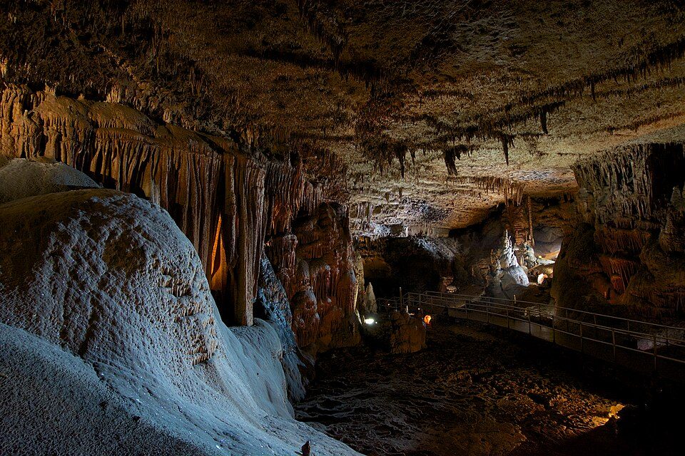
Cave system in Stone County, Arkansas, United States of America.
Ranked by how many people look them up, so the famous places lead and the local favorites follow.
Parks and trails in Horseshoe Bend →
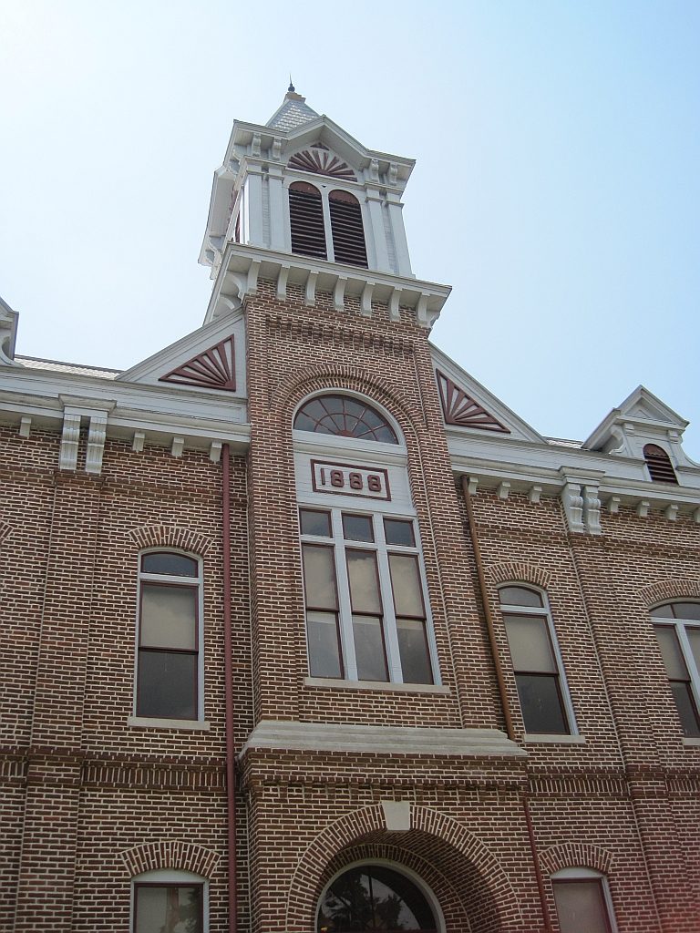
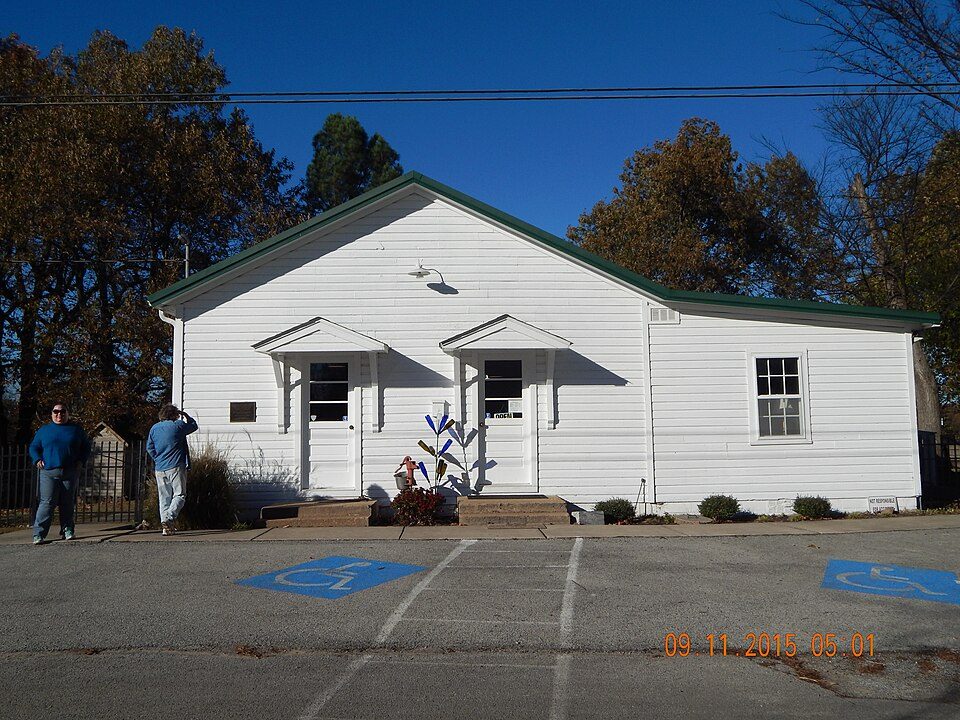
Buffalo National River: Mattsrealm, CC BY-SA 4.0 · Blanchard Springs Caverns: Eric Hunt, CC BY-SA 4.0 · Jacksonport State Park: Jma661, CC BY-SA 3.0 · Powhatan Historic State Park: Thomas R Machnitzki ([email protected]), CC BY 3.0 · Eddie Mae Herron Center & Museum: Asimov72455, CC BY-SA 3.0
 2
 4
 5
 6


