Thomaston was platted in 1901 when the railroad was extended to that point. Thomaston was named for C. B. Thomas, a town promoter. A post office called Thomaston has been in operation since 1892. It was incorporated on November 15, 1901.
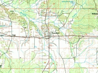
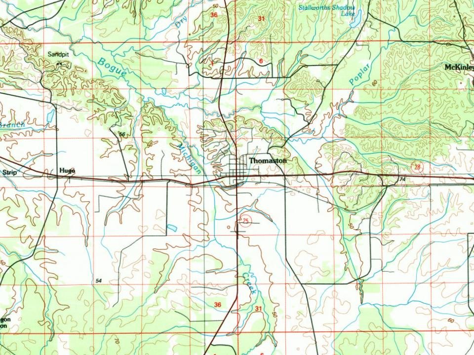
U.S. Geological Survey historical topographic maps (public domain), via Esri’s collection of the scans. The red ring marks the center of Thomaston.
Every building
Thomaston, building by building, 1925
Fire insurance maps drew every building, what it was made of and what it was used for, so insurers could price the risk of fire. Pick a year, then a sheet.
1925Sheet 1 of 1
Edition
Sheets
BrickWoodStone
Sanborn Map Company, via the Library of Congress. Editions published in 1930 or earlier, which are in the public domain.
Places that used to be
Old corners and places now gone
Thomaston’s post office has been open since 1892.
Hamlets and corners on the map
Old White Hall
Gone or out of use
Thomaston Colored Instituteschool
US Post Offices dataset (Blevins & Helbock, CC0). Places and cemeteries from the USGS Geographic Names Information System (2021).
Questions about Thomaston’s history
What year was Thomaston founded?
The Thomaston post office opened in 1892, the earliest record of the town by name (U.S. post office records).
What is on the National Register in Thomaston?
4 listings: 3 buildings, among them the C.S. Golden House (listed 2000, the first), and 1 historic district, the Thomaston Central Historic District, with 74 contributing buildings. 78 historic buildings in all.
Founding dates: Wikidata, Wikipedia, the U.S. post office records of Blevins & Helbock (CC0) and the Census. Homes by year built: Census ACS 2020–24. National Register of Historic Places: National Park Service (list of May 22, 2026). Old photos, postcards and papers: Wikimedia Commons, the Library of Congress and other public archives, credited on each item’s page. Maps: U.S. Geological Survey historical topographic maps (via Esri) and Sanborn fire-insurance maps (Library of Congress). History text and census tables: Wikipedia (CC BY-SA 4.0). Places that used to be: USGS Geographic Names Information System (2021). How TownRatings grades history →
From the National Register of Historic Places (4), Wikipedia, U.S. Geological Survey historical maps, U.S. Census counts (via Wikipedia), the US Post Offices dataset (Blevins & Helbock), the USGS Geographic Names Information System and Sanborn fire insurance maps (Library of Congress). Archive images are copied here with their credits and licenses, shown on each photo’s page. Refreshed monthly.