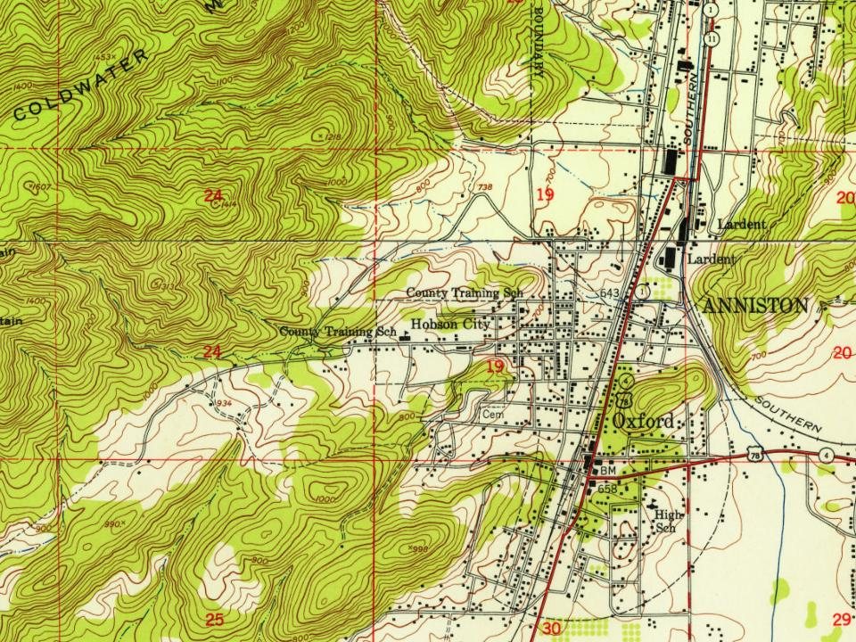
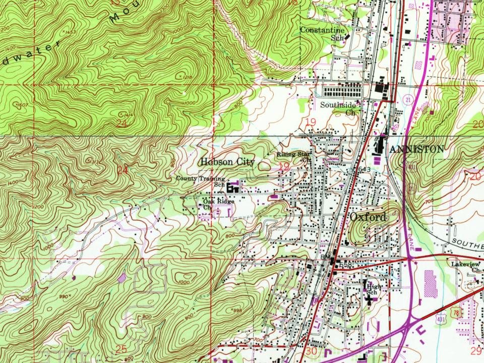
Most of Hobson City was built recently: 7% of its homes predate 1940 and the median home dates from 1974. Below: maps from 1947 on and the census since 1900.
The town of Hobson City, originally known as Mooree Quarters, is a historic Black community near Oxford, Alabama. Established shortly after the Civil War, the settlement was named after Silas Moore, a formerly enslaved man who became a prominent landowner and community leader. By 1868, he and other Black residents had acquired land in the area, building homes, churches, and schools despite systemic racism and economic hardship.
Despite paying taxes, Black residents in and around Oxford were denied equal services—particularly education. Those in Mooree Quarters contributed $1,200 annually in school taxes to Oxford yet were barred from sending their children to white schools, while no adequate Black schools were provided.
Founding dates: Wikidata, Wikipedia, the U.S. post office records of Blevins & Helbock (CC0) and the Census. Homes by year built: Census ACS 2020–24. National Register of Historic Places: National Park Service (list of May 22, 2026). Old photos, postcards and papers: Wikimedia Commons, the Library of Congress and other public archives, credited on each item’s page. Maps: U.S. Geological Survey historical topographic maps (via Esri) and Sanborn fire-insurance maps (Library of Congress). History text and census tables: Wikipedia (CC BY-SA 4.0). Places that used to be: USGS Geographic Names Information System (2021). How TownRatings grades history →
From Wikipedia, Wikidata and Wikipedia for famous people, U.S. Geological Survey historical maps, U.S. Census counts (via Wikipedia), the US Post Offices dataset (Blevins & Helbock) and the USGS Geographic Names Information System. Archive images are copied here with their credits and licenses, shown on each photo’s page. Refreshed monthly.