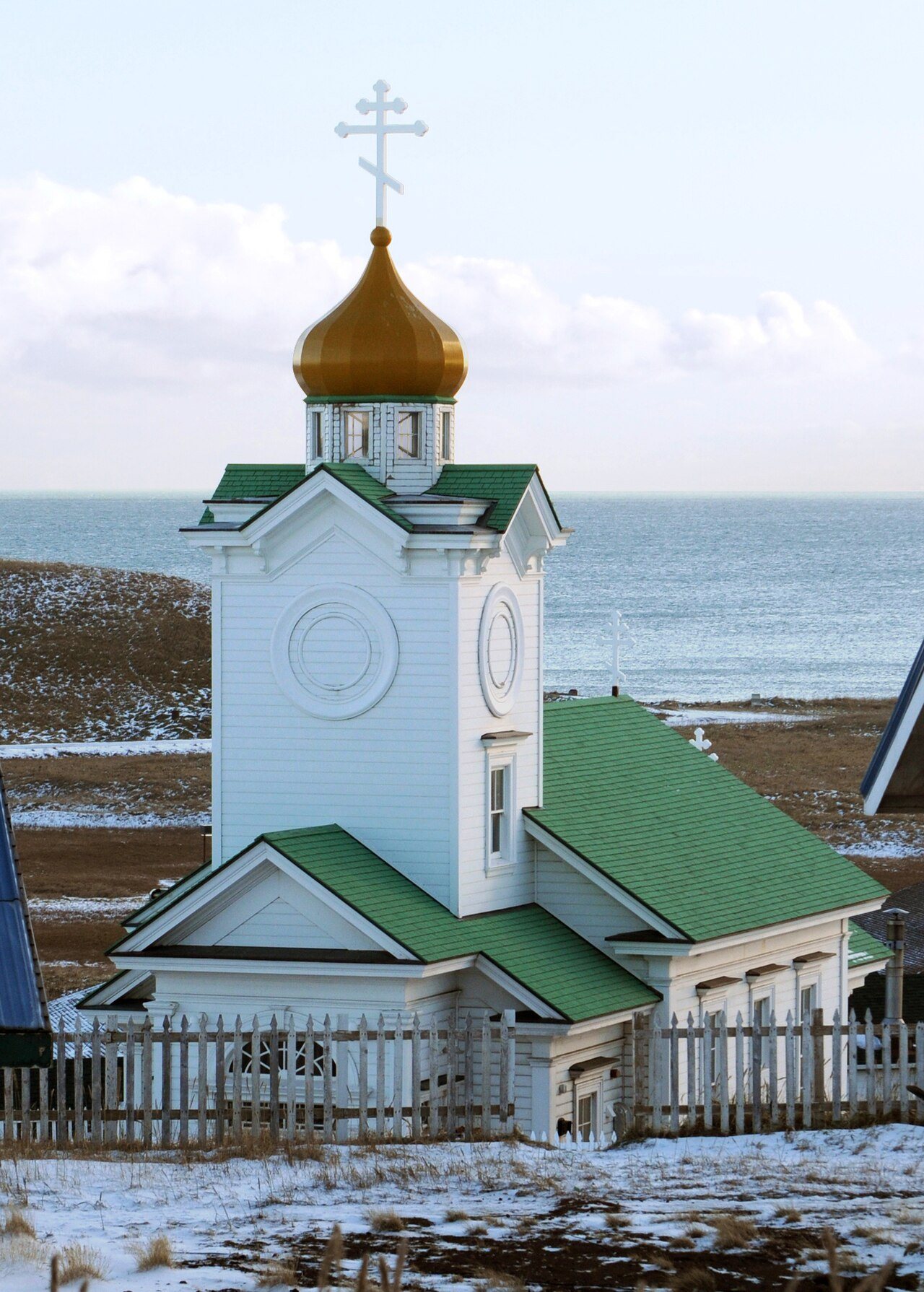
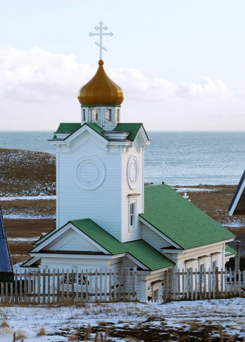
St. Paul was first counted by the census in 1880, and 1 of its places is on the National Register
Most of St. Paul was built recently: 0.0% of its homes predate 1940 and the median home dates from 1987. Its Register listing is the Sts. Peter and Paul Church. Its Register listing is the Sts. Peter and Paul Church. Below: maps from 1958 on and the census since 1880.
Peaked at 763 in 1990; 413 people lived here in 2020.
14 censuses, 1880–2020.
U.S. Census Bureau decennial counts, from the census table on St. Paul’s Wikipedia page.
The story so far
St. Paul, in brief
Wikipedia doesn’t have a history of St. Paul yet. The photos, dates and memories neighbors add here are how it gets written.
St. Paul (Aleut: Tanax̂ Amix̂ or Sanpuulax̂, Russian: Сент-Пол, romanized: Sent-Pol) is a city in the Aleutians West Census Area, Alaska, United States. It is the main settlement of Saint Paul Island in the Pribilof Islands, an archipelago in the Bering Sea. The population was 413 at the 2020 census, down from 479 in 2010. The three closest islands to Saint Paul Island are Otter Island to the southwest, Saint George slightly to the south, and Walrus Island to the east. St. Paul Island's land area is 43 sq mi (110 km2). In 2008, it had one school with 76 students, one post office, one bar, one small store, and one church (the Russian Orthodox Sts. Peter and Paul Church), which is listed on t…
Its first post office opened in 1880. Between the 2010 and 2020 censuses its population fell from 479 to 413 (-14%).
Intro from Wikipedia. Population: U.S. Census Bureau.
Timeline
St. Paul, 1948 to 1990
Woven from the archive, old maps, post office records, the National Register and the people born here.
Founding dates: Wikidata, Wikipedia, the U.S. post office records of Blevins & Helbock (CC0) and the Census. Homes by year built: Census ACS 2020–24. National Register of Historic Places: National Park Service (list of May 22, 2026). Old photos, postcards and papers: Wikimedia Commons, the Library of Congress and other public archives, credited on each item’s page. Maps: U.S. Geological Survey historical topographic maps (via Esri) and Sanborn fire-insurance maps (Library of Congress). History text and census tables: Wikipedia (CC BY-SA 4.0). Places that used to be: USGS Geographic Names Information System (2021). How TownRatings grades history →
From Wikidata (1), the National Register of Historic Places (1), U.S. Geological Survey historical maps, U.S. Census counts (via Wikipedia), the US Post Offices dataset (Blevins & Helbock) and the USGS Geographic Names Information System. Archive images are copied here with their credits and licenses, shown on each photo’s page. Refreshed monthly.