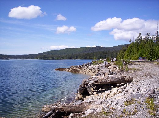
 Photo: User:Rldipaolo · Public domain
–Not graded
Outdoors in Edna Bay
More than half of Edna Bay’s land is conserved: 73%
73% of Edna Bay’s land is conserved, about 9,876 acres. The biggest trail networks: Tongass National Forest (19.2 mi). 19 miles of mapped trail cross Edna Bay, 0.9 per square mile of land.
Conserved land
73%
9,876 acres · of 21.1 sq mi of land
Trails
19 mi
0.9 per sq mi of land
Near a park
under 1%
of residents within ½ mile
The map
Conserved land, trails & bike routes
Tap a number to zoom to a park. Tap a layer to hide it.
Easements protect land from building but are usually private.© OpenStreetMap contributors · USGS PAD-US
Places to walk
Pick a walk
The longest trail network is Tongass National Forest, with 19.2 miles. Directions go to the nearest trailhead or public parking.