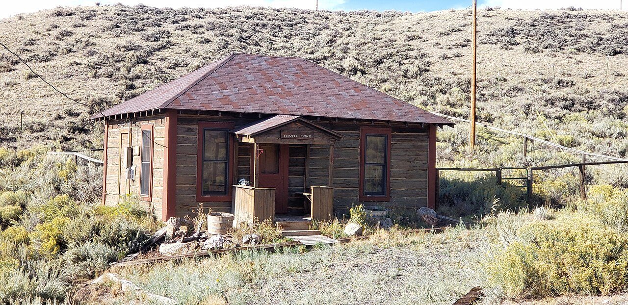
 N. K. Boswell Ranch · Photo: 25or6to4 · CC BY-SA 4.0
More than half of Woods Landing-Jelm’s land is conserved: 82%
82% of Woods Landing-Jelm’s land is conserved, about 8,785 acres. 35 miles of mapped trail cross Woods Landing-Jelm, 2.1 per square mile of land.
Conserved land, trails & bike routes
Tap a number to zoom to a park. Tap a layer to hide it.
8,785 conserved acres
82% of Woods Landing-Jelm’s land. Who manages Woods Landing-Jelm’s conserved land, from the USGS Protected Areas Database. Approximate, because parcels can overlap.
| Parcel (PAD-US) | Managed by | Acres | Public access |
|---|---|---|---|
| Medicine Bow National Forest National Forest | U.S. Forest Service | 5,039 | Open |
| Rawlins Field Office National Public Lands | Bureau of Land Management | 1,054 | Open |
| State Lands 1111120425 State Resource Management Area | State land board | 473 | Open |
| Jelm Wildlife Habitat Management Area State Conservation Area | State fish & wildlife | 438 | Restricted |
| State Lands 1111124352 State Resource Management Area | State land board | 408 | Open |
| State Lands 1111128458 State Resource Management Area | State land board | 312 | Open |
| State Lands 1111128461 State Resource Management Area | State land board | 310 | Open |
| State Lands 1111120566 State Resource Management Area | State land board | 265 | Open |
| State Lands 1111120568 State Resource Management Area | State land board | 186 | Open |
| State Lands 1111120567 State Resource Management Area | State land board | 152 | Open |
5 smaller protected places aren’t shown.
2 places to go in Woods Landing-Jelm
Beaches, playgrounds, peaks, falls and more. Pick a kind.
4 named trails
1 place on the National Register
The country’s official list of places worth saving (National Park Service). The map also marks 1 historic points from OpenStreetMap: plaques, memorials and old buildings.
The best walking months in Woods Landing-Jelm: May to September
NOAA’s 1991–2020 normals for the town and the daylight at its latitude. Outlined months have long days, highs of 59 to 86 °F and little rain for the place.
| Jan | Feb | Mar | Apr | May | Jun | Jul | Aug | Sep | Oct | Nov | Dec | |
|---|---|---|---|---|---|---|---|---|---|---|---|---|
| Daylight (h) | 9.5 | 10.6 | 11.8 | 13.3 | 14.5 | 15.1 | 14.8 | 13.8 | 12.4 | 11.0 | 9.8 | 9.2 |
| High (°F) | 33 | 35 | 43 | 50 | 60 | 72 | 78 | 76 | 69 | 55 | 42 | 33 |
| Rain (in) | 0.8 | 0.8 | 1.1 | 1.7 | 1.9 | 1.3 | 1.3 | 1.2 | 1.3 | 1.1 | 0.9 | 0.8 |
February is the driest month (0.8 in) and July the warmest (highs of 78 °F). 1.9 inches fall in May, the wettest month. The climate in Woods Landing-Jelm →
Questions about parks and trails in Woods Landing-Jelm
Is there public land near Woods Landing-Jelm?
185,816 acres of parks and open public land lie inside Woods Landing-Jelm or within 10 miles of it (PAD-US), 8,389 of them inside the town line.
Trail talk
Conditions, parking and favorite walks from Woods Landing-Jelm neighbors.
Where this page comes from
Conserved and public land: USGS Protected Areas Database of the United States (PAD-US), service updated July 2026. Parks, trails, playgrounds, beaches and other places: OpenStreetMap (© OpenStreetMap contributors, ODbL), map data as of 2026-10-28. Land and water area: Census 2025 Gazetteer. Residents near a park: 2020 Census blocks. National Register: National Park Service. How TownRatings grades the outdoors →