Fort Bridger dates to 1843, and 3 of its places are on the National Register
Most of Fort Bridger was built recently: 0.0% of its homes predate 1940 and the median home dates from 2003. Its Register listings are the ERT Bridge over Black's Fork, the Black and Orange Cabins and the Fort Bridger. Below: 8 old photos and papers, maps from 1964 on, and the census since 2000.
Fort Bridger was established in 1843 by Jim Bridger and Louis Vasquez. It served as a trading post for those who were traveling westward along the Oregon Trail, as well as LDS Pioneers, the Pony Express, the Lincoln Highway, and the transcontinental railroad. The fort was also commonly used to trade with the local Native Americans.
The fort was not very glamorous, it was even a disappointment to most travelers. It was simply two log cabins about 40 feet (12 m) in length connected by a fence to hold horses. Most visitors complained about insufficient supplies and it being overpriced. They did, however, have a blacksmith's shop that many travelers took advantage of.
Nothing in the archives for these yearsWeddings on Main Street, storms, parades, school pictures, the old store. If it’s in your family album, it belongs here.
Founding dates: Wikidata, Wikipedia, the U.S. post office records of Blevins & Helbock (CC0) and the Census. Homes by year built: Census ACS 2020–24. National Register of Historic Places: National Park Service (list of May 22, 2026). Old photos, postcards and papers: Wikimedia Commons, the Library of Congress and other public archives, credited on each item’s page. Maps: U.S. Geological Survey historical topographic maps (via Esri) and Sanborn fire-insurance maps (Library of Congress). History text and census tables: Wikipedia (CC BY-SA 4.0). Places that used to be: USGS Geographic Names Information System (2021). How TownRatings grades history →
From Wikimedia Commons (2), the Library of Congress (12), the National Register of Historic Places (3), Wikipedia, U.S. Geological Survey historical maps, U.S. Census counts (via Wikipedia), the US Post Offices dataset (Blevins & Helbock) and the USGS Geographic Names Information System. Archive images are copied here with their credits and licenses, shown on each photo’s page. Refreshed monthly.


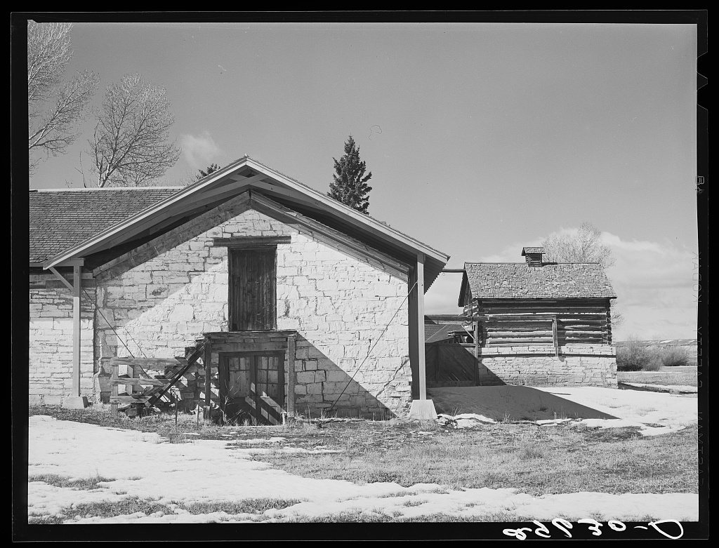


 1940
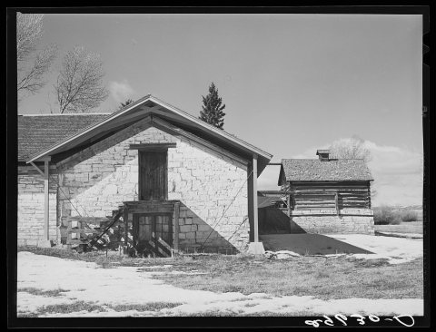 1940
 1940
 1940
 1940
 2016
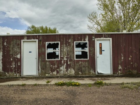 2016
 2016
 2016
 2016
 2004


