Encampment’s post office opened in 1897, and 27% of its homes were built before 1940
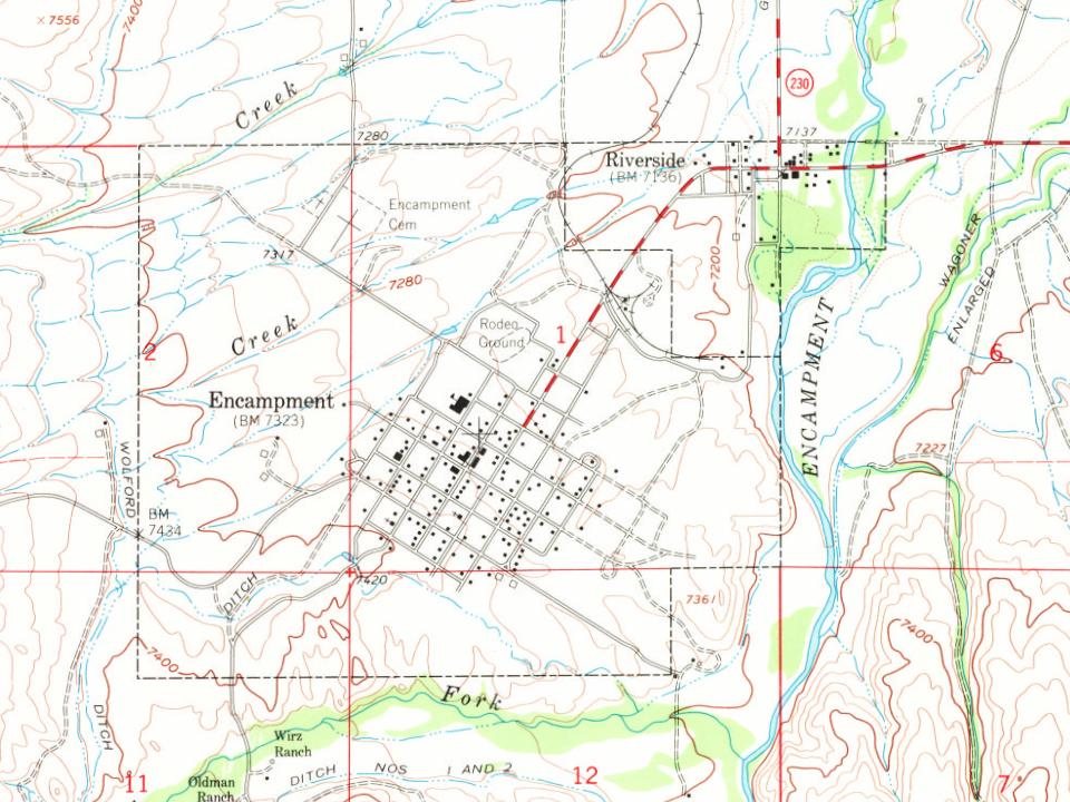
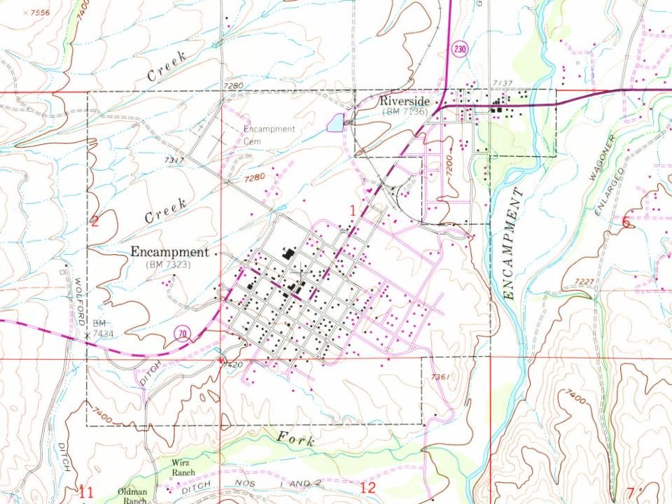
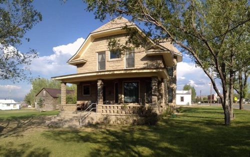
Its Register listings are the Grand Encampment Mining Region: Boston Wyoming Smelter Site, the Willis House and the Lora Webb Nichols House. Below: 2 old photos and papers, maps from 1961 on, and the census since 1910.
Known also as "Grand Encampment", this town along the Colorado-Wyoming border was, at the turn of the twentieth century, a booming center of copper mining and smelting. At one point a sixteen-mile tramway was built to carry copper ore from the mountains into the town for smelting. This steam powered tramway was, at the time, the longest in the world. A sharp drop in copper prices and disastrous fires drove the mining company into bankruptcy. Mining operations ceased in the early twentieth century. A large sawmill operated in the town between 1950 and 1998.
The town's economy in the first part of the twenty-first century is driven by timber, ranching, and recreation.
Nothing in the archives for these yearsWeddings on Main Street, storms, parades, school pictures, the old store. If it’s in your family album, it belongs here.
The Encampment post office opened in 1897, the earliest record of the town by name (U.S. post office records).
What is on the National Register in Encampment?
Three places: the Grand Encampment Mining Region: Boston Wyoming Smelter Site (listed 1973), the Willis House (2001) and the Lora Webb Nichols House (2023).
Founding dates: Wikidata, Wikipedia, the U.S. post office records of Blevins & Helbock (CC0) and the Census. Homes by year built: Census ACS 2020–24. National Register of Historic Places: National Park Service (list of May 22, 2026). Old photos, postcards and papers: Wikimedia Commons, the Library of Congress and other public archives, credited on each item’s page. Maps: U.S. Geological Survey historical topographic maps (via Esri) and Sanborn fire-insurance maps (Library of Congress). History text and census tables: Wikipedia (CC BY-SA 4.0). Places that used to be: USGS Geographic Names Information System (2021). How TownRatings grades history →
From Wikimedia Commons (5), the Library of Congress (1), the National Register of Historic Places (3), Wikipedia, U.S. Geological Survey historical maps, U.S. Census counts (via Wikipedia), the US Post Offices dataset (Blevins & Helbock) and the USGS Geographic Names Information System. Archive images are copied here with their credits and licenses, shown on each photo’s page. Refreshed monthly.


 1903
 2015
 2012
 2011
 2004