Every edition of the U.S. Geological Survey’s map of Prince. Tap a year, or press play to watch the town change.
1913Beckley sheet · 1:62,500
U.S. Geological Survey historical topographic maps (public domain), via Esri’s collection of the scans. The red ring marks the center of Prince.
The story so far
Prince, in brief
Wikipedia doesn’t have a history of Prince yet. The photos, dates and memories neighbors add here are how it gets written.
Prince is a census-designated place (CDP) in Fayette County, West Virginia, United States. As of the 2020 census, its population was 115 (slightly down from 116 at the 2010 census). Located at an altitude of 1,263 feet (385 m), it is served by an Amtrak station. The community was named after William Prince, an early settler.
Its first post office opened in 1889. Its population held steady between the last two censuses: 116 in 2010, 115 in 2020.
Intro from Wikipedia. Population: U.S. Census Bureau.
From the old history books
What they wrote about Prince in 1926
Passages that mention Prince, cut from the printed page as they were published.
History of fayette county west virginia1926 · page 54Read the page →
Text read by machine from the scan; it may contain errors.
History of fayette county west virginia1926 · page 546Read the page →
Read the text
546 Fayette County HISTORY families, one settling up Laurel creek near where the old coke ovens stood and two families on Mann mountain. In 1870 William Prince and his brother James Prince bought 300 acres of ground from Alfred Beckley for $3000.00. They built their home near the present junction of the Chesapeake and Ohio and Piney branch of the Chesapeake and Ohio. Arriving there just before the beginning of the construction of the Chesapeake and Ohio railroad, they
Text read by machine from the scan; it may contain errors.
Scans and text from the Internet Archive. Books published in 1930 or earlier, which are in the public domain.
Founding dates: Wikidata, Wikipedia, the U.S. post office records of Blevins & Helbock (CC0) and the Census. Homes by year built: Census ACS 2020–24. National Register of Historic Places: National Park Service (list of May 22, 2026). Old photos, postcards and papers: Wikimedia Commons, the Library of Congress and other public archives, credited on each item’s page. Maps: U.S. Geological Survey historical topographic maps (via Esri) and Sanborn fire-insurance maps (Library of Congress). History text and census tables: Wikipedia (CC BY-SA 4.0). Places that used to be: USGS Geographic Names Information System (2021). How TownRatings grades history →
From Wikimedia Commons (3), the National Register of Historic Places (1), U.S. Geological Survey historical maps, the US Post Offices dataset (Blevins & Helbock), the USGS Geographic Names Information System and old county and town histories (Internet Archive). Archive images are copied here with their credits and licenses, shown on each photo’s page. Refreshed monthly.
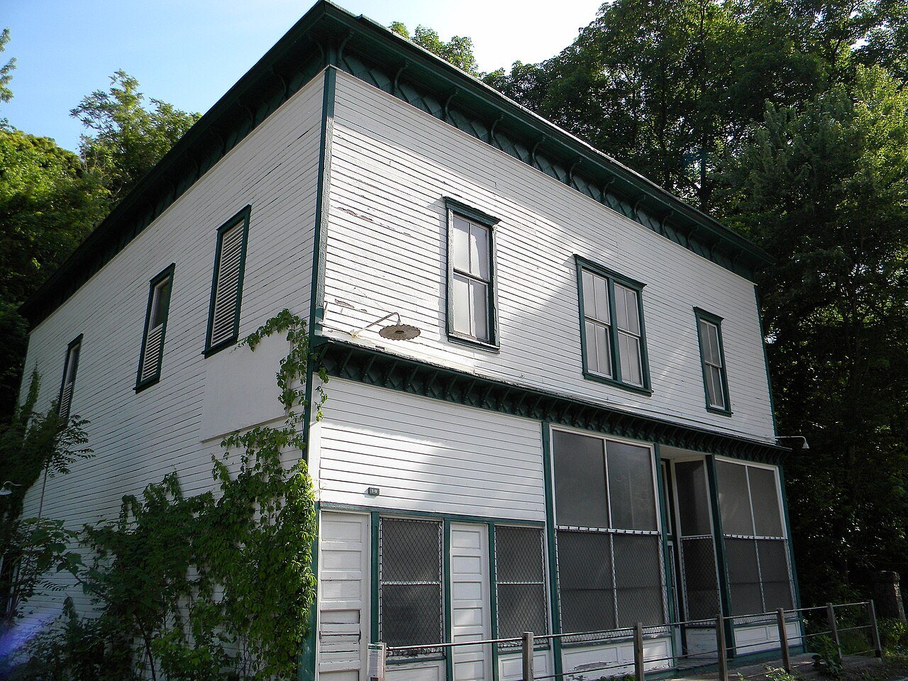


 2022
 2022
 2022