Fire insurance maps drew every building, what it was made of and what it was used for, so insurers could price the risk of fire. Pick a year, then a sheet.
1892Sheet 1 of 1
Edition
Sheets
BrickWoodStone
Sanborn Map Company, via the Library of Congress. Editions published in 1930 or earlier, which are in the public domain.
People over time
Piedmont, census by census
Peaked at 2,835 in 1920; 718 people lived here in 2020.
15 censuses, 1870–2020.
U.S. Census Bureau decennial counts, from the census table on Piedmont’s Wikipedia page.
The Town of Piedmont is situated in the Allegheny Front mountain range along the North Branch of the Potomac River. A century prior to the chartering of Piedmont, the area was opened for European settlement with the creation of Hampshire County in 1754 by the colonial government in Virginia. The region was the scene of hostile interactions between European settlers and pro-French Native Americans during the French and Indian War. Owing to its location and natural resources, the Piedmont area attracted German, Scotch-Irish, Swiss, English, and Italian immigrants, making the region more diverse than the primarily English-American Hampshire County. These cultural differences within the county, as well as growing population in the years leading up to the Civil War would later contribute to the formation of a new county.
Nothing in the archives for these yearsWeddings on Main Street, storms, parades, school pictures, the old store. If it’s in your family album, it belongs here.
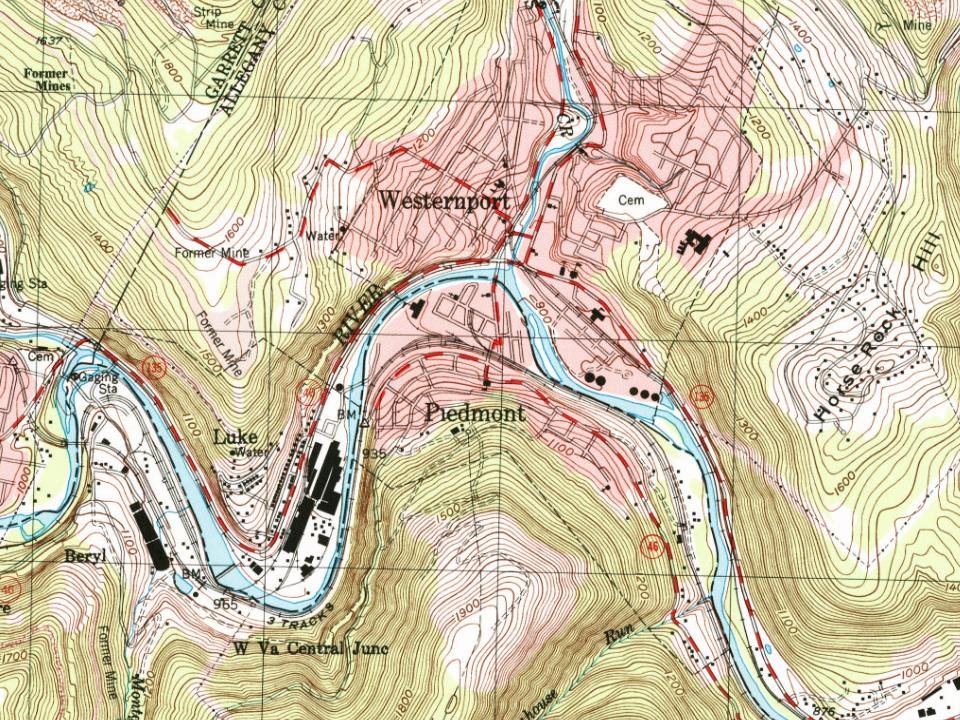
Founding dates: Wikidata, Wikipedia, the U.S. post office records of Blevins & Helbock (CC0) and the Census. Homes by year built: Census ACS 2020–24. National Register of Historic Places: National Park Service (list of May 22, 2026). Old photos, postcards and papers: Wikimedia Commons, the Library of Congress and other public archives, credited on each item’s page. Maps: U.S. Geological Survey historical topographic maps (via Esri) and Sanborn fire-insurance maps (Library of Congress). History text and census tables: Wikipedia (CC BY-SA 4.0). Places that used to be: USGS Geographic Names Information System (2021). How TownRatings grades history →
From Wikimedia Commons (4), the Library of Congress (2), Wikidata (1), the National Register of Historic Places (1), Wikipedia, Wikidata and Wikipedia for famous people, U.S. Geological Survey historical maps, U.S. Census counts (via Wikipedia), the US Post Offices dataset (Blevins & Helbock), the USGS Geographic Names Information System and Sanborn fire insurance maps (Library of Congress). Archive images are copied here with their credits and licenses, shown on each photo’s page. Refreshed monthly.


 2016
 2016
 2014
 2012