96 years in pictures
The archive holds 18 old photos and papers going back to 1935 and 5 maps from 1904 on.
- 1930Osage is settled
Each edition grades its towns against each other only.

We don’t grade Osage yet; the figures below are still real.
Where Osage beats most towns.

The archive holds 18 old photos and papers going back to 1935 and 5 maps from 1904 on.
Osage is unincorporated, so Monongalia County and regional agencies provide most services.
EPA SDWIS (Oct 9, 2026) · HIFLD + EIA-861 2025 · Census 2020 ZCTAs · NCES 2024–25 · registration: vote.gov, updated Aug 3, 2026.
Ordered by what stands out in Osage.
Compared with 79% of U.S. communities, expected storm and flood damage in Osage is higher. Of the losses FEMA expects here, 90% come from inland flooding.
FEMA National Risk Index · OpenFEMA
NOAA U.S. Climate Normals, 1991–2020
Osage: 20% of adults report frequent mental distress, against 21% in West Virginia’s towns and 17% across U.S. towns. Against the West Virginia average, Osage comes out ahead on 7 CDC measures out of 32, and behind on 1. The share of adults in Osage who have high blood pressure: 42%. Among 62 West Virginia towns, just 3 have a lower share of adults who have been diagnosed with depression than Osage.
| Osage | West Virginia towns | U.S. towns | |
|---|---|---|---|
| Depression (CDC PLACES) | 27% | 31% | 23% |
| Sleep under 7 hours (CDC PLACES) | 42% | 40% | 36% |
| Frequent mental distress (CDC PLACES) | 20% | 21% | 17% |
| High blood pressure (CDC PLACES) | 42% | 44% | 35% |
| What stands out | Osage | WV |
|---|---|---|
| Fewer older adults who have lost all their teeth | 13.1% | 19.5% |
| Fewer adults with COPD | 8.2% | 10.6% |
| Fewer adults screened for colon cancer | 60.1% | 66.5% |
CDC PLACES 2025 · modeled estimates for adults · CMS · HRSA
Museums, parks, gardens and other places to visit around Osage. Close and well known come first.
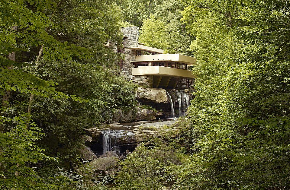
Big draw33 mi MuseumFallingwater
3 mi Stadium & arenaMountaineer Field at Milan Puskar Stadium
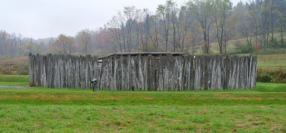
24 mi National BattlefieldFort Necessity National Battlefield226K visitors a year
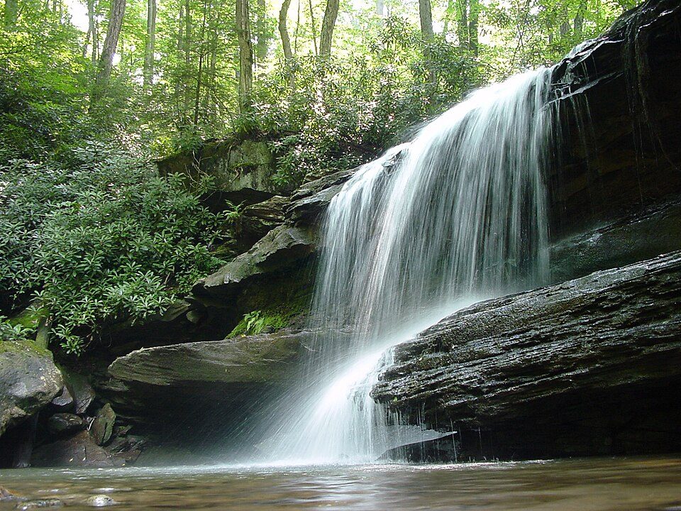
34 mi LakeDeep Creek Lake
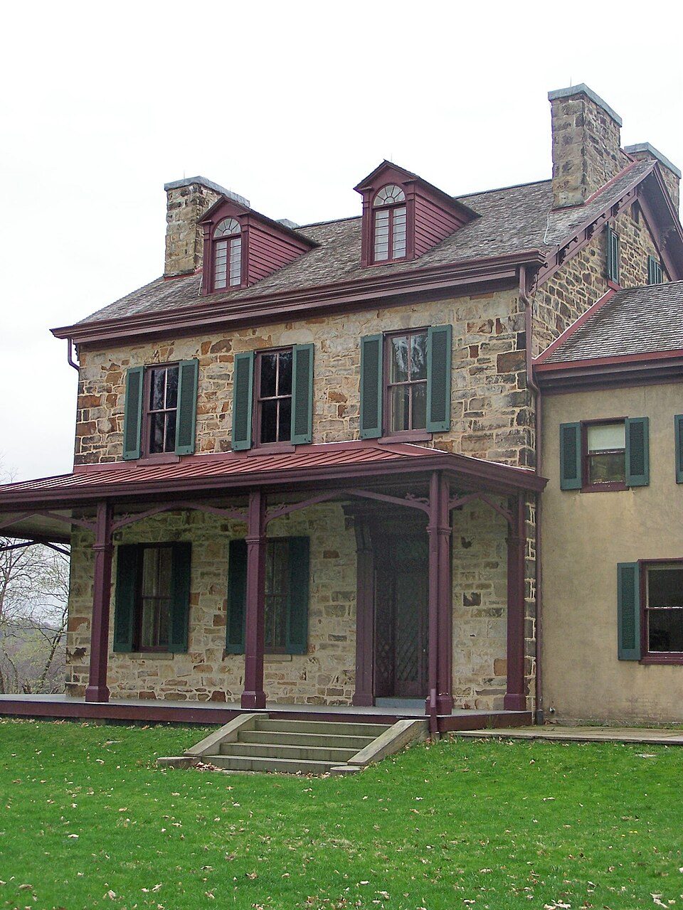
8 mi National Historic SiteFriendship Hill National Historic Site18K visitors a year
33 mi State parkOhiopyle State ParkFallingwater: Carol M. Highsmith, Public domain · Mountaineer Field at Milan Puskar Stadium: Quintin Soloviev, CC BY 4.0 · Fort Necessity National Battlefield: Wilson44691, CC0 · Deep Creek Lake: Gohens84, CC BY-SA 3.0 · Friendship Hill National Historic Site: The original uploader was ScottyBoy900Q at English Wikipedia., CC BY-SA 3.0 · Ohiopyle State Park: Hubert Stoffels from Pittsburgh, USA, CC BY 2.0
3 within 15 miles of the center of Osage
Unincorporated community in West Virginia
Osage is an unincorporated community in Monongalia County, West Virginia, United States. It lies across the Monongahela River from Morgantown. The community was named after the Osage Indians.
From Wikipedia, licensed CC BY-SA 4.0 · facts via Wikidata (CC0)
One town shares a border with Osage.
Granville has fewer than 2,500 residents, so it gets subject grades but no overall grade. Granville reports no FBI crime data of its own. Osage isn’t graded (fewer than 1,000 residents, or not enough data). Compare Osage with a neighbor →
Short answers, built from the data on this page.
We don’t grade Osage yet; the figures below are still real.