Passages that mention Masontown, cut from the printed page as they were published.
A History of Preston County, West Virginia1914 · page 691Read the page →
Read the text
Preston County, West Virginia 691 Masontown. In 1895, two years later, he purchased another farm, and in 1901, moved to the Simon Martin farm, half a mile north of Masontown, but moved again in April, 1903, to a farm on the Ice's Ferry and Tunnelton Pike road half a mile south of Masontown, which he had purchased from Samuel B. Kirk. This farm was settled about 1776, being one of the first in this part of the country.
Text read by machine from the scan; it may contain errors.
History of Preston County (West Virginia)1882 · page 115Read the page →
Read the text
Masontown. — During this year (1856), William Mason moved to the site of Masontown, from Albrightsville. He. put up a house and store, and founded this town, named after him.
Text read by machine from the scan; it may contain errors.
A History of Preston County, West Virginia1914 · page 680Read the page →
Read the text
Watson, and to this union were born Mary Catherine, October 17, 1906; Cramer, December 29, 1908; Virginia Bess, June 14, 1911, and James Clifford, April 3, 1913. The residence property was built at Masontown in 1906. Mr. Gibson is a member and an official of the Methodist Church at Masontown ; is an active church worker, and supports that religious organization handsomely.
Text read by machine from the scan; it may contain errors.
Scans and text from the Internet Archive. Books published in 1930 or earlier, which are in the public domain.
Timeline
Masontown, 1856 to 1980
Woven from the archive, old maps, post office records, the National Register and the people born here.
Nothing in the archives for these yearsWeddings on Main Street, storms, parades, school pictures, the old store. If it’s in your family album, it belongs here.
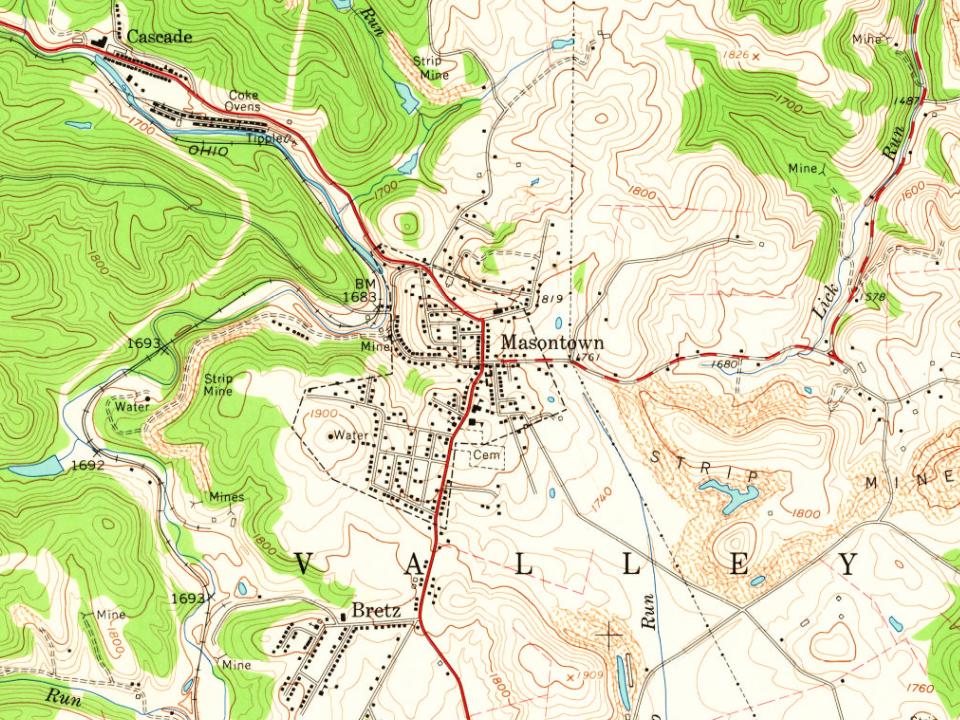
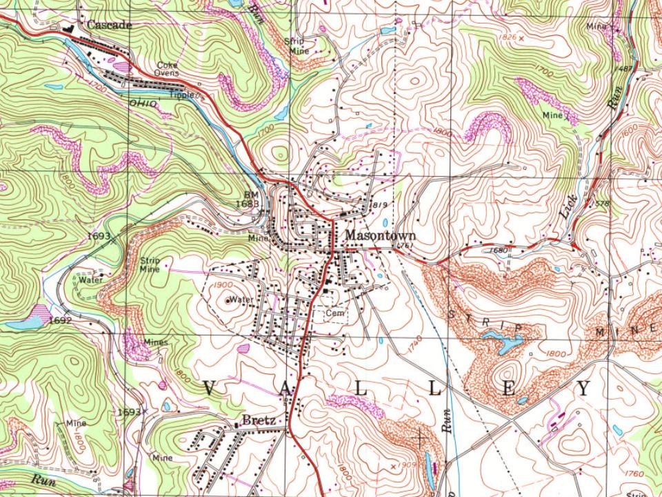
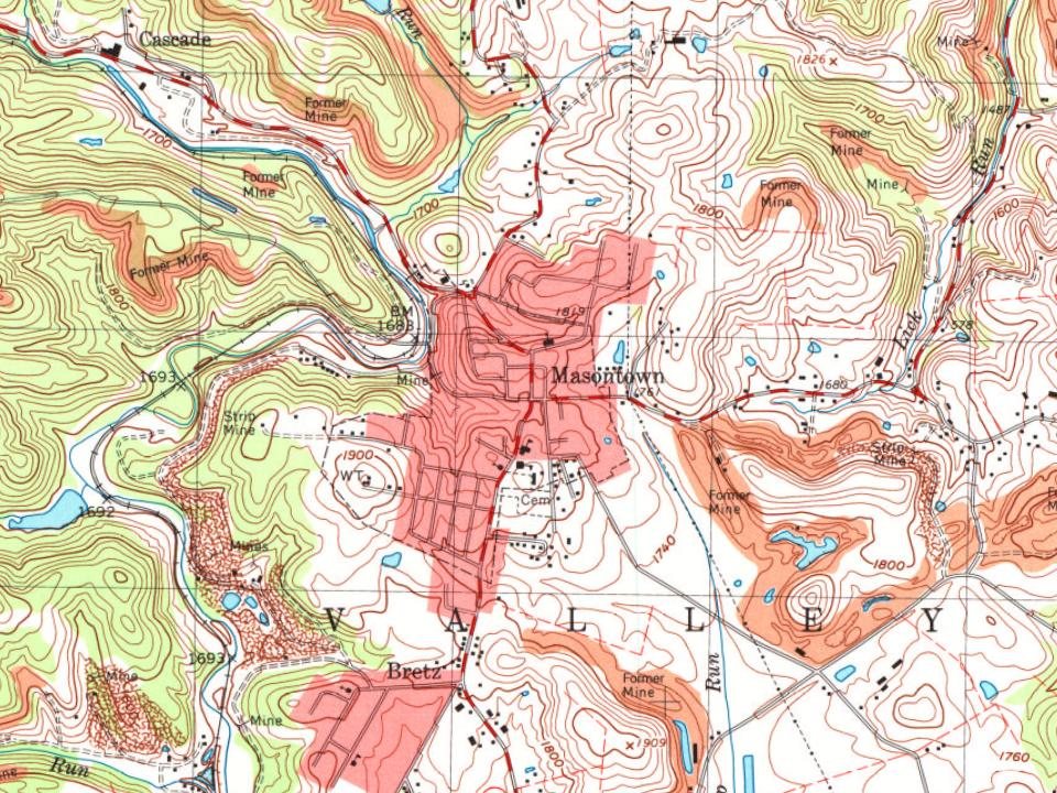
Founding dates: Wikidata, Wikipedia, the U.S. post office records of Blevins & Helbock (CC0) and the Census. Homes by year built: Census ACS 2020–24. National Register of Historic Places: National Park Service (list of May 22, 2026). Old photos, postcards and papers: Wikimedia Commons, the Library of Congress and other public archives, credited on each item’s page. Maps: U.S. Geological Survey historical topographic maps (via Esri) and Sanborn fire-insurance maps (Library of Congress). History text and census tables: Wikipedia (CC BY-SA 4.0). Places that used to be: USGS Geographic Names Information System (2021). How TownRatings grades history →
From Wikimedia Commons (2), the Library of Congress (1), Wikipedia, Wikidata and Wikipedia for famous people, U.S. Geological Survey historical maps, U.S. Census counts (via Wikipedia), the US Post Offices dataset (Blevins & Helbock), the USGS Geographic Names Information System and old county and town histories (Internet Archive). Archive images are copied here with their credits and licenses, shown on each photo’s page. Refreshed monthly.




 2011
 2004