
Kincaid West Virginia abandoned Sunoco station 1, 2012
Kincaid’s story
148 years in pictures
The archive holds 2 old photos and papers going back to 2012 and 6 maps from 1910 on.
- 1878Kincaid is established
Each edition grades its towns against each other only.
With 285 residents, this town was established in 1878.
80% of residents live below the poverty line in Kincaid, where West Virginia’s towns sit at 16% and U.S. towns at 9.6%. No town among the 62 in West Virginia we compare has a higher owner-occupancy rate than Kincaid. Kincaid has fewer than 1,000 residents, too few for fair grades; the figures below are still real.
In a town this size, neighbors are the best guide. Ask them anything.
The archive holds 2 old photos and papers going back to 2012 and 6 maps from 1910 on.
Museums, parks, gardens and other places to visit around Kincaid. Close and well known come first.
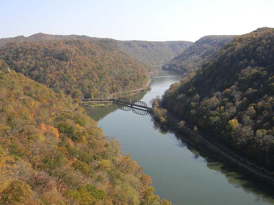 9 mi National PreserveNew River Gorge National Park and Preserve2.0M visitors a year
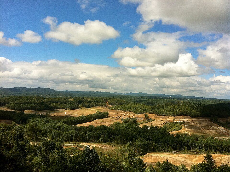 13 mi Park & preserveThe Summit Bechtel Family National Scout Reserve
 32 mi Ancient siteCriel Mound
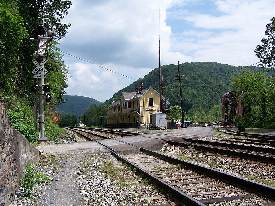 12 mi MuseumThurmond
 18 mi MuseumPhillips-Sprague Mine
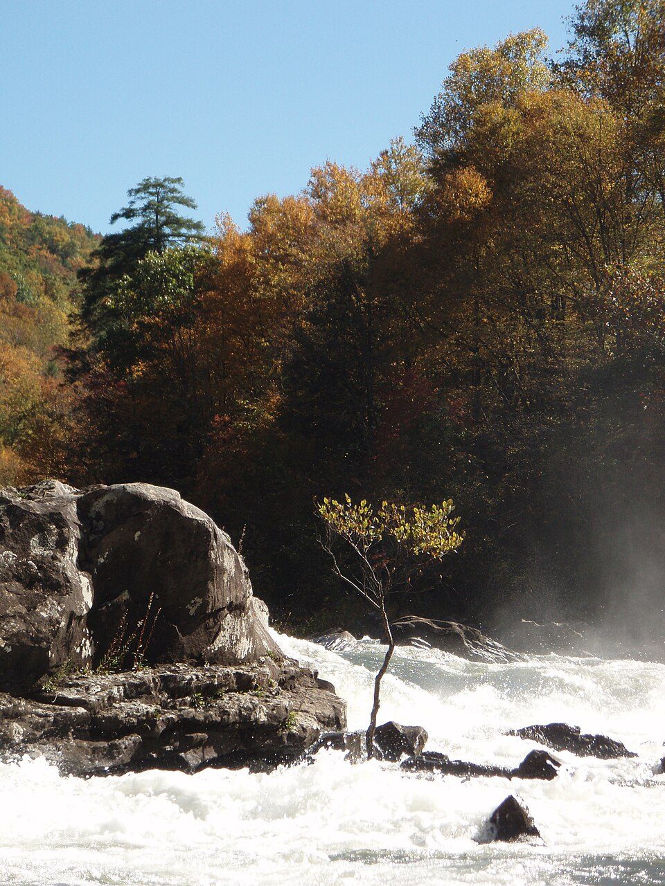 15 mi National Recreation AreaGauley River National Recreation Area214K visitors a year
New River Gorge National Park and Preserve: NKS22, Public domain · The Summit Bechtel Family National Scout Reserve: Lisa Strader, CC BY 2.0 · Criel Mound: David G. Simpson, Public domain · Thurmond: Brian M. Powell (user Bitmapped on en.wikipedia), CC BY-SA 3.0 · Phillips-Sprague Mine: Coal town guy, CC BY-SA 3.0 · Gauley River National Recreation Area: Wwkayaker22 at English Wikipedia, CC BY 3.0
Kincaid is unincorporated, so Fayette County and regional agencies provide most services.
EPA SDWIS (Oct 9, 2026) · HIFLD + EIA-861 2025 · Census 2020 ZCTAs · NCES 2024–25 · registration: vote.gov, updated Aug 3, 2026.
Ordered by what stands out in Kincaid.
Only 2 of the 62 West Virginia towns we compare have a higher natural-hazard score from FEMA than Kincaid. 89% of the town’s expected losses from natural hazards come from inland flooding. Federal disaster aid has reached households in Kincaid after 7 declared disasters, most recently in 2024.
FEMA disaster declarations and aid · FEMA National Risk Index · OpenFEMA
Half the trips to work are shorter than 20 miles. The top destinations are Beckley (10%), Montgomery (6%) and South Charleston (6%).
Census LEHD 2023 · ACS
The typical July afternoon high for Kincaid comes to 82°F.
NOAA U.S. Climate Normals, 1991–2020
For adults in Kincaid, the share who say their health is fair or poor is 32%. Only one of the 62 West Virginia towns we compare has a higher share of adults who have diabetes than Kincaid.
| Kincaid | West Virginia towns | U.S. towns | |
|---|---|---|---|
| Smoke cigarettes (CDC PLACES) | 26% | 18% | 14% |
| Diabetes (CDC PLACES) | 21% | 16% | 12% |
| Frequent physical distress (CDC PLACES) | 21% | 17% | 14% |
| Sleep under 7 hours (CDC PLACES) | 48% | 40% | 36% |
| What stands out | Kincaid | WV |
|---|---|---|
| More older adults who have lost all their teeth | 29.8% | 19.5% |
| More smokers | 25.7% | 19.3% |
| More adults with heart disease | 11.5% | 8.7% |
CDC PLACES 2025 · modeled estimates for adults · CMS · HRSA
Zillow Home Value Index · Redfin Data Center
1 within 15 miles of the center of Kincaid
About 0 of every 100 Kincaid residents are enrolled in college, against 5 across West Virginia.
Where Kincaid’s working residents go each day. Line width shows the share.
Census LEHD 2023
Census-designated place in West Virginia, United States
Kincaid is a census-designated place (CDP) in Fayette County, West Virginia, United States. As of the 2020 census, its population was 191 (down from 260 at the 2010 census). Kincaid is located on West Virginia Route 61, 8 miles (13 km) northwest of Oak Hill. Kincaid has a post office with ZIP code 25119. The community was established in 1878.
From Wikipedia, licensed CC BY-SA 4.0 · facts via Wikidata (CC0)
Short answers, built from the data on this page.
Kincaid has fewer than 1,000 residents, too few for fair grades; the figures below are still real.


