Huttonsville’s post office opened in 1813, and 19% of its homes were built before 1940
Its Register listings are the E. E. Hutton House, the Tygarts Valley Church and the Cheat Summit Fort. Below: maps from 1922 on and the census since 1910.
Huttonsville was named for Jonathan Hutton, a pioneer settler.
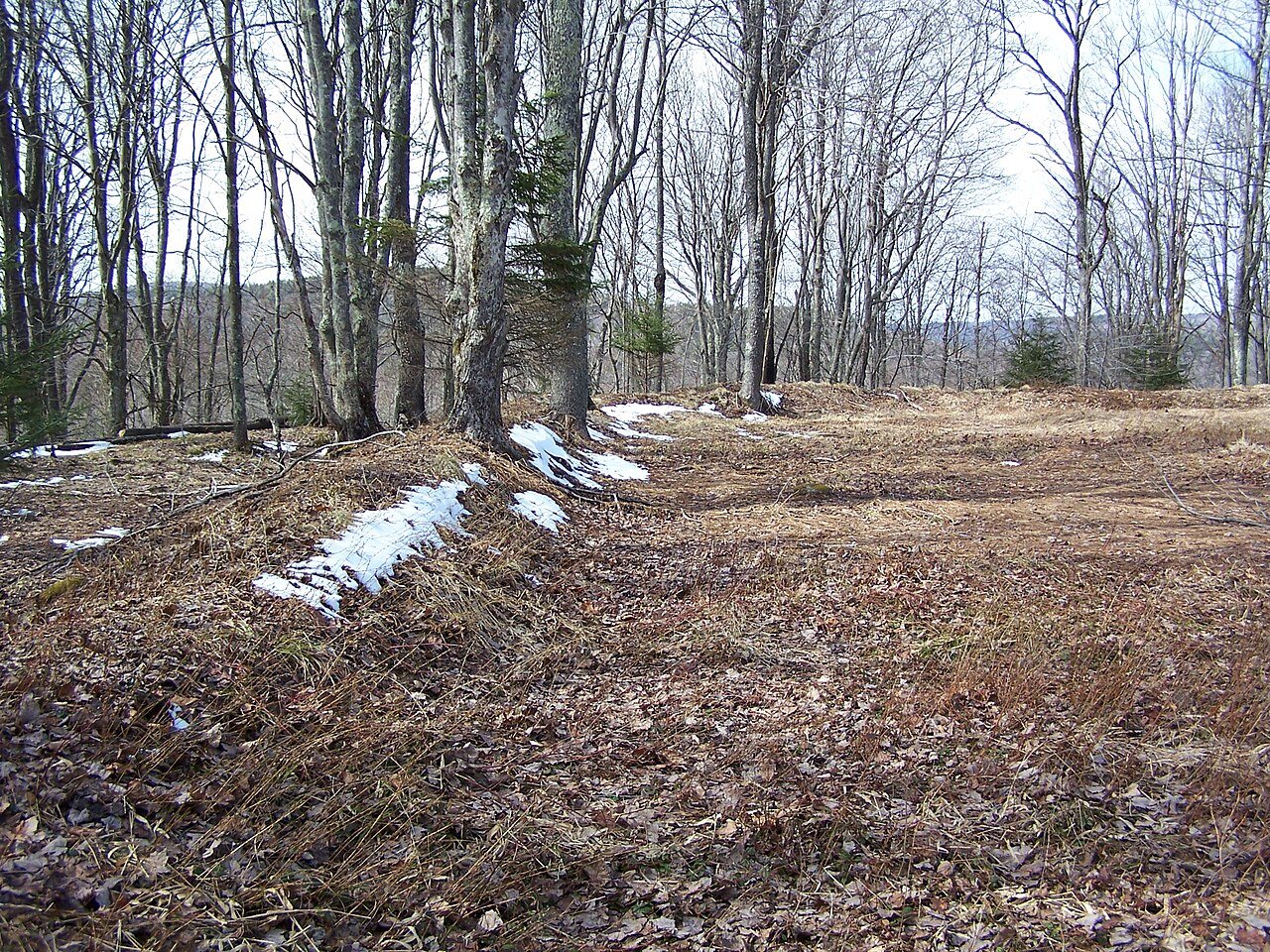
Located at Huttonsville are the E. E. Hutton House and Tygarts Valley Church, listed on the National Register of Historic Places. Located near Huttonsville are the site of Cheat Summit Fort and Fort Marrow, also listed on the Register.
Huttonsville Correctional Center of the West Virginia Division of Corrections and Rehabilitation is located in the area.
Passages that mention Huttonsville, cut from the printed page as they were published.
A history of Randolph County, West Virginia, from its earliest exploration and settlement to the present time1916 · page 261Read the page →
Read the text
The town of Huttonsville was named in honor of the Hutton family. Before the war the village was the educational center of the county. Until the coming of the West Virginia Central railroad, it was a county hamlet with postoffice, hotel, church, school house and blacksmith shop. It is now an incorporated town with a population of 251 according to the census of 1910.
Text read by machine from the scan; it may contain errors.
The history of Randolph County, West Virginia. From its earliest settlement to the present, embracing records of all the leading families, reminiscences and traditions ..1898 · page 290Read the page →
Read the text
The town of Huttonsville, named from the Hutton family, is noted from the fact that it was the only point west of the Alleghanies at which Governor Letcher's proclamation to the people of West Virginia was published in 1861. The town is at present the terminus of the W. Va. C. & P. R. R.
Text read by machine from the scan; it may contain errors.
The history of Randolph County, West Virginia. From its earliest settlement to the present, embracing records of all the leading families, reminiscences and traditions ..1898 · page 394Read the page →
Read the text
Fannie, Abraham, Mary. All, or nearly all, of these were born in Randolph County. Jonathon Hutton came to this county about 1795 and purchased and took up land on the west side of the river near the present village of Huttonsville. He was a surveyor as well as a farmer, and did his surveying with a compass which he marie with his own hands. One of the early enterprises which he undertook was the drilling of a salt well above Huttonsville, but his efforts were not successful. The lands in that part of the valley when he came were covered with forests of oak and walnut. The
Text read by machine from the scan; it may contain errors.
A history of Randolph County, West Virginia, from its earliest exploration and settlement to the present time1916 · page 255Read the page →
Read the text
Davis and Honorable Richard Kearns, built magnificent residences on adjacent eminences. On August 18, 1889, trains commenced running into the town. The railroad was extended to Beverly and Belington in 1891, and to Huttonsville a few years later. A branch was also built, known as the C. & I., connecting with the Chesapeake & Ohio railroad at Durbin. The Coal & Coke, though entering the city over the Western Maryland tracks, entered the city over its own road
Text read by machine from the scan; it may contain errors.
Scans and text from the Internet Archive. Books published in 1930 or earlier, which are in the public domain.
Timeline
Huttonsville, 1813 to 1940
Woven from the archive, old maps, post office records, the National Register and the people born here.
Founding dates: Wikidata, Wikipedia, the U.S. post office records of Blevins & Helbock (CC0) and the Census. Homes by year built: Census ACS 2020–24. National Register of Historic Places: National Park Service (list of May 22, 2026). Old photos, postcards and papers: Wikimedia Commons, the Library of Congress and other public archives, credited on each item’s page. Maps: U.S. Geological Survey historical topographic maps (via Esri) and Sanborn fire-insurance maps (Library of Congress). History text and census tables: Wikipedia (CC BY-SA 4.0). Places that used to be: USGS Geographic Names Information System (2021). How TownRatings grades history →
From the National Register of Historic Places (3), Wikipedia, U.S. Geological Survey historical maps, U.S. Census counts (via Wikipedia), the US Post Offices dataset (Blevins & Helbock), the USGS Geographic Names Information System and old county and town histories (Internet Archive). Archive images are copied here with their credits and licenses, shown on each photo’s page. Refreshed monthly.