Guest, Sign inJoin

Post to Franklin

We’ll email a one-tap link to publish your post. No password, and nothing is public until you click it.
Already a member? Sign in
–Not graded
History · Franklin

Franklin dates to 1794, and 20% of its homes were built before 1940

3 places in town are on the National Register, among them a historic district with 111 buildings. Below: 2 old photos and papers, maps from 1922 on, and the census since 1880.

1794founded
3on the National Register
20%homes built before 1940
2old photos & papers
4famous people
From Franklin’s archive · credits on each photo
Quick answers

How Franklin began

When was Franklin founded?

1794

Franklin dates its founding to 1794 (Wikidata and Wikipedia’s history agree). The census first counted it in 1880.

First census: 273 in 18802020 census: 495232 years
Founding year: Wikidata; Wikipedia’s history section gives the same year. First post office: 1827.The full story ↓

What stands out about Franklin’s past

Read from the archive, the National Register and the record. The page puts what stands out first.

★ What stands out · On the National Register

3 listings protect 113 historic buildings

The country’s official list of buildings and places worth saving.

places listed
3
National Historic Landmarks
0
none yet
historic buildings protected
113
each building in a district counts
first listed
1982
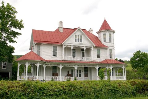
McCoy House
BuildingsDistricts

Architectural styles listings

Greek Revival2
Queen Anne1
Four Square1
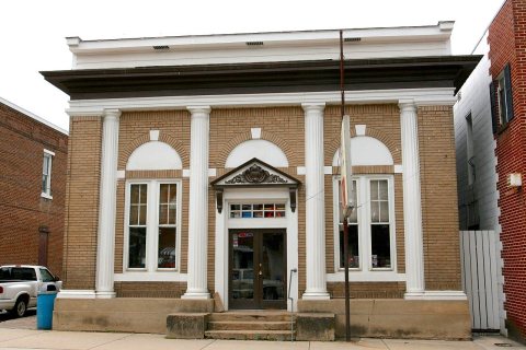
Commercial Italianate1
Vernacular1

National Park Service, National Register of Historic Places. Photos from Wikimedia Commons, credited on each place’s page.

Help out

Start Franklin’s collection

The first neighbors to add old photos shape how Franklin’s history is told.

Decades since 1900 with photos
00s10s20s30s40s50s60s70s80s90s
2 of 10 decades. The empty ones are waiting for someone’s album.
People over time

Franklin, census by census

02004006008001,00018801900192019401960198020002020Peak: 914

Peaked at 914 in 1990; 495 people lived here in 2020.

14 censuses, 1880–2020.

U.S. Census Bureau decennial counts, from the census table on Franklin’s Wikipedia page.

The story

How Franklin came to be

From Wikipedia’s history of Franklin.

Read it all →

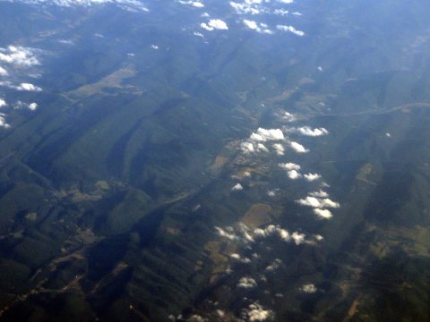
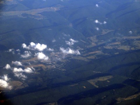
The Town of Franklin is situated in the Allegheny Mountains on the eastern edge of the Monongahela National Forest and along the South Branch of the Potomac River. This region was populated by Native American cultures for centuries prior to the arrival of English immigrants in the mid-18th century. During the French and Indian War, conflict between the early settlers and Native American populations included two battles at frontier fortifications at Upper Tract and Fort Seybert in 1758, both ten miles distant from the future location of Franklin. The land on which Franklin was laid out was first patented by brothers Francis and George Evick in 1769.

Text from Wikipedia, licensed CC BY-SA 4.0.

From the old history books

What they wrote about Franklin in 1910

Passages that mention Franklin, cut from the printed page as they were published.

Franklin is Cashier of the Bank of Franklin and has large interests in cattle. Herbert, clerk in the same bank, took the degree of B. A. from the Washington and Lee University in 1907. William B. is a large landholder and is heavily interested in the cattle business.
A history of Pendleton County, West Virginia1910 · page 175Read the page →
Read the text

Franklin is Cashier of the Bank of Franklin and has large interests in cattle. Herbert, clerk in the same bank, took the degree of B. A. from the Washington and Lee University in 1907. William B. is a large landholder and is heavily interested in the cattle business.

Text read by machine from the scan; it may contain errors.
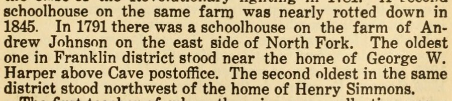
schoolhouse on the same farm was nearly rotted down in 1845. In 1791 there was a schoolhouse on the farm of Andrew Johnson on the east side of North Fork. The oldest one in Franklin district stood near the home of George W. Harper above Cave postoffice. The second oldest in the same district stood …
A history of Pendleton County, West Virginia1910 · page 125Read the page →
Read the text

schoolhouse on the same farm was nearly rotted down in 1845. In 1791 there was a schoolhouse on the farm of Andrew Johnson on the east side of North Fork. The oldest one in Franklin district stood near the home of George W. Harper above Cave postoffice. The second oldest in the same district stood northwest of the home of Henry Simmons.

Text read by machine from the scan; it may contain errors.

Scans and text from the Internet Archive. Books published in 1930 or earlier, which are in the public domain.

Timeline

Franklin, 1794 to 1990

Woven from the archive, old maps, post office records, the National Register and the people born here.

  1. 18th century
  2. 1794
    FoundingFranklin is established
  3. 19th century
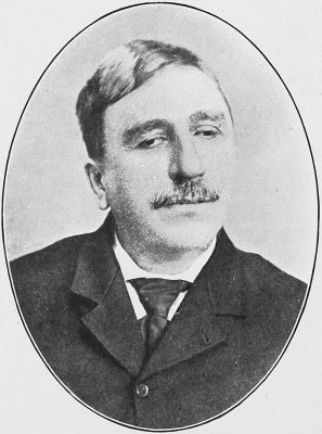
  4. 1809Born hereJohn James Dyer is born here
  5. 1827Post officeThe Franklin post office opens
  6. 1846Born hereHoward Hille Johnson is born here
  7. 20th century
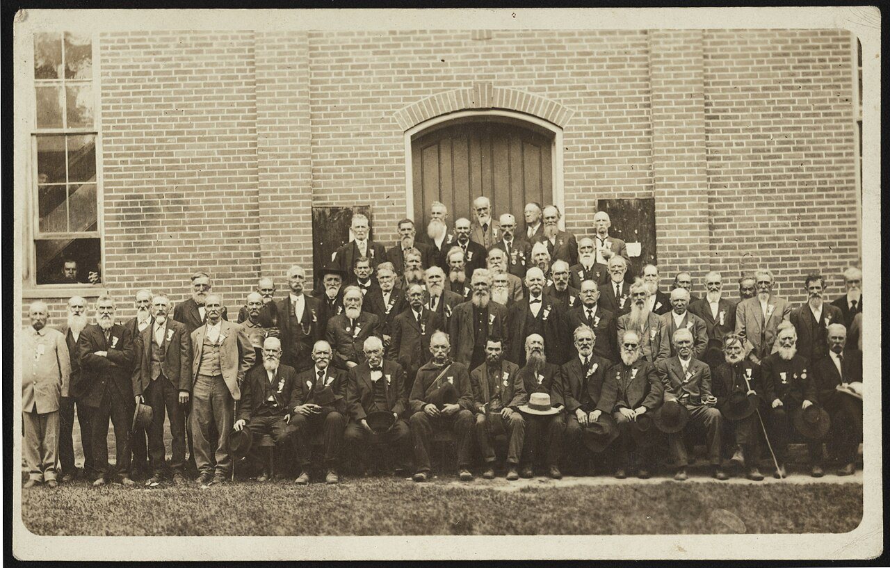
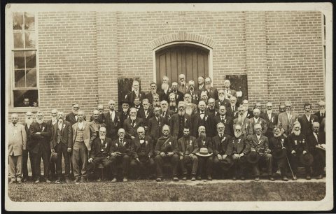
  8. 1912In the archiveReunion of Confederate veterans
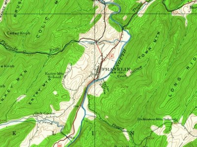
  9. 1922On the mapFirst mapped by the U.S. Geological Survey
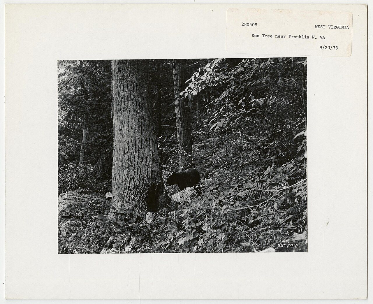
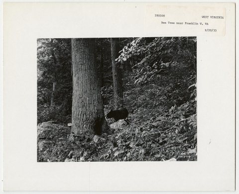
  10. 1933In the archiveAnimal: Bears - West Virginia
  11. 1973Born hereRod Smith is born here
  12. 1984Born hereJacob Owens is born here
  13. 1990CensusPopulation peaks at 914
By decade

Franklin, decade by decade

2 decades in the archive, from the 1910s to the 1930s. Scroll each row; tap a photo for its story.

1940s–1990snothing yet
Nothing in the archives for these yearsWeddings on Main Street, storms, parades, school pictures, the old store. If it’s in your family album, it belongs here.
Add from your album
On the map

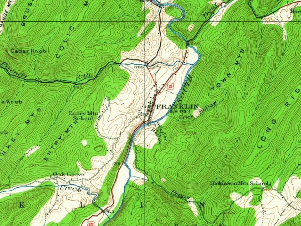
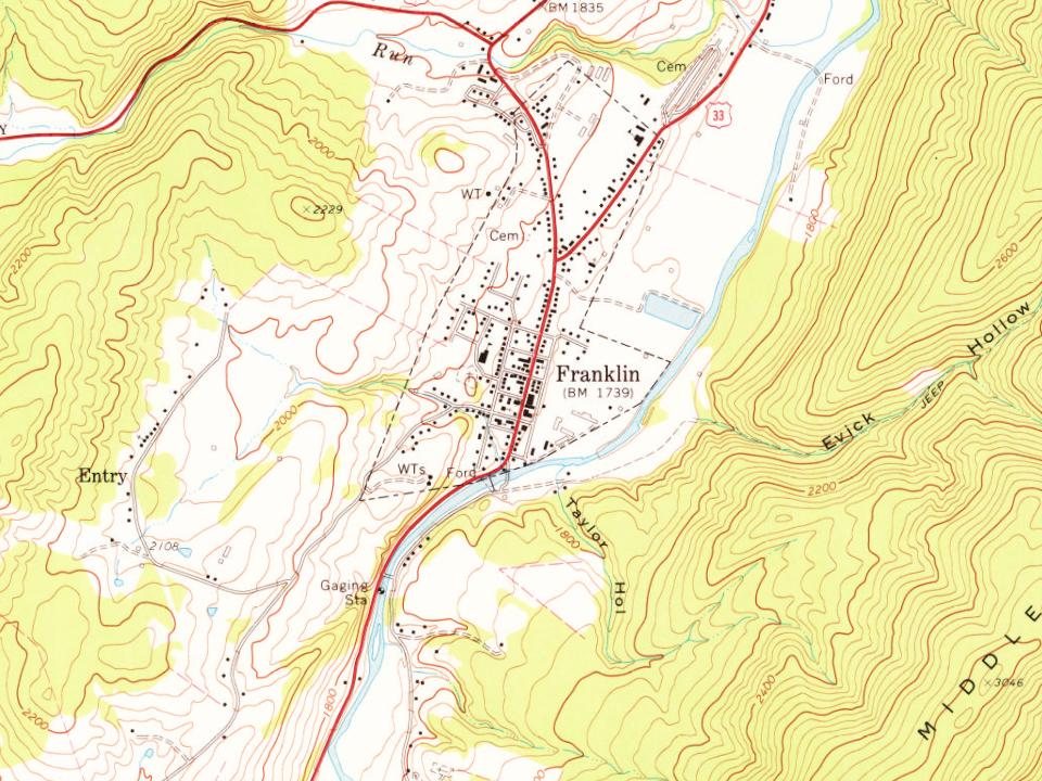
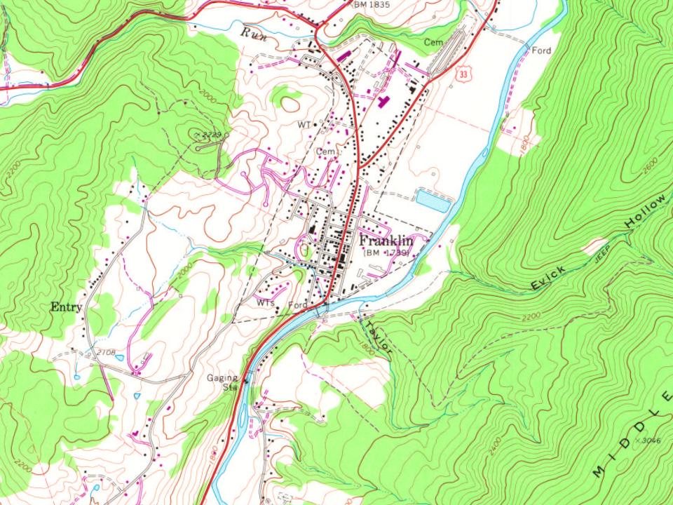
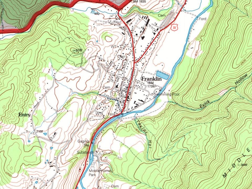
Franklin on the map, 1922 to 1995

Every edition of the U.S. Geological Survey’s map of Franklin. Tap a year, or press play to watch the town change.

Franklin on the 1922 USGS mapFranklin on the 1969 USGS mapFranklin on the 1981 USGS mapFranklin on the 1995 USGS map1922Circleville sheet · 1:62,500

U.S. Geological Survey historical topographic maps (public domain), via Esri’s collection of the scans. The red ring marks the center of Franklin.

Then & now

Stand where they stood

No then-and-now pairs yet. Take a photo from the same spot as an old one and they appear here side by side.

Reunion of Confederate veterans
Retake this viewReunion of Confederate veterans, 1912

Find the spot, match the angle, and add your photo. It becomes the first then-and-now pair on Franklin’s page.

Retake this view · +15
Famous people

4 famous people were born in Franklin

Writers, athletes, leaders and more, ranked by how widely they’re known.

See all →

Questions about Franklin’s history

What year was Franklin founded?

In 1794, according to Wikidata and Wikipedia’s history of the town. Franklin’s post office opened in 1827, and the census of 1880 counted 273 people here.

What is on the National Register in Franklin?

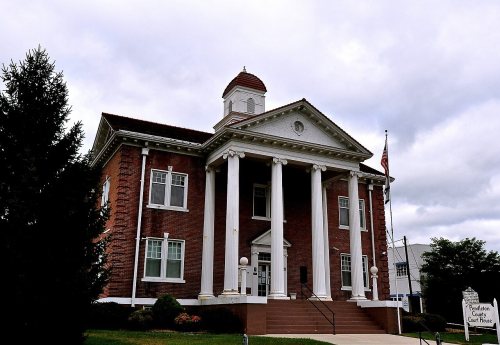
Three places: the McCoy House (listed 1982), the Franklin Historic District (1986) and the Priest Mill (2000).

Memory lane

What the archives can’t tell you, neighbors can.

Town Square →
Start a conversation
Sources

Where this page comes from

Founding dates: Wikidata, Wikipedia, the U.S. post office records of Blevins & Helbock (CC0) and the Census. Homes by year built: Census ACS 2020–24. National Register of Historic Places: National Park Service (list of May 22, 2026). Old photos, postcards and papers: Wikimedia Commons, the Library of Congress and other public archives, credited on each item’s page. Maps: U.S. Geological Survey historical topographic maps (via Esri) and Sanborn fire-insurance maps (Library of Congress). History text and census tables: Wikipedia (CC BY-SA 4.0). Places that used to be: USGS Geographic Names Information System (2021). How TownRatings grades history →

From Wikimedia Commons (11), the National Register of Historic Places (3), Wikipedia, Wikidata and Wikipedia for famous people, U.S. Geological Survey historical maps, U.S. Census counts (via Wikipedia), the US Post Offices dataset (Blevins & Helbock), the USGS Geographic Names Information System and old county and town histories (Internet Archive). Archive images are copied here with their credits and licenses, shown on each photo’s page. Refreshed monthly.