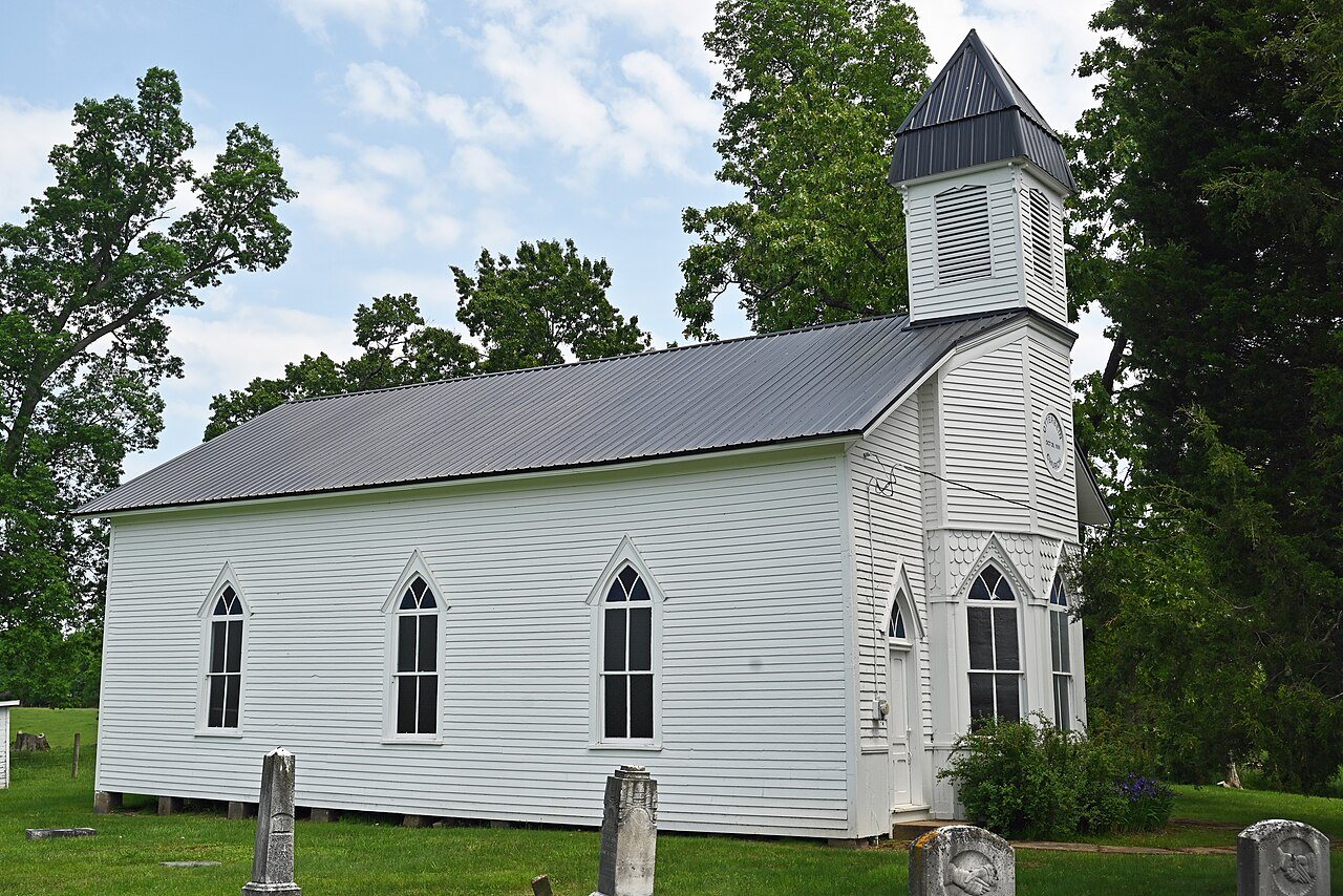
The Cottageville post office opened in 1860, the earliest record of the town by name. Two smaller post offices, Wrights Mills (1828) and Moores Mills (1850), opened inside today’s town and later closed.
2020 census: 114166 years
Founding year: the first Cottageville post office (Blevins & Helbock, CC0).
What stands out about Cottageville’s past
Read from the archive, the National Register and the record. The page puts what stands out first.
Cottageville’s post office has been open since 1860. Two other post offices opened and closed inside today’s town.
Wrights Mills
1828–1850
Moores Mills
1850–1860
Cottageville
1860–today
18201920today
US Post Offices dataset (Blevins & Helbock, CC0). Places and cemeteries from the USGS Geographic Names Information System (2021).
On the map
Cottageville on the map, 1908 to 1989
Every edition of the U.S. Geological Survey’s map of Cottageville. Tap a year, or press play to watch the town change.
1908Ravenswood sheet · 1:62,500
U.S. Geological Survey historical topographic maps (public domain), via Esri’s collection of the scans. The red ring marks the center of Cottageville.
The story so far
Cottageville, in brief
Wikipedia doesn’t have a history of Cottageville yet. The photos, dates and memories neighbors add here are how it gets written.
Cottageville (also Moores Mill, Rhodess Mill, or Wrights Mill) is an unincorporated community in western Jackson County, West Virginia, United States. It lies along West Virginia Route 331 northwest of the city of Ripley, the county seat of Jackson County. Established in 1858, its elevation is 594 feet (181 m). Although Cottageville is unincorporated, it has a post office, with the ZIP code of 25239. As of the 2020 census, Cottageville had a population of 114. It also is the site of the annual Jackson County Junior Fair. Michael Coleman, a well known early Indian fighter, was killed and buried in the area, according to a historical marker placed by the state of WV. The wooden Grist Mill loc…
Its first post office opened in 1860.
Intro from Wikipedia. Population: U.S. Census Bureau.
Timeline
Cottageville, 1828 to 1912
Woven from the archive, old maps, post office records, the National Register and the people born here.
Founding dates: Wikidata, Wikipedia, the U.S. post office records of Blevins & Helbock (CC0) and the Census. Homes by year built: Census ACS 2020–24. National Register of Historic Places: National Park Service (list of May 22, 2026). Old photos, postcards and papers: Wikimedia Commons, the Library of Congress and other public archives, credited on each item’s page. Maps: U.S. Geological Survey historical topographic maps (via Esri) and Sanborn fire-insurance maps (Library of Congress). History text and census tables: Wikipedia (CC BY-SA 4.0). Places that used to be: USGS Geographic Names Information System (2021). How TownRatings grades history →
From Wikidata and Wikipedia for famous people, U.S. Geological Survey historical maps, the US Post Offices dataset (Blevins & Helbock) and the USGS Geographic Names Information System. Archive images are copied here with their credits and licenses, shown on each photo’s page. Refreshed monthly.