Fire insurance maps drew every building, what it was made of and what it was used for, so insurers could price the risk of fire. Pick a year, then a sheet.
1894Sheet 1 of 1
Edition
Sheets
BrickWoodStone
Sanborn Map Company, via the Library of Congress. Editions published in 1930 or earlier, which are in the public domain.
The village was originally settled and laid out by Hungarian-American immigrant Agoston Haraszthy. It was first named "Széptáj"—Hungarian for "beautiful landscape"—and was later renamed "Haraszthy", in honor of the village founder. In 1849, the Legislature renamed the village "Westfield".
Passages that mention Westfield, cut from the printed page as they were published.
History and genealogy of the family of Thomas Noble of Westfield, Massachusetts1878 · page 605Read the page →
Read the text
Oborox Wabhinoton Noblb, s. of Samuel, was b. in Westfield, Mass., Aug. 6, 1798, and there d. Not. 9, 1871, m. 73. He was a farmer, and resided one mile west of Morley*s bridge, in Westfield, on his father's homestead, near the County bridge.
Text read by machine from the scan; it may contain errors.
History and genealogy of the family of Thomas Noble of Westfield, Massachusetts1878 · page 223Read the page →
Read the text
RuTB NoBLX, dau. of Ideut Stephen, was b. in Westfield, Mass., June 1, 1756, and d. in Montgomery, Mass., Nov. 16, 1790, sb. 34. * She m. 1779, Mastim Boot of Westfield; s. of Martin and Eunice (Lamb) Boot He was b. Feb. 20, 1 753, accd. to the family record, but Mch. 11, 1753, accd. to the record of the town of Westfield.
Text read by machine from the scan; it may contain errors.
Scans and text from the Internet Archive. Books published in 1930 or earlier, which are in the public domain.
Timeline
Westfield, 1868 to 1961
Woven from the archive, old maps, post office records, the National Register and the people born here.
Founding dates: Wikidata, Wikipedia, the U.S. post office records of Blevins & Helbock (CC0) and the Census. Homes by year built: Census ACS 2020–24. National Register of Historic Places: National Park Service (list of May 22, 2026). Old photos, postcards and papers: Wikimedia Commons, the Library of Congress and other public archives, credited on each item’s page. Maps: U.S. Geological Survey historical topographic maps (via Esri) and Sanborn fire-insurance maps (Library of Congress). History text and census tables: Wikipedia (CC BY-SA 4.0). Places that used to be: USGS Geographic Names Information System (2021). How TownRatings grades history →
From Wikimedia Commons (12), Wikipedia, U.S. Geological Survey historical maps, U.S. Census counts (via Wikipedia), the US Post Offices dataset (Blevins & Helbock), the USGS Geographic Names Information System, Sanborn fire insurance maps (Library of Congress) and old county and town histories (Internet Archive). Archive images are copied here with their credits and licenses, shown on each photo’s page. Refreshed monthly.


 2014
 2014
 2014
 2014
 2014
 2014
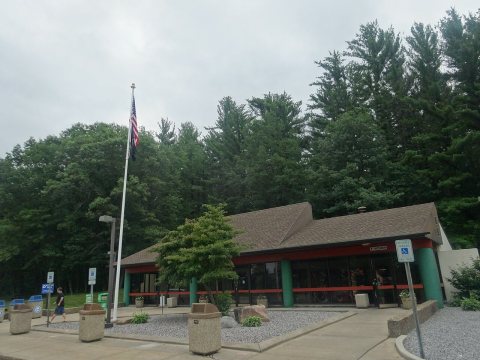 2014
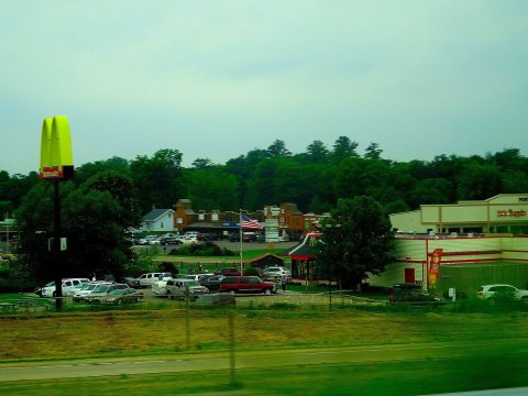 2014
 2014
 2014
 2014
 2014

