Wausau’s post office opened in 1850, and 24% of its homes were built before 1940
More historic than 80% of U.S. towns · #81 of 362 in Wisconsin. What drives it
22 places in town are on the National Register, among them three historic districts with 236 buildings between them. Below: maps from 1884 on and the census since 1860.
Founding year: the first Wausau post office (Blevins & Helbock, CC0).The full story ↓
History grade
What drives Wausau’s History grade
On its age, its old homes and the National Register, Wausau is more historic than 80% of U.S. towns, #81 of 362 in Wisconsin. Its National Register listings hold the grade up; its age pulls it down.
A−
HistoryA character grade: shown, never part of Wausau’s overall grade.
Wisconsin towns list more on the Register than most of the country (a typical Wisconsin town has 3.0 per 10,000 residents, the U.S. 2.4), so Wausau’s 64.3 sits above most of its state (91% of Wisconsin towns have fewer) while its 257 historic buildings outnumber those of 95% of U.S. towns.
How sure. Graded on any two of the three inputs instead, the letter would range from B to A. The pre-1940 share (±2.3 points) is firm at this size. The founding year is the first post office, not a stated founding date.
Founding year: the first post office (other dates in Quick answers). Homes: Census ACS 2020–24. National Register: National Park Service, May 2026 list; each listing counted once (boundary changes and added documentation belong to their listing), and a historic district counts its contributing buildings. How TownRatings grades history →
What stands out about Wausau’s past
Read from the archive, the National Register and the record. The page puts what stands out first.
This area has for millennia changed hands between various indigenous peoples. The Ojibwe (also known in the United States as the Chippewa) occupied it in the period of European encounter. They had a lucrative fur trade for decades with French colonists and French Canadians. After the French and Indian War this trade was dominated by British-American trappers from the eastern seaboard.
of the county of iMarathon as hereinafter sfet fortla, said Wisconsin Valley Railroad Company hereby promises and agrees to build, construct and operate a first class railroad with all necessary equipments, turnouts, culverts, bridges, stations and depots, from Centralia in the county of Wood to the city of Wausau in the county of Marathon, said railroad to be completed and the cars run over the same for ordinary railroad business from Centralia to the city of Wausau before the close of the year 1874; "That there shall be a station on said railroad in range 6 or range 7 in township 26 and said line of railroad shall touch at a point and have a station within three-
Text read by machine from the scan; it may contain errors.
Wilde, Charles Wilde, John Nass, and F. Lemke. The first parsonage was built in 1 881, during the pastorate of Rev. John Beinert, who resided in the town of Main. Rev. Gustav Magdsick was the first German Methodist Episcopal church pastor who resided here in the city of Wausau, having been sent here in the fall of 1881. Sen-ices were held regularly in the city of Wausau, town of Wausau, and town of Texas. The present church edifice was erected in 1900, Rev. H. F. Mueller being the pastor from 1897 to 1902.
Text read by machine from the scan; it may contain errors.
Scans and text from the Internet Archive. Books published in 1930 or earlier, which are in the public domain.
Timeline
Wausau, 1850 to 2001
Woven from the archive, old maps, post office records, the National Register and the people born here.
Every edition of the U.S. Geological Survey’s map of Wausau. Tap a year, or press play to watch the town change.
1963Wausau West sheet · 1:24,000
U.S. Geological Survey historical topographic maps (public domain), via Esri’s collection of the scans. The red ring marks the center of Wausau.
Every building
Wausau, building by building, 1884–1912
Fire insurance maps drew every building, what it was made of and what it was used for, so insurers could price the risk of fire. Pick a year, then a sheet.
The Wausau post office opened in 1850, the earliest record of the town by name (U.S. post office records).
How does Wausau rank for history?
Wausau is more historic than 80% of U.S. towns, #81 of 362 in Wisconsin. The History grade combines the town’s founding era, the share of homes built before 1940 and its National Register listings. It’s a character grade, so it isn’t part of the overall grade. How it works.
What is on the National Register in Wausau?
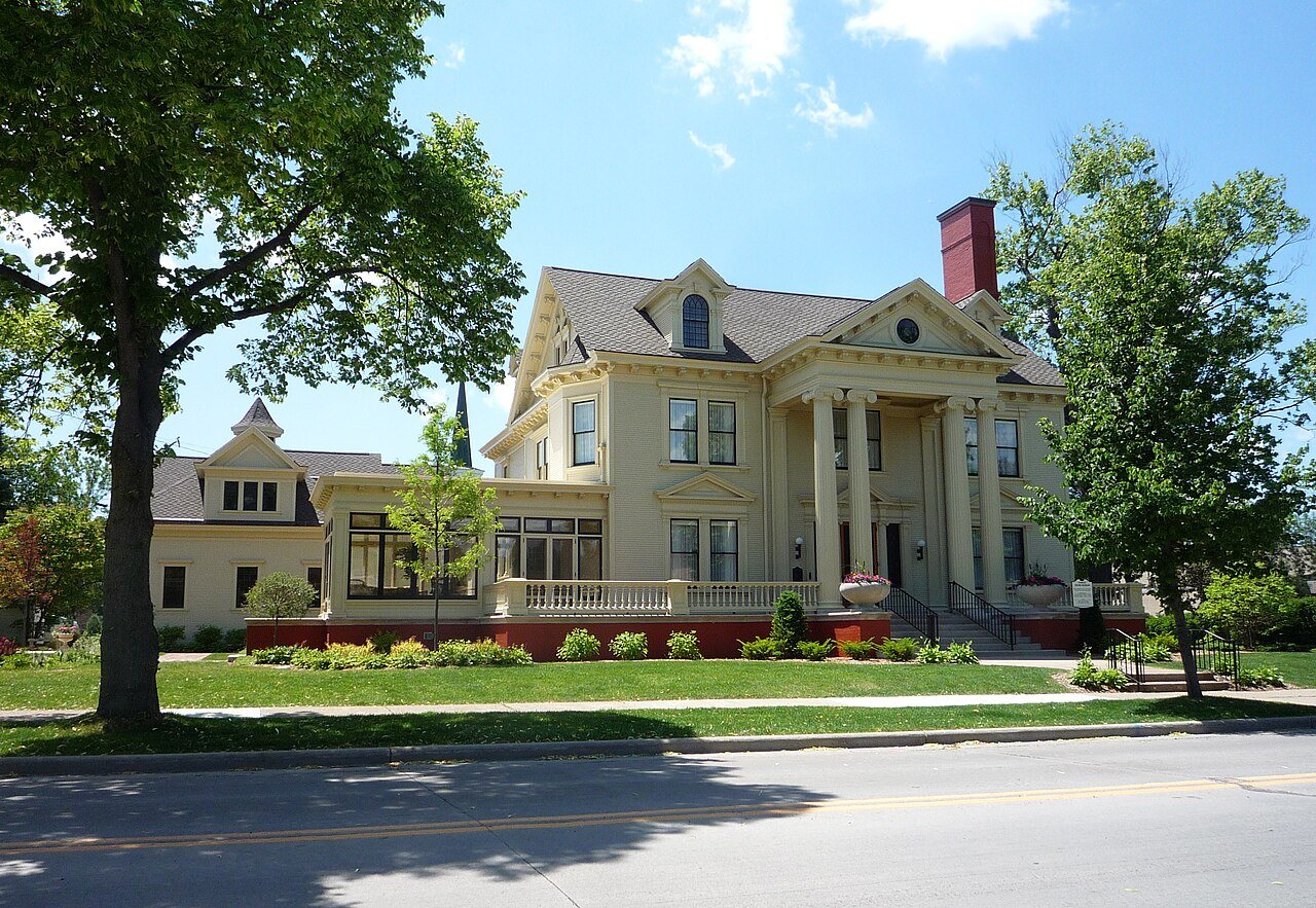
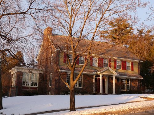
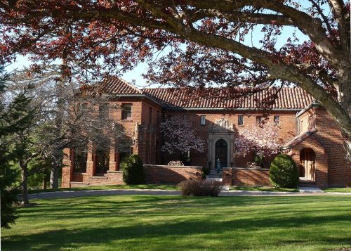
22 listings: 18 buildings, among them the Hiram C. Stewart House (listed 1974, the first), 3 historic districts, the East Hill Residential Historic District, the Andrew Warren Historic District and the Highland Park Historic District, with 236 contributing buildings, and 1 structure. 257 historic buildings in all.
How old are the homes in Wausau?
24% of Wausau’s homes were built before 1940 (Census estimate, ±2.3 points), against a typical 12% for a Wisconsin town; the median home was built in 1963.
Founding dates: Wikidata, Wikipedia, the U.S. post office records of Blevins & Helbock (CC0) and the Census. Homes by year built: Census ACS 2020–24. National Register of Historic Places: National Park Service (list of May 22, 2026). Old photos, postcards and papers: Wikimedia Commons, the Library of Congress and other public archives, credited on each item’s page. Maps: U.S. Geological Survey historical topographic maps (via Esri) and Sanborn fire-insurance maps (Library of Congress). History text and census tables: Wikipedia (CC BY-SA 4.0). Places that used to be: USGS Geographic Names Information System (2021).
From Wikidata (6), the National Register of Historic Places (22), Wikipedia, Wikidata and Wikipedia for famous people, U.S. Geological Survey historical maps, U.S. Census counts (via Wikipedia), the US Post Offices dataset (Blevins & Helbock), the USGS Geographic Names Information System, Sanborn fire insurance maps (Library of Congress) and old county and town histories (Internet Archive). Archive images are copied here with their credits and licenses, shown on each photo’s page. Refreshed monthly.