Founding year: the first Waterloo post office (Blevins & Helbock, CC0).
History grade
What drives Waterloo’s History grade
On its age, its old homes and the National Register, Waterloo is more historic than 95% of U.S. towns, #13 of 362 in Wisconsin. All 3 inputs are above most U.S. towns; its share of homes from before 1940 ranks highest and its age lowest.
A
HistoryA character grade: shown, never part of Waterloo’s overall grade.
Wisconsin towns list more on the Register than most of the country (a typical Wisconsin town has 3.0 per 10,000 residents, the U.S. 2.4), so Waterloo’s 83.3 sits above most of its state (93% of Wisconsin towns have fewer) while its 30 historic buildings outnumber those of 82% of U.S. towns.
How sure. Graded on any two of the three inputs instead, the letter would still be A. The pre-1940 share is a Census survey estimate (±8.9 points). The founding year is the first post office, not a stated founding date.
Founding year: the first post office (other dates in Quick answers). Homes: Census ACS 2020–24. National Register: National Park Service, May 2026 list; each listing counted once (boundary changes and added documentation belong to their listing), and a historic district counts its contributing buildings. How TownRatings grades history →
What stands out about Waterloo’s past
Read from the archive, the National Register and the record. The page puts what stands out first.
Every edition of the U.S. Geological Survey’s map of Waterloo. Tap a year, or press play to watch the town change.
1891Waterloo sheet · 1:62,500
U.S. Geological Survey historical topographic maps (public domain), via Esri’s collection of the scans. The red ring marks the center of Waterloo.
Every building
Waterloo, building by building, 1894–1924
Fire insurance maps drew every building, what it was made of and what it was used for, so insurers could price the risk of fire. Pick a year, then a sheet.
Sanborn Map Company, via the Library of Congress. Editions published in 1930 or earlier, which are in the public domain.
The story so far
Waterloo, in brief
Wikipedia doesn’t have a history of Waterloo yet. The photos, dates and memories neighbors add here are how it gets written.
Waterloo is a city in Jefferson County, Wisconsin, United States. The population was 3,628 at the 2020 census. The name Waterloo was suggested by a French resident who was one of Napoleon's soldiers at the Battle of Waterloo. Waterloo is located in the Watertown–Fort Atkinson micropolitan area. The city is the home of Trek Bicycle Corporation.
Its first post office opened in 1847. Between the 2010 and 2020 censuses its population grew from 3,333 to 3,492 (+5%).
Intro from Wikipedia. Population: U.S. Census Bureau.
From the old history books
What they wrote about Waterloo, 1879–1915
Passages that mention Waterloo, cut from the printed page as they were published.
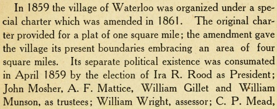
In 1 859 the village of Waterloo was organized under a special charter which was amended in 1861. The original charter provided for a plat of one square mile ; the amendment gave the village its present boundaries embracing an area of four square miles. Its separate political existence was consumated in April 1859 by the election of Ira R. Rood as President; John Mosher. A. F. Mattice, William Gillet and William Munson, as trustees; William Wright, assessor; C. P. Mead,
Text read by machine from the scan; it may contain errors.
Berry and John Berry from Saxony, who took up lands on Section 9, later known as the Sheridan farm. Their appearance marked the beginning of the end of the ownership of the town of Waterloo by the sons and daughters of the American Revolution. About the same time, Bernard and Thomas Heil located on The Island on Section 17, and in 1847, John Sheridan located on Section 9. The buying out process was thus begun and has continued until few bearing the names of
Text read by machine from the scan; it may contain errors.
The history of Jefferson county, Wisconsin, containing ... biographical sketches ..1879 · page 316Read the page →
Read the text
On the north side of Red Cedar Lake, in the town of Oakland, and in the vicinity on the west, the lower beds are displayed, showing a somewhat less firm rock than usual. The most interesting exposure of the Trenton limestone, in the town of Waterloo, is at the quarry of David Crump, in Section 35. The lower four feet are of thick bedded, very serviceable rock, above which lies one foot of thin shaly stone, succeeded by six feet of somewhat irregular layers of medium thickness, upon which are two feet of even bedded stone, overlaid by two and a half feet of thin, greenish, shaly material. The lower portion is to be regardeii as representing the Lower Buff layers, and the upper ones the Lower Blue limestone.
Text read by machine from the scan; it may contain errors.
The history of Jefferson county, Wisconsin, containing ... biographical sketches ..1879 · page 566Read the page →
Read the text
A man named Edwards was the first settler in the town of Waterloo. He came in 183 and located in the east part of the town, near the Crawfisli. The first town meeting was held at Aztalan, to which Waterloo belonged, in 1842.
Text read by machine from the scan; it may contain errors.
Scans and text from the Internet Archive. Books published in 1930 or earlier, which are in the public domain.
Timeline
Waterloo, 1847 to 1956
Woven from the archive, old maps, post office records, the National Register and the people born here.
The Waterloo post office opened in 1847, the earliest record of the town by name (U.S. post office records).
How does Waterloo rank for history?
Waterloo is more historic than 95% of U.S. towns, #13 of 362 in Wisconsin. The History grade combines the town’s founding era, the share of homes built before 1940 and its National Register listings. It’s a character grade, so it isn’t part of the overall grade. How it works.
What is on the National Register in Waterloo?
Two places: the City of Waterloo Carousel (listed 1997) and the Waterloo Downtown Historic District (2000).
How old are the homes in Waterloo?
32% of Waterloo’s homes were built before 1940 (Census estimate, ±8.9 points), against a typical 12% for a Wisconsin town; the median home was built in 1965.
Founding dates: Wikidata, Wikipedia, the U.S. post office records of Blevins & Helbock (CC0) and the Census. Homes by year built: Census ACS 2020–24. National Register of Historic Places: National Park Service (list of May 22, 2026). Old photos, postcards and papers: Wikimedia Commons, the Library of Congress and other public archives, credited on each item’s page. Maps: U.S. Geological Survey historical topographic maps (via Esri) and Sanborn fire-insurance maps (Library of Congress). History text and census tables: Wikipedia (CC BY-SA 4.0). Places that used to be: USGS Geographic Names Information System (2021).
From Wikimedia Commons (5), Wikidata (1), the National Register of Historic Places (2), Wikidata and Wikipedia for famous people, U.S. Geological Survey historical maps, U.S. Census counts (via Wikipedia), the US Post Offices dataset (Blevins & Helbock), the USGS Geographic Names Information System, Sanborn fire insurance maps (Library of Congress) and old county and town histories (Internet Archive). Archive images are copied here with their credits and licenses, shown on each photo’s page. Refreshed monthly.




 2007
 2007
 2007
 2007
 2007
