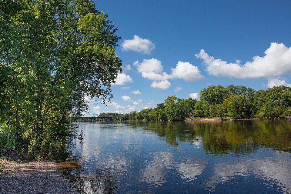
St. Croix Falls in pictures
Census counts: 288 in 1870, 2,208 in 2020. The archive holds 11 old photos and papers going back to 1882 and 2 maps from 1974 on.
1 place on the National Register of Historic Places.
Explore the history →Each edition grades its towns against each other only.
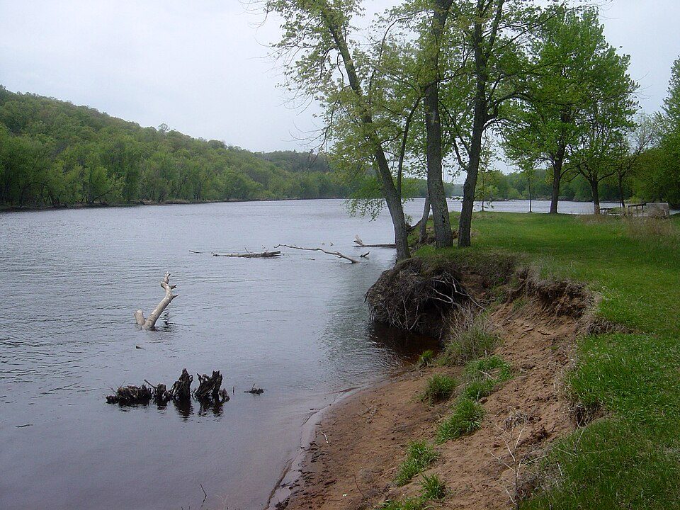
1,171 residents make their home in this town in Wisconsin. 2.3 times the nonprofits per person than the typical Wisconsin town.
The best of St. Croix Falls’ subject grades is an A+ for civic life. No town among the 363 in Wisconsin we compare has a lower share of working residents who work in town than St. Croix Falls. St. Croix Falls’ midpoint age is 51.6 years, where Wisconsin’s towns sit at 42.1 years and U.S. towns at 40.5 years. Only 19 of Wisconsin’s 869 towns score higher on civic life. Interstate Park, at 654 acres with 4.7 miles of trail, is the biggest park or preserve. St. Croix Falls has fewer than 2,500 residents, so it gets subject grades but no overall grade.
Where St. Croix Falls beats most towns.
In a town this size, neighbors are the best guide. Ask them anything.
Each subject compared with towns across the country (schools within Wisconsin), ordered by how far St. Croix Falls is from typical.
How TownRatings grades towns →
Census counts: 288 in 1870, 2,208 in 2020. The archive holds 11 old photos and papers going back to 1882 and 2 maps from 1974 on.
1 place on the National Register of Historic Places.
Explore the history →Who provides power, water and the rest in St. Croix Falls, and how to reach them.
EPA SDWIS (Oct 9, 2026) · HIFLD + EIA-861 2025 · Census 2020 ZCTAs · NCES 2024–25 · registration: vote.gov, updated Nov 18, 2024.
Ordered by what stands out in St. Croix Falls.
St. Croix Falls’ natural-hazard score from FEMA is 19 of 100. Just over a third of the town’s expected losses from natural hazards come from cold waves, followed by inland flooding at 30%. Expected storm and flood damage is lower than in 81% of U.S. communities.
FEMA National Risk Index · OpenFEMA
In St. Croix Falls, 13% of residents live below the poverty line. For most workers, St. Croix Falls is a place to come home to: only 1% work in town. Jobs based locally fell to 407 in 2023, 210 fewer than in 2013. St. Croix Falls’ average commute comes in at 30 minutes.
| St. Croix Falls | Wisconsin towns | U.S. towns | |
|---|---|---|---|
| Average trip to work | 30 minutes | 22 minutes | 25 minutes |
| Below the poverty line | 13% | 6.4% | 9.6% |
Census LEHD 2023 · ACS
St. Croix Falls’ peak summer temperature stands at 80°F.
NOAA U.S. Climate Normals, 1991–2020
There are 8.8 miles of trail across 6 parks and preserves. Parks and preserves in St. Croix Falls: 6, covering 1,139 acres. In St. Croix Falls, the trail density is 0.3 miles per square mile.
| St. Croix Falls | Wisconsin towns | U.S. towns | |
|---|---|---|---|
| Conserved land | 6.5% | 3.8% | 4.3% |
| Miles of trail per square mile | 0.3 miles per square mile | 0.4 | 0.4 |
| Biggest places to walk | Trails | Acres |
|---|---|---|
| 1. Interstate Park | 4.7 mi | 654 |
| 2. Saint Croix National Scenic Riverway | 1.5 mi | 234 |
| 3. Deer Lake Conservancy | — | 231 |
Trails & parks © OpenStreetMap contributors · Conserved land: USGS PAD-US
15% of adults smoke cigarettes in St. Croix Falls. Two figures for adults in the town: 13% have diabetes, 37% have high blood pressure.
| St. Croix Falls | Wisconsin towns | U.S. towns | |
|---|---|---|---|
| Sleep under 7 hours (CDC PLACES) | 28% | 32% | 36% |
| Diabetes (CDC PLACES) | 13% | 11% | 12% |
| High blood pressure (CDC PLACES) | 37% | 33% | 35% |
| Binge drink (CDC PLACES) | 18% | 20% | 16% |
| What stands out | St. Croix Falls | WI |
|---|---|---|
| More adults with COPD | 8% | 6.5% |
| More adults with arthritis | 32.4% | 26.6% |
| More adults with heart disease | 8% | 6.6% |
CDC PLACES 2025 · modeled estimates for adults · CMS · HRSA
Museums, parks, gardens and other places to visit around St. Croix Falls. Close and well known come first.
in town National park siteLower Saint Croix National Scenic Riverway799K visitors a year
7 mi MuseumFranconia Sculpture Park
40 mi National RiverMississippi National River and Recreation Area225K visitors a year37 mi MuseumGolden Wings Flying Museum
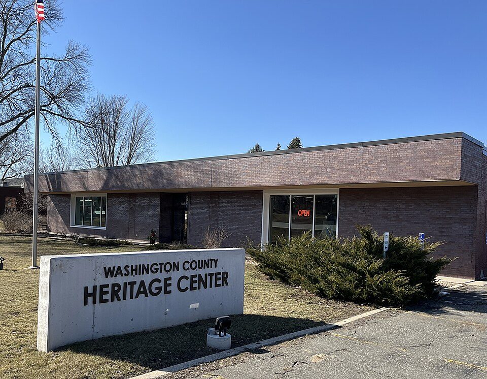
28 mi MuseumWashington County Historical Society, Minnesota
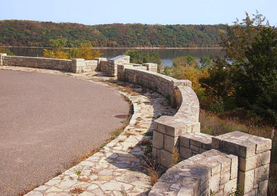
29 mi AttractionStillwater OverlookLower Saint Croix National Scenic Riverway: Bobak Ha'Eri, CC BY 3.0 · Franconia Sculpture Park: McGhiever, CC BY-SA 4.0 · Mississippi National River and Recreation Area: NPS/Gordon Dietzman, Public domain · Washington County Historical Society, Minnesota: Heritage Preservation Department - MNHS, CC BY-SA 2.0 · Stillwater Overlook: McGhiever, CC BY-SA 3.0
1 within 15 miles of the center of St. Croix Falls
About 2 of every 100 St. Croix Falls residents are enrolled in college, against 6 across Wisconsin.
Where St. Croix Falls’s working residents go each day. Line width shows the share.
Census LEHD 2023
5 notable people were born in St. Croix Falls.
City in Wisconsin, United States
St. Croix Falls is a city in Polk County, Wisconsin, United States. The population was 2,208 at the 2020 census. The city is located within the Town of St. Croix Falls along the St. Croix River, from which it takes its name. U.S. Route 8, Wisconsin Highway 35, and Wisconsin Highway 87 are three of the main arterial routes in the city.
From Wikipedia, licensed CC BY-SA 4.0 · facts via Wikidata (CC0)
Short answers, built from the data on this page.
2.3 times the nonprofits per person than the typical Wisconsin town.
Cost of living, which also weighs rents, property taxes and how many households pay 30% or more of their income for housing, grades C+.
St. Croix Falls has 1 place on the National Register of Historic Places. 5 notable people were born here, including James Breck Perkins and Hugh P. Baker.