The town was named after James Shields, a general during the Mexican War and a United States senator who represented the states of Illinois, Minnesota, and Missouri.
Passages that mention Shields, cut from the printed page as they were published.
The history of Dodge county, Wisconsin, containing ... its early settlement, growth ... an extensive and minute sketch of its cities ... war record, biographical sketches1880 · page 311Read the page →
Read the text
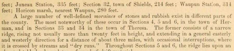
feet; Juneau Station, 335 feet; Section 32, town of Shields, 214: feet; Waupun Station, 314 feet; Horicon marsh, nearest Waupun, 280 feet. A hirge number of well-defined moraines of stones and rubbish exist in diflerent parts of the county. The most noteworthy of these occur in Sections 4, 5 and 6, in the town of Herman, and in Sections 33 and 34 in the town of Theresa. The former consists of a narrowridge, rising not usually more than twenty feet in height, and extending in a general easterly and westerly direction for a distance of about three miles, with occasional interruptions, where it is crossed by streams and "dry runs." Througliout Sections 5 and 6, the ridge lies upon an
Text read by machine from the scan; it may contain errors.
The history of Dodge county, Wisconsin, containing ... its early settlement, growth ... an extensive and minute sketch of its cities ... war record, biographical sketches1880 · page 405Read the page →
Read the text
As Indian stories are always appreciated, we give the following as narrated to us by one who knows : In 1850, quite a number of Indians lived in the town of Shields. They were not disposed to be particularly mischievous, except when their rights were infringed, and a friendly feelino; existed between them and the whites. The nominal chief of this tribe was the husband of a lovely squaw. The town of Shields also boasted a militia company, which had on various occasions made itself efficient in preventing outbreaks on the part of the Imlians, and that militia company had a captain, John D. Griffin, who was on the best of terms with his dusky neighbors.
Text read by machine from the scan; it may contain errors.
The History of Dodge County, Wisconsin, containing a history of Dodge County, its early settlement, growth, development, resources, etc1880 · page 405Read the page →
Read the text
As Indian stories are always appreciated, we give the following as narrated to us by one who knows : In 1850, quite a number of Indians lived in the town of Shields. They were not disposed to be particularly mischievous, except when their rights were infringed, and a friendlj* feeling existed between them and the whites. The nominal chief of this tribe was the husband of a lovely squaw. The town of Shields also boasted a militia company, which had on various occasions made itself efficient in preventing outbreaks on the part of the Indians, and that militia company had a captain, John D. Griffin, who was on the best of terms with his dusky neighbors.
Text read by machine from the scan; it may contain errors.
Scans and text from the Internet Archive. Books published in 1930 or earlier, which are in the public domain.
By decade
No old photos in the archives yet
Weddings on Main Street, storms, parades, school pictures, the old store. If it’s in your family album, it belongs here.
Be the first to add onePhotograph a print flat, in daylight, no flash.
Founding dates: Wikidata, Wikipedia, the U.S. post office records of Blevins & Helbock (CC0) and the Census. Homes by year built: Census ACS 2020–24. National Register of Historic Places: National Park Service (list of May 22, 2026). Old photos, postcards and papers: Wikimedia Commons, the Library of Congress and other public archives, credited on each item’s page. Maps: U.S. Geological Survey historical topographic maps (via Esri) and Sanborn fire-insurance maps (Library of Congress). History text and census tables: Wikipedia (CC BY-SA 4.0). Places that used to be: USGS Geographic Names Information System (2021). How TownRatings grades history →
From Wikidata (1), the National Register of Historic Places (1), Wikipedia, U.S. Geological Survey historical maps, the USGS Geographic Names Information System and old county and town histories (Internet Archive). Archive images are copied here with their credits and licenses, shown on each photo’s page. Refreshed monthly.