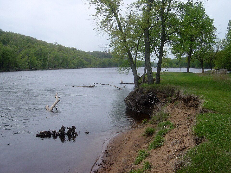
The nearest draw to Rice Lake: Saint Croix National Scenic Riverway, 29 mi away
Around 852K people visit Saint Croix National Scenic Riverway each year. Nothing is mapped inside Rice Lake, but 2 places to visit are within 40 miles. Among them are a national park site and a museum. Further afield, Carson Park is 48 mi from the centre.
Lower Saint Croix National Scenic Riverway
Protected area in Minnesota and Wisconsin, United States.
The towns around it, and where to stay →
Where things are
The map ends at Saint Croix National Scenic Riverway, 29 mi out.
Orange: Rice Lake. Numbers: the best-known places, matching the list below. © OpenStreetMap contributors
Both on the list
These 8 are within 60 miles, none in town.
 1
Lower Saint Croix National Scenic Riverway
Protected area in Minnesota and Wisconsin, United States.
 3
 4
 5
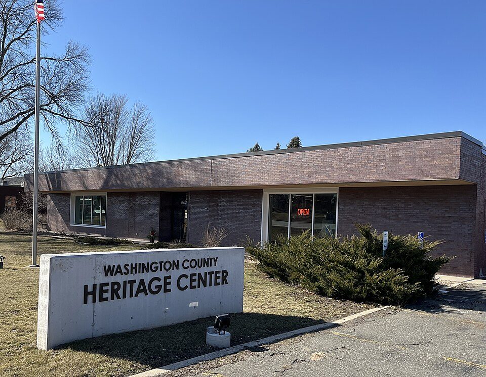
Washington County Historical Society, Minnesota
Organization in Minnesota, US.
 8
Ranked by how many people look them up, so the famous places lead and the local favorites follow.
Parks and trails in Rice Lake →
Photo credits
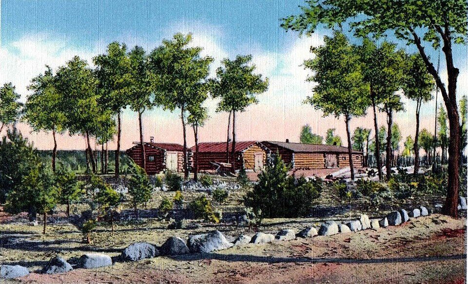
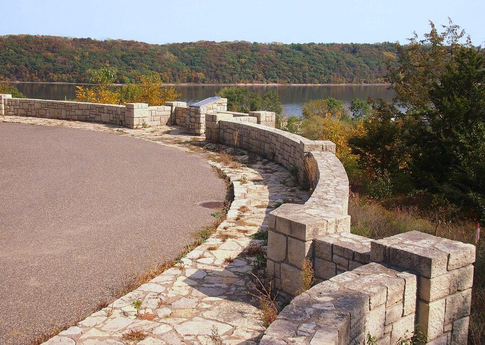
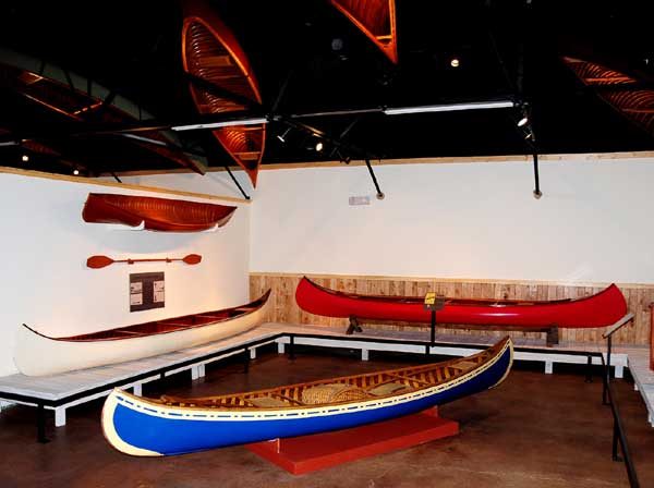
Carson Park: Unknown authorUnknown author, Public domain · Lower Saint Croix National Scenic Riverway: Bobak Ha'Eri, CC BY 3.0 · Franconia Sculpture Park: McGhiever, CC BY-SA 4.0 · Stillwater Overlook: McGhiever, CC BY-SA 3.0 · Washington County Historical Society, Minnesota: Heritage Preservation Department - MNHS, CC BY-SA 2.0 · Wisconsin Canoe Heritage Museum: Somewhere On The Road of Life at en.wikipedia, Attribution


