On its age, its old homes and the National Register, Plymouth is more historic than 54% of U.S. towns, #191 of 362 in Wisconsin. Its share of homes from before 1940 holds the grade up; its age pulls it down.
B−
HistoryA character grade: shown, never part of Plymouth’s overall grade.
Wisconsin towns list more on the Register than most of the country (a typical Wisconsin town has 3.0 per 10,000 residents, the U.S. 2.4), so Plymouth’s 3.3 sits near the middle of its state (63% of Wisconsin towns have fewer) while its 1 listings outnumber those of 51% of U.S. towns.
NoteThe founding year comes from Wikipedia alone; no second source gives 1877.
How sure. Graded on any two of the three inputs instead, the letter would range from C+ to B+. The pre-1940 share is a Census survey estimate (±12.1 points).
Founding year: Wikipedia (other dates in Quick answers). Homes: Census ACS 2020–24. National Register: National Park Service, May 2026 list; each listing counted once (boundary changes and added documentation belong to their listing), and a historic district counts its contributing buildings. How TownRatings grades history →
What stands out about Plymouth’s past
Read from the archive, the National Register and the record. The page puts what stands out first.
Fire insurance maps drew every building, what it was made of and what it was used for, so insurers could price the risk of fire. Pick a year, then a sheet.
Plymouth was surveyed in 1835 by United States General Land Office surveyors. The Mullet river was named after one of the surveyors. The first land sold to a private party was sold on August 13, 1836 to Englishman John Law, who had emigrated from London. The next sale was to Thomas Margrave, also from London. Settlers continued arriving, leading to the Town of Plymouth being organized on April 3, 1849. In the 1840s a group of migrants arrived from Tioga County, Pennsylvania. The Thorpe family arrived from Hartford, Connecticut. The town was named Plymouth, after Plymouth, Massachusetts, where the Pilgrims had landed in 1620.
Passages that mention Plymouth, cut from the printed page as they were published.
History of Sheboygan County, Wisconsin, past and present1912Read the page →
Read the text
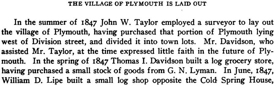
THE VILLAGE OF PLYMOUTH IS LAID OUT In the summer of 1847 John W. Taylor employed a surveyor to lay out the village of Plymouth, having purchased that portion of Plymouth lying west of Division street, and divided it into town lots. Mr. Davidson, who assisted Mr. Taylor, at the time expressed little faith in the future of Plymouth. In the spring of 1847 Thomas I. Davidson built a log grocery store, having purchased a small stock of goods from G. N. Lyman. In June, 1847, William D. Lipe built a small log shop opposite the Cold Spring House,
Text read by machine from the scan; it may contain errors.
History of Sheboygan County, Wisconsin, past and present1912 · page 340Read the page →
Read the text
There are other industries astir in Plymouth and, in a way, probably as important as those given space here. There are other factories, lumber firms doing a large business and their managers being men of affairs and influential in the counsels of those who have the best interests of Plymouth at heart. There is the Plymouth brewery established by G. Weber in 1865, still in operation and giving general satisfaction to its many patrons ; there are numerous mercantile establishments, all keeping pace with the rapid times; and there are the newspapers, true and honest reflectors of the sen-
Text read by machine from the scan; it may contain errors.
Scans and text from the Internet Archive. Books published in 1930 or earlier, which are in the public domain.
Timeline
Plymouth, 1877 to 1987
Woven from the archive, old maps, post office records, the National Register and the people born here.
In 1877, according to Wikipedia’s history of the town. the census of 1880 counted 1,052 people here.
How does Plymouth rank for history?
Plymouth is more historic than 54% of U.S. towns, #191 of 362 in Wisconsin. The History grade combines the town’s founding era, the share of homes built before 1940 and its National Register listings. It’s a character grade, so it isn’t part of the overall grade. How it works.
What is on the National Register in Plymouth?
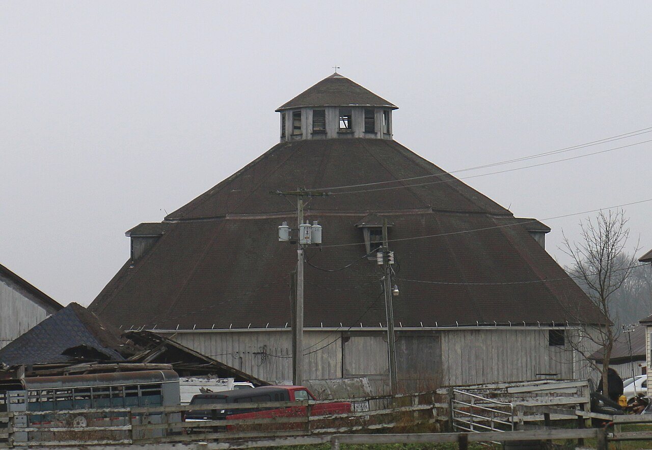
One place: the Lueder, Rudolph, 13 Sided Barn (listed 2016).
How old are the homes in Plymouth?
16% of Plymouth’s homes were built before 1940 (Census estimate, ±12.1 points), against a typical 12% for a Wisconsin town; the median home was built in 1976.
Founding dates: Wikidata, Wikipedia, the U.S. post office records of Blevins & Helbock (CC0) and the Census. Homes by year built: Census ACS 2020–24. National Register of Historic Places: National Park Service (list of May 22, 2026). Old photos, postcards and papers: Wikimedia Commons, the Library of Congress and other public archives, credited on each item’s page. Maps: U.S. Geological Survey historical topographic maps (via Esri) and Sanborn fire-insurance maps (Library of Congress). History text and census tables: Wikipedia (CC BY-SA 4.0). Places that used to be: USGS Geographic Names Information System (2021).
From Wikimedia Commons (8), Wikidata (4), the National Register of Historic Places (1), Wikipedia, Wikidata and Wikipedia for famous people, U.S. Geological Survey historical maps, U.S. Census counts (via Wikipedia), the USGS Geographic Names Information System, Sanborn fire insurance maps (Library of Congress) and old county and town histories (Internet Archive). Archive images are copied here with their credits and licenses, shown on each photo’s page. Refreshed monthly.




 2007
 2007
 2007
 2007
 2006
 2006
 2006
 2005


