Wikipedia doesn’t have a history of Pigeon Falls yet. The photos, dates and memories neighbors add here are how it gets written.
Pigeon Falls is a village in Trempealeau County, Wisconsin, United States. The population was 381 at the 2020 census.
Its first post office opened in 1873. Between the 2010 and 2020 censuses its population fell from 411 to 381 (-7%).
Intro from Wikipedia. Population: U.S. Census Bureau.
From the old history books
What they wrote about Pigeon Falls in 1917
Passages that mention Pigeon Falls, cut from the printed page as they were published.
History of Trempealeau County, Wisconsin1917 · page 822Read the page →
Read the text
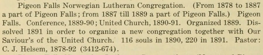
Pigeon Falls Norwegian Lutheran Congregation. (From 1878 to 1887 a part of Pigeon Falls ; from 1887 till 1889 a part of Pigeon Falls.) Pigeon Falls. Conference, 1889-90; United Church, 1890-91. Organized 1889. Dissolved 1891 in order to organize a new congregation together with Our Saviour's of the United Church. 116 souls in 1890, 220 in 1891. Pastor: C. J. Helsem, 1878-92 (3412-674).
Text read by machine from the scan; it may contain errors.
History of Trempealeau County, Wisconsin1917 · page 880Read the page →
Read the text
The town of Pigeon, from April 2, 1861, until Jan. 5, 1875, was a part of the town of Lincoln. As a separate political unit it held its first meeting at Pigeon Falls April 13, 1875. The first town officers were as follows : Peder Ekern, chairman ; Caleb Cummings and Nels Johnson Moe, supervisors; Hans Johnson, treasurer, and George P. Dissmore, clerk.
Text read by machine from the scan; it may contain errors.
Scans and text from the Internet Archive. Books published in 1930 or earlier, which are in the public domain.
Founding dates: Wikidata, Wikipedia, the U.S. post office records of Blevins & Helbock (CC0) and the Census. Homes by year built: Census ACS 2020–24. National Register of Historic Places: National Park Service (list of May 22, 2026). Old photos, postcards and papers: Wikimedia Commons, the Library of Congress and other public archives, credited on each item’s page. Maps: U.S. Geological Survey historical topographic maps (via Esri) and Sanborn fire-insurance maps (Library of Congress). History text and census tables: Wikipedia (CC BY-SA 4.0). Places that used to be: USGS Geographic Names Information System (2021). How TownRatings grades history →
From Wikimedia Commons (2), the US Post Offices dataset (Blevins & Helbock), the USGS Geographic Names Information System and old county and town histories (Internet Archive). Archive images are copied here with their credits and licenses, shown on each photo’s page. Refreshed monthly.

 2024
 2005