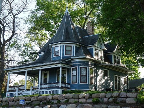
Lodi dates to 1846, and 23% of its homes were built before 1940
More historic than 93% of U.S. towns · #27 of 362 in Wisconsin. What drives it
11 places in town are on the National Register, among them three historic districts with 39 buildings between them. Below: maps from 1892 on and the census since 1870.
Founding year: Wikidata. First post office: 1848.The full story ↓
History grade
What drives Lodi’s History grade
On its age, its old homes and the National Register, Lodi is more historic than 93% of U.S. towns, #27 of 362 in Wisconsin. All 3 inputs are above most U.S. towns; its National Register listings ranks highest and its share of homes from before 1940 lowest.
A
HistoryA character grade: shown, never part of Lodi’s overall grade.
Wisconsin towns list more on the Register than most of the country (a typical Wisconsin town has 3.0 per 10,000 residents, the U.S. 2.4), so Lodi’s 147 sits above most of its state (96% of Wisconsin towns have fewer) while its 47 historic buildings outnumber those of 84% of U.S. towns.
How sure. Graded on any two of the three inputs instead, the letter would range from A− to A. The pre-1940 share is a Census survey estimate (±8.2 points). Two sources give 1846.
Founding year: Wikidata (other dates in Quick answers). Homes: Census ACS 2020–24. National Register: National Park Service, May 2026 list; each listing counted once (boundary changes and added documentation belong to their listing), and a historic district counts its contributing buildings. How TownRatings grades history →
What stands out about Lodi’s past
Read from the archive, the National Register and the record. The page puts what stands out first.
The scenic Town of Lodi area had long been a home of Native Americans before the first settlers, Marston and George Bartholomew, arrived in 1845 and staked their claim. By 1846 a county government was established which created Pleasant Valley Precinct. The Town of Lodi was created in 1849.
Isaac Palmer founded the village of Lodi in 1846 in what was then the Pleasant Valley Precinct of the Wisconsin Territory. He named it after Lodi, in Italy. Palmer chose this glaciated valley as the location for the village because of its water power potential. Spring Creek powered a sawmill that year and a grist mill followed in 1850.
Passages that mention Lodi, cut from the printed page as they were published.
The history of Columbia county, Wisconsin, containing an account of its settlement ..1880 · page 747Read the page →
Read the text
Town of Fountain Prairie— Village of Fall River— Town of Hampden— Town of Leeds — Town of Lewiston— Town of Lodi— Village of Lodi— Village of Okee. town of fountain prairie. At a meeting of the County Commissioners, held in 1846, all of Township 11, Range 12, together with other territory adjacent on the south, was made a voting precinct, and elections ordered held at the house of A. P. Birdsey ; and Asa Proctor, J. T. Lewis and Jeremiah Drake were appointed Judges of Election. At a further meeting of the board, held in January, 1849, the township was set oiF to itself and given the name of Fountain Prairie. The house of A. A.
Text read by machine from the scan; it may contain errors.
The history of Columbia county, Wisconsin, containing an account of its settlement ..1880 · page 491Read the page →
Read the text
Chicago tf- North western. — A stretch of about seven and a half miles of this road passes through Columbia County. In 1870, the Baraboo Air Line Railroad Company was incorporated with authority to build a railroad from Columbus, AVatertown, Madison, or any point intermediate, via the village of Lodi, Baraboo, Abelman's Mills and Reedsburg, to Tomah, La Crosse, or any point on the Mississippi River above La Crosse. In 1871, the Baraboo Air Line Company was consolidated with the Beloit and Madison Company, and both were then consolidated with the Northwestern Company, and the construction of the road northwest of Madison, or the Madison Extension, as it was called, was rapidly pushed forward toward AVinona Junction, a distance of 129
Text read by machine from the scan; it may contain errors.
Scans and text from the Internet Archive. Books published in 1930 or earlier, which are in the public domain.
Timeline
Lodi, 1846 to 1983
Woven from the archive, old maps, post office records, the National Register and the people born here.
Fire insurance maps drew every building, what it was made of and what it was used for, so insurers could price the risk of fire. Pick a year, then a sheet.
1892Sheet 1 of 1
Edition
Sheets
BrickWoodStone
Sanborn Map Company, via the Library of Congress. Editions published in 1930 or earlier, which are in the public domain.
People over time
Lodi, census by census
Grew from 725 people in 1870 to 3,189 in 2020, 4 times over.
16 censuses, 1870–2020.
U.S. Census Bureau decennial counts, from the census table on Lodi’s Wikipedia page.
Famous people
6 famous people were born in Lodi
Writers, athletes, leaders and more, ranked by how widely they’re known.
In 1846, according to Wikidata. Lodi’s post office opened in 1848, and the census of 1870 counted 725 people here.
How does Lodi rank for history?
Lodi is more historic than 93% of U.S. towns, #27 of 362 in Wisconsin. The History grade combines the town’s founding era, the share of homes built before 1940 and its National Register listings. It’s a character grade, so it isn’t part of the overall grade. How it works.
What is on the National Register in Lodi?
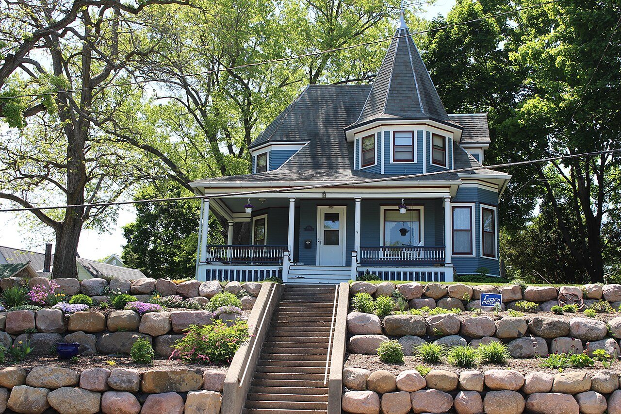
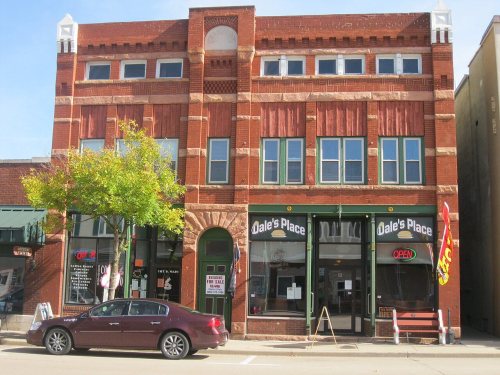
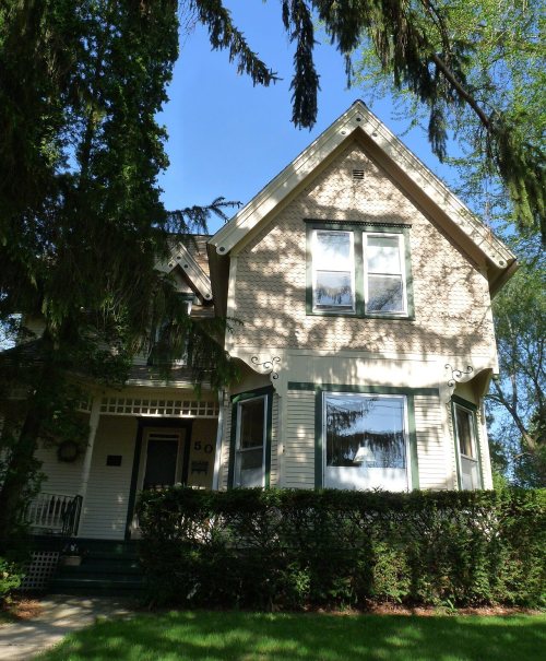
11 listings: 7 buildings, 3 historic districts, the Portage Street Historic District, the Lodi Street-Prairie Street Historic District and the Lodi Downtown Historic District, with 39 contributing buildings, and 1 site. 47 historic buildings in all.
How old are the homes in Lodi?
23% of Lodi’s homes were built before 1940 (Census estimate, ±8.2 points), against a typical 12% for a Wisconsin town; the median home was built in 1989.
Founding dates: Wikidata, Wikipedia, the U.S. post office records of Blevins & Helbock (CC0) and the Census. Homes by year built: Census ACS 2020–24. National Register of Historic Places: National Park Service (list of May 22, 2026). Old photos, postcards and papers: Wikimedia Commons, the Library of Congress and other public archives, credited on each item’s page. Maps: U.S. Geological Survey historical topographic maps (via Esri) and Sanborn fire-insurance maps (Library of Congress). History text and census tables: Wikipedia (CC BY-SA 4.0). Places that used to be: USGS Geographic Names Information System (2021).
From Wikidata (6), the National Register of Historic Places (11), Wikipedia, Wikidata and Wikipedia for famous people, U.S. Geological Survey historical maps, U.S. Census counts (via Wikipedia), the US Post Offices dataset (Blevins & Helbock), the USGS Geographic Names Information System, Sanborn fire insurance maps (Library of Congress) and old county and town histories (Internet Archive). Archive images are copied here with their credits and licenses, shown on each photo’s page. Refreshed monthly.