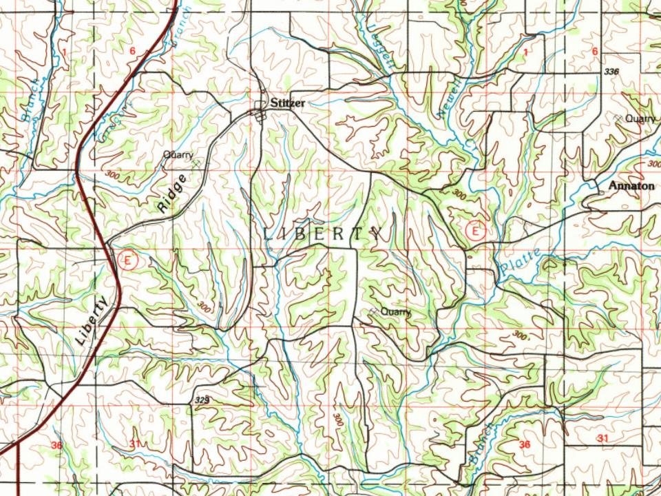
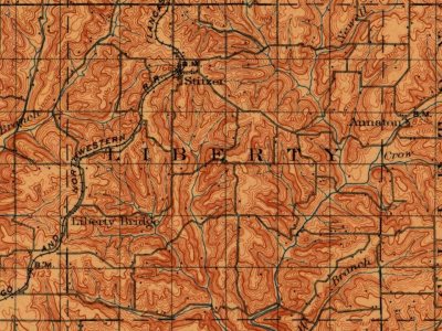
Every edition of the U.S. Geological Survey’s map of Liberty. Tap a year, or press play to watch the town change.
1900Lancaster sheet · 1:125,000
U.S. Geological Survey historical topographic maps (public domain), via Esri’s collection of the scans. The red ring marks the center of Liberty.
The story so far
Liberty, in brief
Wikipedia doesn’t have a history of Liberty yet. The photos, dates and memories neighbors add here are how it gets written.
Liberty is a town in Grant County, Wisconsin, United States. The population was 543 at the 2020 census. The unincorporated community of Stitzer, Wisconsin is in the town. The town was named from the American ideal of liberty.
Its population held steady between the last two censuses: 553 in 2010, 543 in 2020.
Intro from Wikipedia. Population: U.S. Census Bureau.
From the old history books
What they wrote about Liberty, 1881–1900
Passages that mention Liberty, cut from the printed page as they were published.
[History of Grant County, Wisconsin, preceded by a history of Wisconsin1881 · page 545Read the page →
Read the text
connection with the Milwaukee & St. Paul Railroad to Lancaster on or before November 1, 1878. The sense of the meeting was favorable to accepting the proposition; the necessary legal steps were taken, both in Lancaster and the towns between that and the Wisconsin River ; Liberty and Fennimore also voted aid sufficient to make up a subscription of $5,000 per mile, and by May 16, the railroad force was actively at work in the county; and with such expedition was the work pushed that, although the cars were not running from Woodman to Lancaster by November 1, they did actually enter the town January 1, 1879, and thus the only successful attempt was made to penetrate with a railroad the interior of Grant County.
Text read by machine from the scan; it may contain errors.
History of Grant County Wisconsin1900 · page 749Read the page →
Read the text
There is a post-office and railroad station called Liberty Ridge near the Rock church in Section 19. ELLENBORO.
Text read by machine from the scan; it may contain errors.
History of Grant County Wisconsin1900 · page 138Read the page →
Read the text
5, were taken off* from Cassville and added to Beetown, and sections 6 and 7 of Town 5, R. 4, were taken from Beetown and added to Patch Grove. In 1851 the towns of Muscoda and Ellenboro were organized; in 1852, Liberty; in 1853, Millville, taking most of what is now Wyalusing, a large portion of Patch Grove, and all of the pres¬ ent town of Millville. In 1854 Wyalusing and Marion were created; in 1856, Little Grant, Blue River, Hickory Grove, and Watterstown; in 1859, the towns of Boscobel, Glen Haven, and Lander (soon
Text read by machine from the scan; it may contain errors.
Scans and text from the Internet Archive. Books published in 1930 or earlier, which are in the public domain.
Timeline
Liberty, 1861 to 1900
Woven from the archive, old maps, post office records, the National Register and the people born here.
Founding dates: Wikidata, Wikipedia, the U.S. post office records of Blevins & Helbock (CC0) and the Census. Homes by year built: Census ACS 2020–24. National Register of Historic Places: National Park Service (list of May 22, 2026). Old photos, postcards and papers: Wikimedia Commons, the Library of Congress and other public archives, credited on each item’s page. Maps: U.S. Geological Survey historical topographic maps (via Esri) and Sanborn fire-insurance maps (Library of Congress). History text and census tables: Wikipedia (CC BY-SA 4.0). Places that used to be: USGS Geographic Names Information System (2021). How TownRatings grades history →
From U.S. Geological Survey historical maps, the US Post Offices dataset (Blevins & Helbock), the USGS Geographic Names Information System and old county and town histories (Internet Archive). Archive images are copied here with their credits and licenses, shown on each photo’s page. Refreshed monthly.