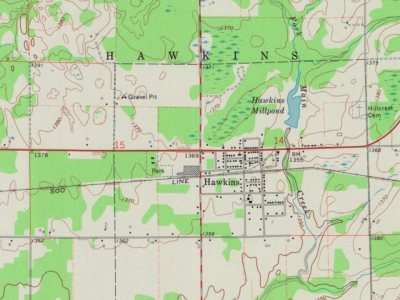
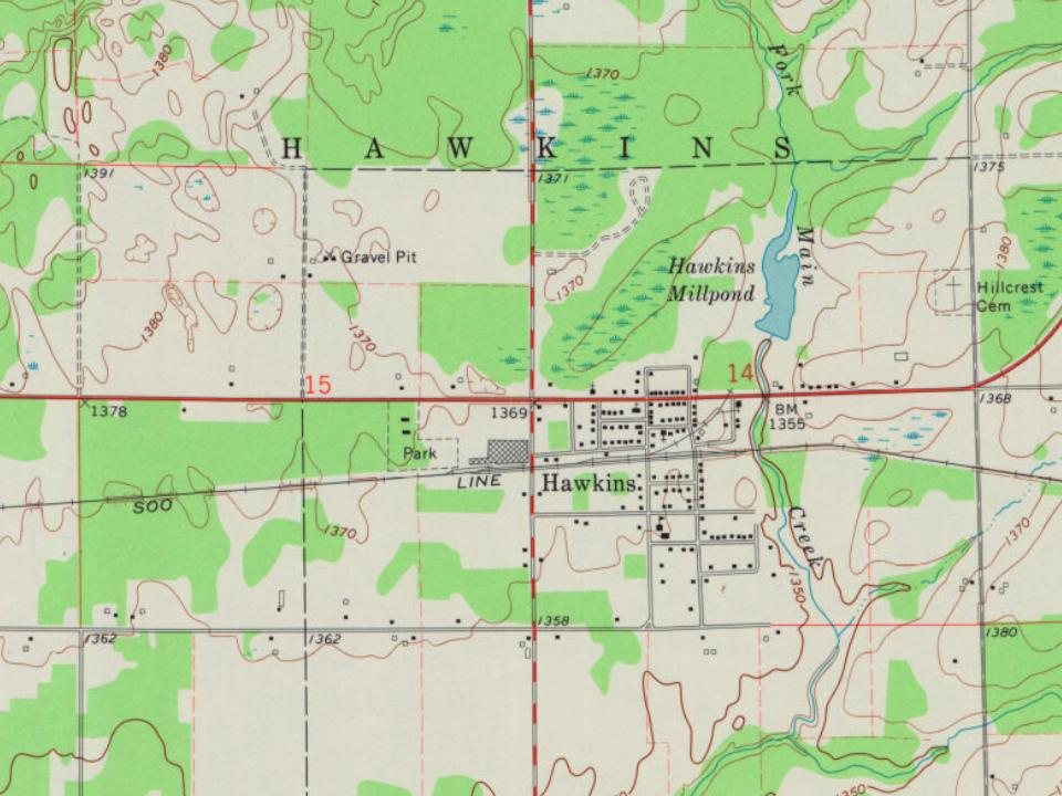
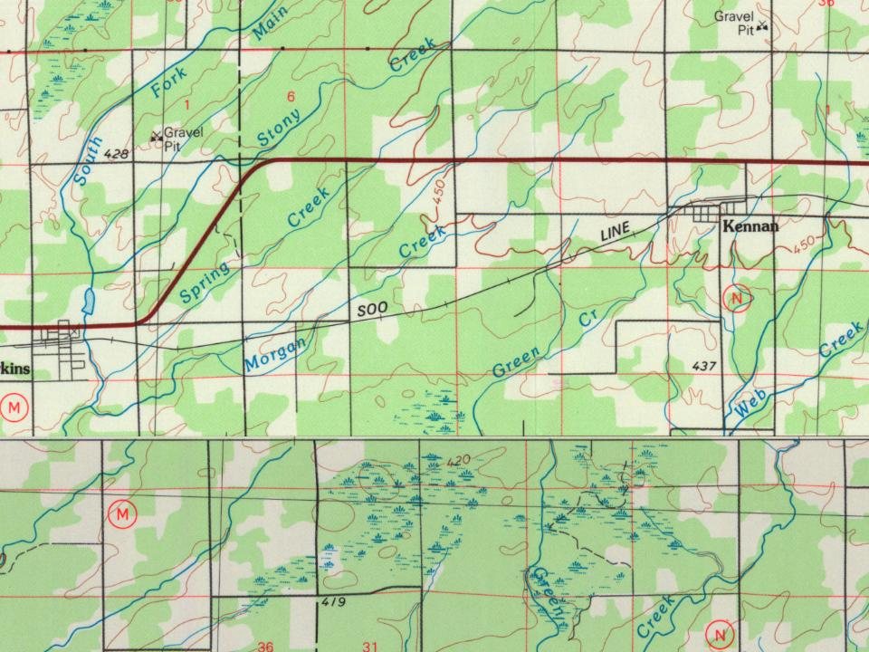
Before the railroad came, the area around Hawkins was forested, cut by Main Creek and its tributaries, with swamp in the lowlands along those branches. In 1884 the Minneapolis, St. Paul and Sault Ste. Marie Railroad (the Soo Line) built its line through the area, aiming to connect the grain of the Twin Cities with the shipping at Sault Ste. Marie. The railroad created a station near where it crossed the south fork of Main Creek, which became Hawkins.
Founding dates: Wikidata, Wikipedia, the U.S. post office records of Blevins & Helbock (CC0) and the Census. Homes by year built: Census ACS 2020–24. National Register of Historic Places: National Park Service (list of May 22, 2026). Old photos, postcards and papers: Wikimedia Commons, the Library of Congress and other public archives, credited on each item’s page. Maps: U.S. Geological Survey historical topographic maps (via Esri) and Sanborn fire-insurance maps (Library of Congress). History text and census tables: Wikipedia (CC BY-SA 4.0). Places that used to be: USGS Geographic Names Information System (2021). How TownRatings grades history →
From Wikipedia, U.S. Geological Survey historical maps, U.S. Census counts (via Wikipedia), the US Post Offices dataset (Blevins & Helbock) and the USGS Geographic Names Information System. Archive images are copied here with their credits and licenses, shown on each photo’s page. Refreshed monthly.