
Brookfield Lilly Heights 2008b, 2008
Brookfield’s story
Brookfield in pictures
Census counts: 19,812 in 1960, 41,464 in 2020. The archive holds 12 old photos and papers going back to 1843 and 4 maps from 1892 on.
Explore the history →Each edition grades its towns against each other only.

Brookfield ranks 146th of 357 in Wisconsin, with a B+ overall. On that grade it does better than 74% of U.S. towns. Its standout strength is health: it is healthier than 89% of U.S. towns. What counts against it is cost of living: the typical home is worth about $374K, 4.8 years of the Milwaukee metro’s $78K median household income. On history, just 11 of Wisconsin’s 879 towns do worse. Nearly a third of residents are 65 or older here, against 20% in Wisconsin’s towns and 18% across U.S. towns. Brookfield's schools rank ahead of 76% of Wisconsin towns. The biggest park or preserve is Eble Park, at 34 acres.
Figures: health, CDC PLACES · home values, Zillow · incomes, Census ACS, 2020–24 · schools, state test and graduation results · National Register of Historic Places · OpenStreetMap.
Where Brookfield beats most towns.
Where Brookfield’s working residents go each day. Line width shows the share.
Census LEHD 2023
Each subject compared with towns across the country (schools within Wisconsin), ordered by how far Brookfield is from typical.
How TownRatings grades towns →
Census counts: 19,812 in 1960, 41,464 in 2020. The archive holds 12 old photos and papers going back to 1843 and 4 maps from 1892 on.
Explore the history →Museums, parks, gardens and other places to visit around Brookfield. Close and well known come first.
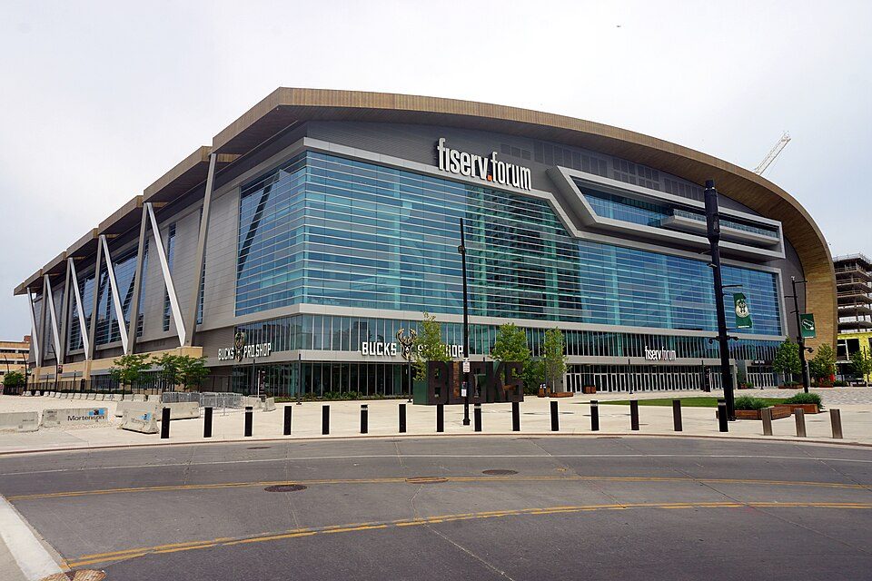 13 mi Stadium & arenaFiserv Forum
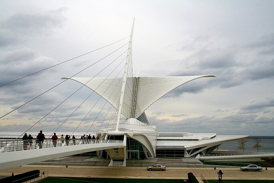 14 mi MuseumMilwaukee Art Museum350K visitors a year
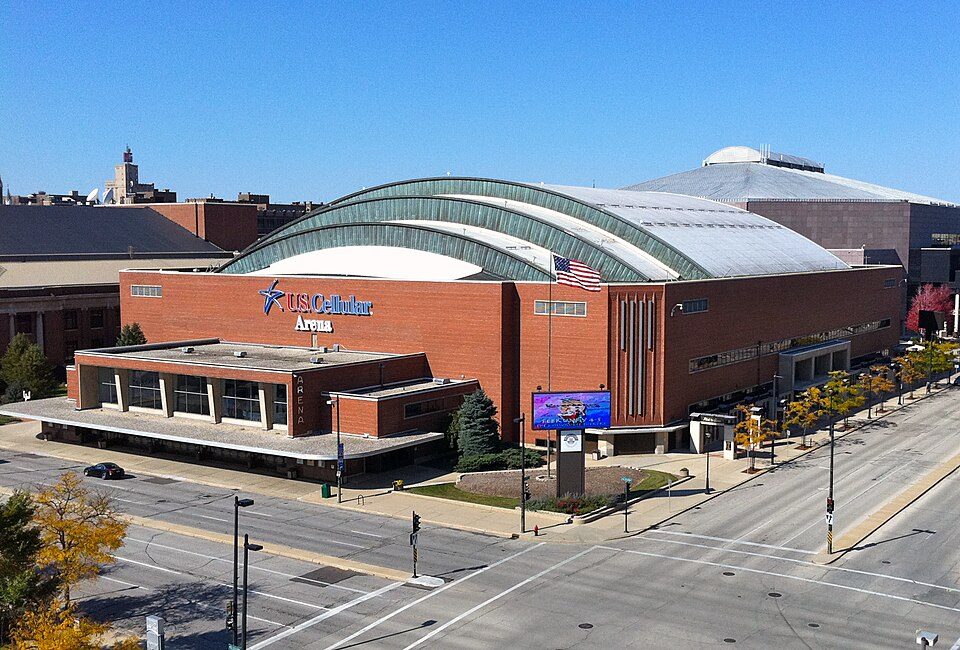 13 mi Stadium & arenaUW–Milwaukee Panther Arena
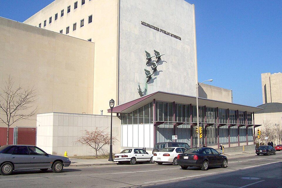 13 mi MuseumNature & Culture Museum of Wisconsin
 13 mi MuseumHarley-Davidson Museum300K visitors a year
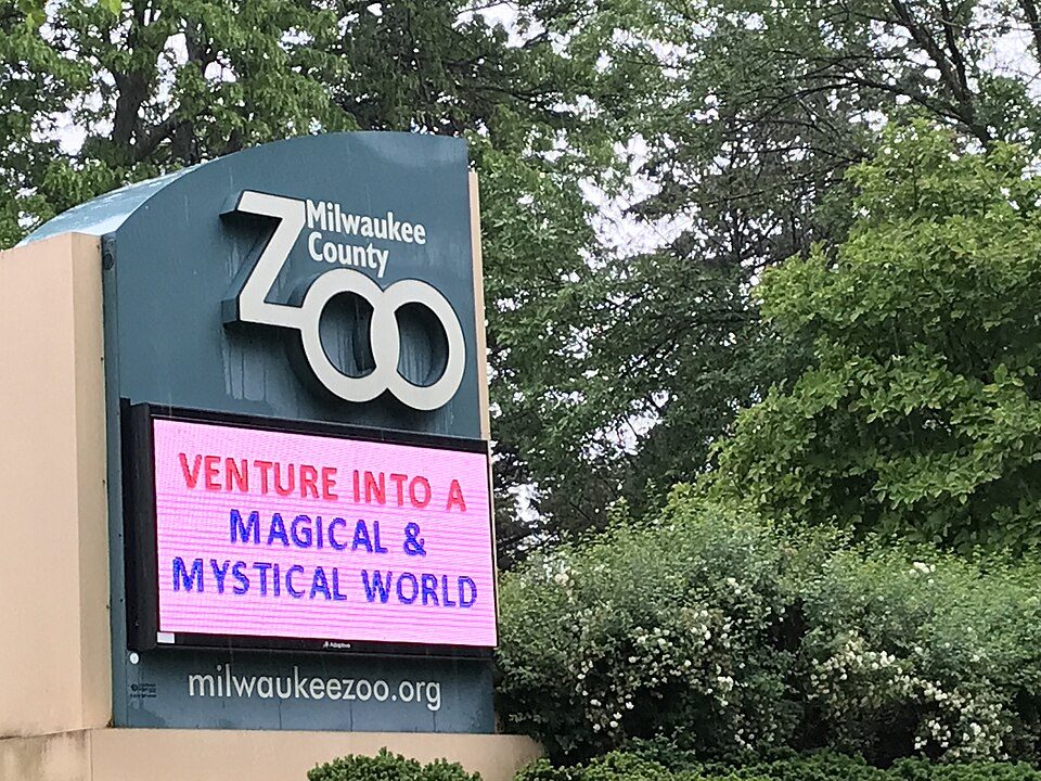 7 mi Zoo & aquariumMilwaukee County Zoo
Fiserv Forum: Michael Barera, CC BY-SA 4.0 · Milwaukee Art Museum: Michael Hicks (Mulad), CC BY 2.0 · UW–Milwaukee Panther Arena: Shadowlink1014, Public domain · Nature & Culture Museum of Wisconsin: The original uploader was Sulfur at English Wikipedia., CC BY-SA 3.0 · Harley-Davidson Museum: Dori, CC BY-SA 3.0 us · Milwaukee County Zoo: Awkwafaba, CC BY-SA 3.0
Who provides power, water and the rest in Brookfield, and how to reach them.
EPA SDWIS (Oct 9, 2026) · HIFLD + EIA-861 2025 · Census 2020 ZCTAs · NCES 2024–25 · registration: vote.gov, updated Nov 18, 2024.
Ordered by what stands out in Brookfield.
Brookfield draws workers from Milwaukee and beyond and has cooler summers than most of the country, though not than most of Wisconsin.
9,093 jobs are based in Brookfield, 2.8 for every working resident, so most of the people who work here commute in.
Only 3% of working residents stay in Brookfield for work; the rest commute out. Just over a fifth of Brookfield workers work remotely from home. Between 2013 and 2023, jobs in the town rose by 698, to 9,093. In Brookfield, the typical journey to work is 20 minutes.
| Brookfield | Wisconsin towns | U.S. towns | |
|---|---|---|---|
| Work from home | 21% | 12% | 11% |
| Average trip to work | 20 minutes | 22 minutes | 25 minutes |
| Working residents who work in town | 3.4% | 8.4% | 8% |
| Below the poverty line | 7.9% | 6.3% | 9.6% |
Census LEHD 2023 · ACS
Among adults in Brookfield, 20% binge drink. Against the Wisconsin average, Brookfield comes out ahead on 19 CDC measures out of 32, and behind on 1.
| Brookfield | Wisconsin towns | U.S. towns | |
|---|---|---|---|
| Frequent mental distress (CDC PLACES) | 13% | 15% | 17% |
| Smoke cigarettes (CDC PLACES) | 9.7% | 14% | 14% |
| Depression (CDC PLACES) | 20% | 24% | 23% |
| Binge drink (CDC PLACES) | 20% | 20% | 16% |
| What stands out | Brookfield | WI |
|---|---|---|
| Fewer adults facing food insecurity | 7.9% | 12.1% |
| Fewer adults facing a utility shut-off | 3.8% | 5.5% |
| More adults who have had cancer | 9.6% | 8.6% |
CDC PLACES 2025 · modeled estimates for adults · CMS · HRSA
Federal disaster aid has reached households in Brookfield after 3 declared disasters, most recently in 2008. FEMA expects less storm and flood damage here than in 92% of U.S. communities. Since 2025, one flood insurance claim has been paid in the town.
FEMA disaster declarations and aid · FEMA National Risk Index · OpenFEMA
Trails total 2.4 miles in 5 parks and preserves. Parks and preserves in Brookfield: 5, covering 92 acres. Its trail network density is 0.5 miles per square mile.
| Brookfield | Wisconsin towns | U.S. towns | |
|---|---|---|---|
| Conserved land | 2% | 3.8% | 4.3% |
| Miles of trail per square mile | 0.5 miles per square mile | 0.4 | 0.4 |
| Biggest places to walk | Trails | Acres |
|---|---|---|
| 1. Eble Park | — | 34 |
| 2. Marx Park | 0.1 mi | 23 |
| 3. Brook Park | — | 21 |
Trails & parks © OpenStreetMap contributors · Conserved land: USGS PAD-US
July afternoons average 81.9°: cooler than most of the country, but hotter than 75% of Wisconsin places with climate records; January nights average 12.6°.
The July high for Brookfield comes to 82°F. About 37 inches of snow falls in a winter.
| Brookfield | Wisconsin towns | U.S. towns | |
|---|---|---|---|
| January low | 13°F | 11°F | 22°F |
| July high | 82°F | 82°F | 85°F |
NOAA U.S. Climate Normals, 1991–2020
Brookfield's reported crime rate is close to Wisconsin's. Most reported incidents are property crimes, mainly thefts. For Brookfield, the level of violent crime is 0.6 per 1,000 residents.
| Brookfield | Wisconsin towns | U.S. towns | |
|---|---|---|---|
| Violent crimes per 1,000 (2022) | 0.6 per 1,000 residents | 1.2 | 1.9 |
| Property crimes per 1,000 (2022) | 14.8 per 1,000 residents | 9.2 | 14.1 |
FBI crime data, 2022 · crimes reported to police
17 within 15 miles of the center of Brookfield
About 4 of every 100 Brookfield residents are enrolled in college, against 6 across Wisconsin.
17 notable people were born in Brookfield.


City in Waukesha County, Wisconsin, U.S.
Brookfield is a city in eastern Waukesha County, Wisconsin, United States. The population was 41,464 as of the 2020 census, and was estimated at 41,448 in 2025. The city is adjacent to the Town of Brookfield and is part of the Milwaukee metropolitan area.
From Wikipedia, licensed CC BY-SA 4.0 · facts via Wikidata (CC0)
6 towns share a border with Brookfield.
| Town | WI rank | Overall | Cost | Safety | Schools | Health |
|---|---|---|---|---|---|---|
| Brookfield | #146 | B+ | D | — | A− | A |
| Brookfield | #40 | A | D | B+ | A | A |
| Waukesha | #184 | B+ | C− | B | B− | A− |
| New Berlin | #52 | A | C− | B+ | A | A |
| Pewaukee | #139 | A− | C− | — | B | A |
| Menomonee Falls | #46 | A | C− | A− | A | A− |
| Lisbon | — | — | B+ | — | A+ | — |
Brookfield, Pewaukee and Lisbon report no FBI crime data of their own. Lisbon isn’t graded (fewer than 1,000 residents, or not enough data). Compare Brookfield with a neighbor →
Short answers, built from the data on this page.
For most people who can afford it, yes. Brookfield grades B+ overall, better than 74% of U.S. towns and #146 of 357 in Wisconsin. It grades A for health and A− for schools. Cost of living is its weak spot, with a D.
Yes. Cost of living, which also weighs rents, property taxes and how many households pay 30% or more of their income for housing, grades D.


