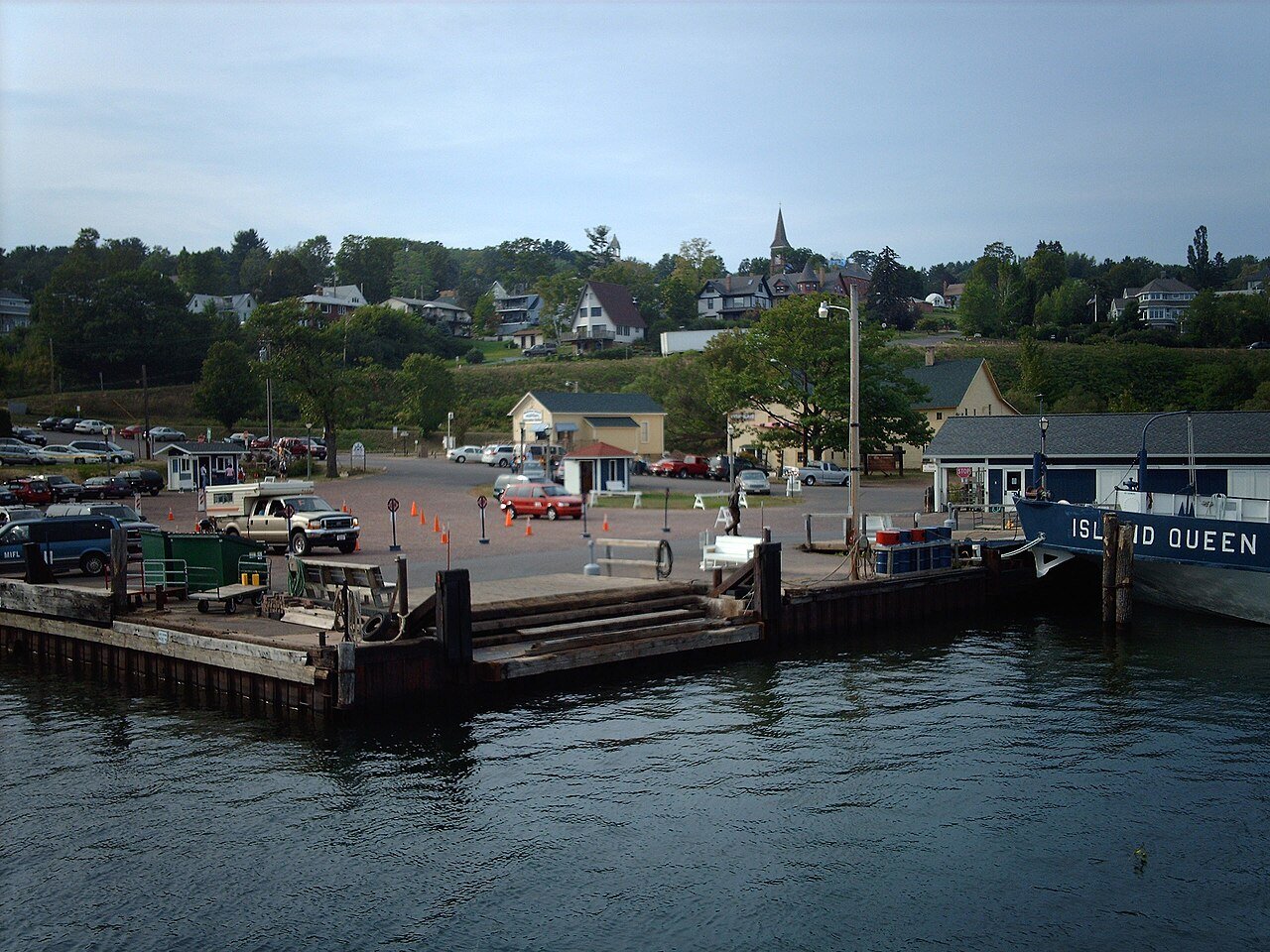
Photo: The original uploader was Nationalparks at English Wikipedia. · CC BY-SA 2.5
–Not graded
History · Bayfield
6 of Bayfield’s places are on the National Register
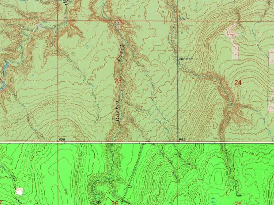
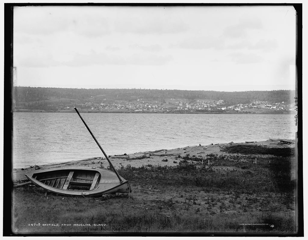
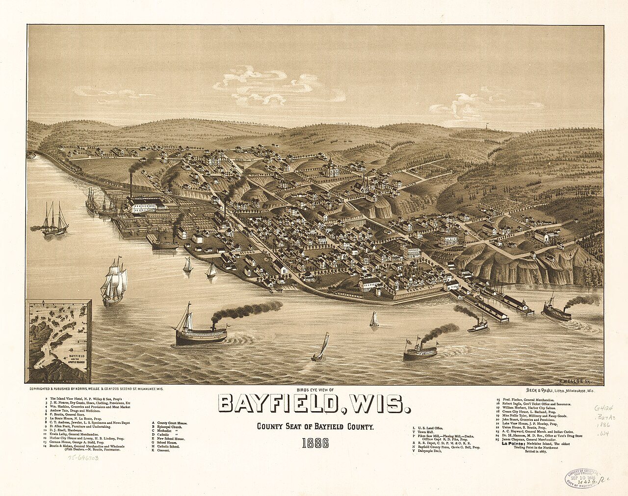
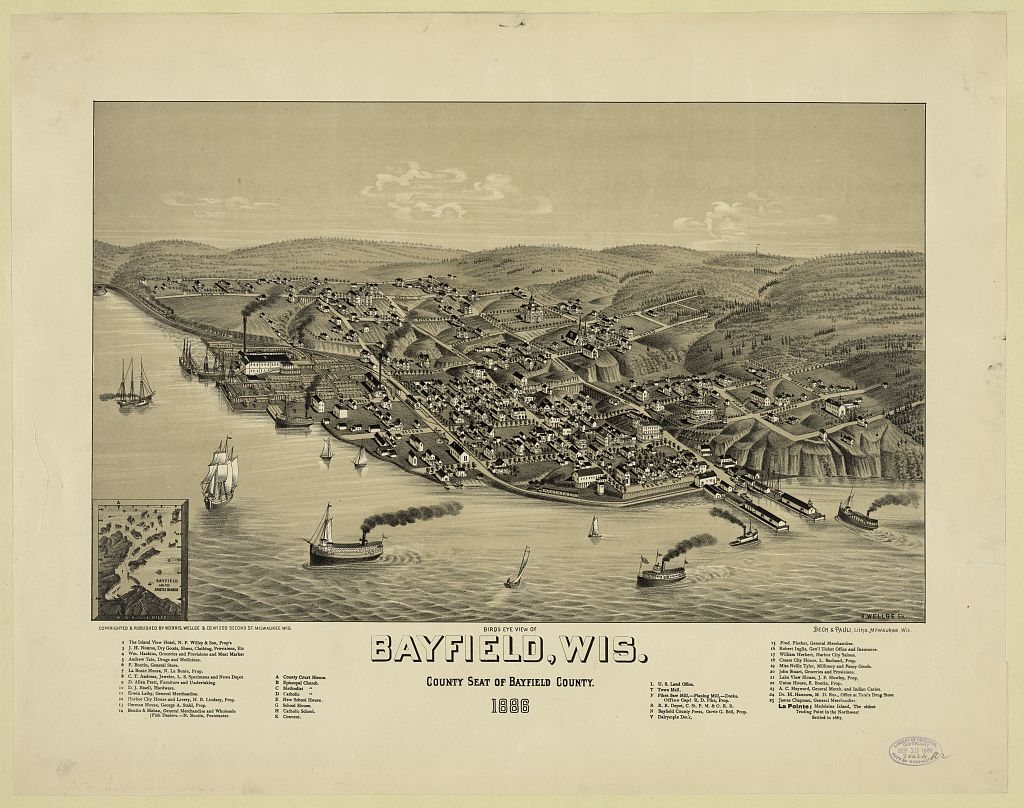
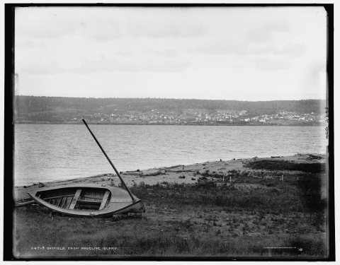
Most of Bayfield was built recently: 8% of its homes predate 1940 and the median home dates from 1994. Below: 4 old photos and papers, maps from 1886 on, and the census since 1880.
Peaked at 1,689 in 1900; 584 people lived here in 2020.
14 censuses, 1880–2020.
U.S. Census Bureau decennial counts, from the census table on Bayfield’s Wikipedia page.
Every building
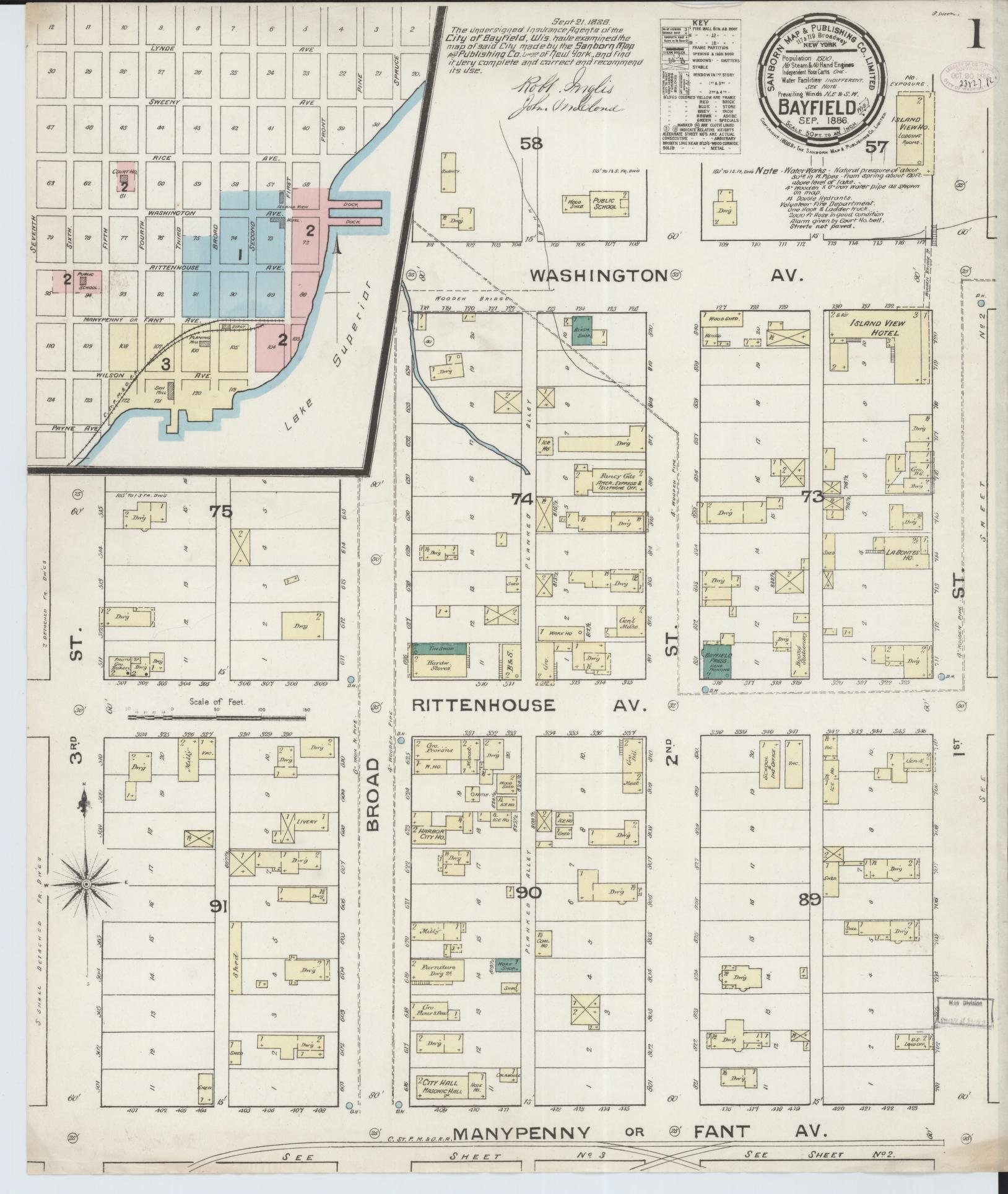
Bayfield, building by building, 1886–1904
Fire insurance maps drew every building, what it was made of and what it was used for, so insurers could price the risk of fire. Pick a year, then a sheet.
Bayfield was named in 1856 for Henry Bayfield, a British Royal Topographic Engineer who explored the region in 1822–23. A post office has been in operation at Bayfield since 1856.
Nothing in the archives for these yearsWeddings on Main Street, storms, parades, school pictures, the old store. If it’s in your family album, it belongs here.
6 listings: 5 buildings, among them the Shaw Farm (listed 1976, the first), and 1 historic district, the Shaw Point Historic District, with 16 contributing buildings. 29 historic buildings in all.
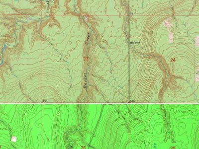
Founding dates: Wikidata, Wikipedia, the U.S. post office records of Blevins & Helbock (CC0) and the Census. Homes by year built: Census ACS 2020–24. National Register of Historic Places: National Park Service (list of May 22, 2026). Old photos, postcards and papers: Wikimedia Commons, the Library of Congress and other public archives, credited on each item’s page. Maps: U.S. Geological Survey historical topographic maps (via Esri) and Sanborn fire-insurance maps (Library of Congress). History text and census tables: Wikipedia (CC BY-SA 4.0). Places that used to be: USGS Geographic Names Information System (2021). How TownRatings grades history →
From Wikimedia Commons (2), the Library of Congress (2), Wikidata (2), the National Register of Historic Places (6), Wikipedia, Wikidata and Wikipedia for famous people, U.S. Geological Survey historical maps, U.S. Census counts (via Wikipedia), the USGS Geographic Names Information System and Sanborn fire insurance maps (Library of Congress). Archive images are copied here with their credits and licenses, shown on each photo’s page. Refreshed monthly.




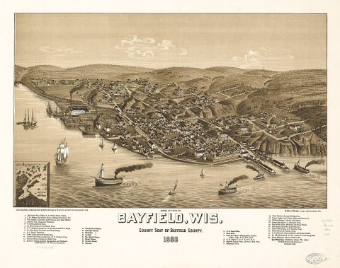 1886
 1886
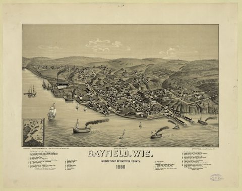 1886