The story
Read it all →How Bangor came to be
From Wikipedia’s history of Bangor.
The community was named after Bangor, Wales, because many of the early settlers were natives of Wales.
Text from Wikipedia, licensed CC BY-SA 4.0.
Each edition grades its towns against each other only.
Below: 3 old photos and papers, maps from 1892 on, and the census since 1880.
Read from the archive, the National Register and the record. The page puts what stands out first.
The first neighbors to add old photos shape how Bangor’s history is told.
Drag across each photo to compare.

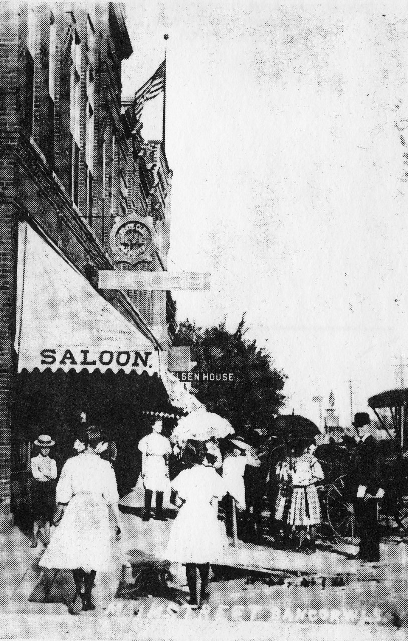 c. 19102006
Fire insurance maps drew every building, what it was made of and what it was used for, so insurers could price the risk of fire. Pick a year, then a sheet.
 1892Sheet 1 of 1
Sanborn Map Company, via the Library of Congress. Editions published in 1930 or earlier, which are in the public domain.
From Wikipedia’s history of Bangor.
The community was named after Bangor, Wales, because many of the early settlers were natives of Wales.
Text from Wikipedia, licensed CC BY-SA 4.0.
Passages that mention Bangor, cut from the printed page as they were published.

of Campbell the narrow "Smith's Cooley." in town of Barre the narrow "Roberts Cooley," then the very extensive "Bostwick Valley," of several miles' length and with a great number of long side-issues. A narrow buc important side valley shoots out from La Crosse Valley in a southeasterly direction in the town of Bangor, known as "Dutch ^^llle3■." The balance of the passes in the bluffs further north lead to comparatively small, and at their termini, closed-up valleys, among which is "Sand Lake Cooley." in the town of Onalaska. and " S]iring Cooley " and "Long Cooley," in the town of Holland.
Text read by machine from the scan; it may contain errors.Scans and text from the Internet Archive. Books published in 1930 or earlier, which are in the public domain.
Woven from the archive, old maps, post office records, the National Register and the people born here.
2 decades in the archive, from the 1900s to the 1910s. Scroll each row; tap a photo for its story.
 2023Bangor schools-4
 2021St. Paul’s Lutheran School WELS
 2016Dairy cows catch some shade near Bangor in La Crosse …
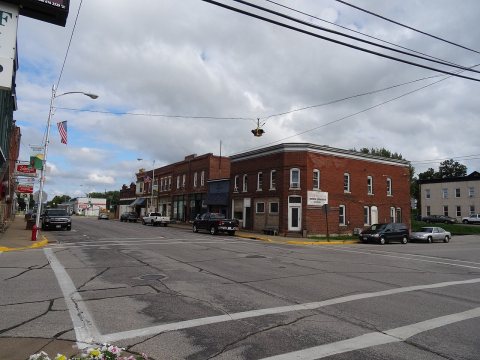 2014Commercial street scene, circa 2014
 2006Union House
 2006Smith & Bosshard Building
 2006Meyer Block
 2006Elsen House hotel
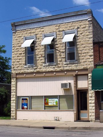 2006Cottom Building
 2006Commercial street
 2006Commercial street buildings
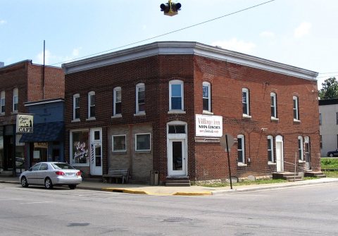 2006Commercial Street and 16th Avenue
 20061517 Commercial Street
 20061516 Commercial Street
 2004WIMap-doton-Bangor
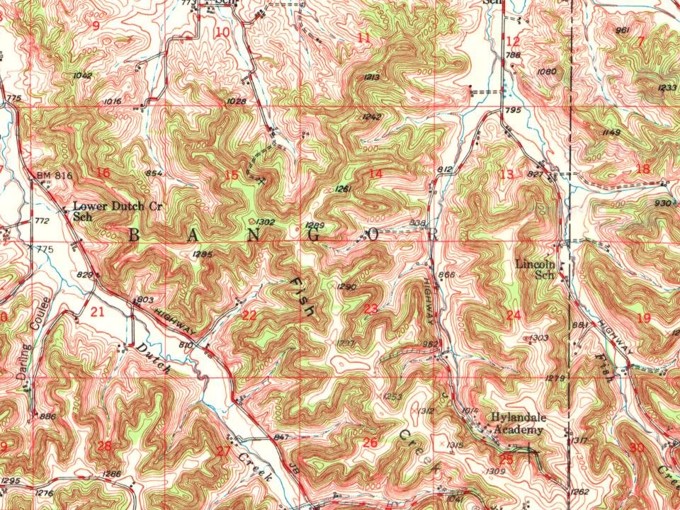
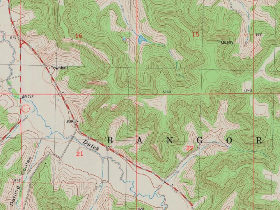
Every edition of the U.S. Geological Survey’s map of Bangor. Tap a year, or press play to watch the town change.
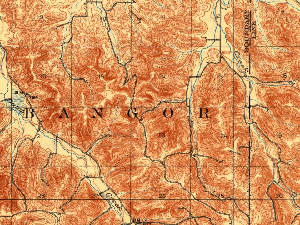
U.S. Geological Survey historical topographic maps (public domain), via Esri’s collection of the scans. The red ring marks the center of Bangor.
Between 453 and 1,459 people in every census since 1880.
15 censuses, 1880–2020.
U.S. Census Bureau decennial counts, from the census table on Bangor’s Wikipedia page.
Places and cemeteries from the USGS Geographic Names Information System (2021).
Each neighbor’s History grade, on the same three inputs.
What the archives can’t tell you, neighbors can.
Founding dates: Wikidata, Wikipedia, the U.S. post office records of Blevins & Helbock (CC0) and the Census. Homes by year built: Census ACS 2020–24. National Register of Historic Places: National Park Service (list of May 22, 2026). Old photos, postcards and papers: Wikimedia Commons, the Library of Congress and other public archives, credited on each item’s page. Maps: U.S. Geological Survey historical topographic maps (via Esri) and Sanborn fire-insurance maps (Library of Congress). History text and census tables: Wikipedia (CC BY-SA 4.0). Places that used to be: USGS Geographic Names Information System (2021). How TownRatings grades history →
From Wikimedia Commons (17), the Library of Congress (1), Wikipedia, Wikidata and Wikipedia for famous people, U.S. Geological Survey historical maps, U.S. Census counts (via Wikipedia), the USGS Geographic Names Information System, Sanborn fire insurance maps (Library of Congress) and old county and town histories (Internet Archive). Archive images are copied here with their credits and licenses, shown on each photo’s page. Refreshed monthly.

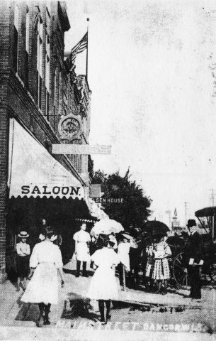
 c. 1916