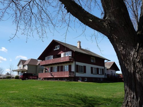
Wikipedia doesn’t have a history of Albion yet. The photos, dates and memories neighbors add here are how it gets written.
Albion ( AL-bee-on) is a town in Trempealeau County, Wisconsin, United States. The population was 694 at the 2020 census.
Between the 2010 and 2020 censuses its population grew from 653 to 694 (+6%).
Intro from Wikipedia. Population: U.S. Census Bureau.
From the old history books
What they wrote about Albion in 1917
Passages that mention Albion, cut from the printed page as they were published.
History of Trempealeau County, Wisconsin1917 · page 113Read the page →
Read the text
full payment of the amount missing, with interest. Judgment being obtained, the money was turned over to the county by the bondsmen and a release signed by the board November 19, 1872. June 20, 1870, the town of Albion was set off in response to a petition previously presented requesting the creation of a town to be named Logan. As created, Albion consisted of its present area. The first meeting was ordered held at the schoolhouse in District Three, in April, 1871.
Text read by machine from the scan; it may contain errors.
History of Trempealeau County, Wisconsin1917 · page 108Read the page →
Read the text
Arcadia, J. T. Holmes of Caledonia, Henry French of Gale, Chester Bostwick of Preston, William Silkworth of Sumner and James M. Barrett of Trempealeau. November 13, 1860, Chase and Lincoln Townships were created. Chase was to consist of all the present town of Albion and the west half of Unity. The first town meeting was to be held at the home of David Chase in April, 1861. Lincoln was to consist of Townships 22 and 23.
Text read by machine from the scan; it may contain errors.
Scans and text from the Internet Archive. Books published in 1930 or earlier, which are in the public domain.
Timeline
Albion, 1862 to 1927
Woven from the archive, old maps, post office records, the National Register and the people born here.
Founding dates: Wikidata, Wikipedia, the U.S. post office records of Blevins & Helbock (CC0) and the Census. Homes by year built: Census ACS 2020–24. National Register of Historic Places: National Park Service (list of May 22, 2026). Old photos, postcards and papers: Wikimedia Commons, the Library of Congress and other public archives, credited on each item’s page. Maps: U.S. Geological Survey historical topographic maps (via Esri) and Sanborn fire-insurance maps (Library of Congress). History text and census tables: Wikipedia (CC BY-SA 4.0). Places that used to be: USGS Geographic Names Information System (2021). How TownRatings grades history →
From the National Register of Historic Places (1), U.S. Geological Survey historical maps, the US Post Offices dataset (Blevins & Helbock), the USGS Geographic Names Information System and old county and town histories (Internet Archive). Archive images are copied here with their credits and licenses, shown on each photo’s page. Refreshed monthly.