Is Abrams a good place to live?
The best of Abrams’ subject grades are an A for incomes and the outdoors and an A− for civic life; the weakest is a C− for walkability. 96% of households live in a home they own in Abrams, where Wisconsin’s towns sit at 74% and U.S. towns at 73%. 25% of the land in Abrams is conserved, against 3.8% in Wisconsin’s towns and 4.3% across U.S. towns. The biggest place to walk is Oconto County Forest, 5,675 acres with 19.5 miles of trail. Abrams has fewer than 2,500 residents, so it gets subject grades but no overall grade.
98% of working residents leave Abrams for work
Where Abrams’s working residents go each day. Line width shows the share.
Census LEHD 2023
How Abrams grades
Each subject compared with towns across the country (schools within Wisconsin), ordered by how far Abrams is from typical.
How TownRatings grades towns →
Moving to Abrams: who provides what
Who provides power, water and the rest in Abrams, and how to reach them.
EPA SDWIS (Oct 9, 2026) · HIFLD + EIA-861 2025 · Census 2020 ZCTAs · NCES 2024–25 · registration: vote.gov, updated Nov 18, 2024.
The data
Ordered by what stands out in Abrams.
Most of Abrams’ workers head elsewhere: there are 0.3 jobs for each of them
Half commute less than 22 miles. Between 2013 and 2023, jobs in Abrams dropped by 145, to 279. Most people who work leave Abrams to do it: just 2% work in town. Abrams’ average trip to work comes in at 28 minutes.
| Abrams | Wisconsin towns | U.S. towns | |
|---|---|---|---|
| Average trip to work | 28 minutes | 22 minutes | 25 minutes |
| Median household income | $104,000 | $87,000 | $80,000 |
| Working residents who work in town | 1.9% | 8.3% | 8% |
| Below the poverty line | 4.5% | 6.4% | 9.6% |
Where working residents work
Census LEHD 2023 · ACS
On state tests, Abrams’ schools beat 54% of Wisconsin districts
Public schools: the Oconto Falls Public School District. Its one school is below. Abrams’ only public school teaches 287 students.
| School | Level | Students | Letter |
|---|---|---|---|
| Abrams ElementaryLargest public elementary schoolGrades PK–5 | Grades PK–5 | 287 | B |
NCES · EDFacts · graded within WI on state tests and graduation
Abrams keeps 24.7% of its land conserved
In 1 park or preserve, walkers have 22 miles of trail. Abrams’ concentration of trails stands at 0.6 miles per square mile.
| Biggest places to walk | Trails | Acres |
|---|---|---|
| 1. Oconto County Forest | 19.5 mi | 5,675 |
Trails & parks © OpenStreetMap contributors · Conserved land: USGS PAD-US
Abrams faces a low natural-hazard risk, led by inland flooding
Since 1986, Abrams has seen 10 flood insurance claims paid out. Storm and flood damage is expected to run lower than in 69% of U.S. communities. FEMA puts 51% of the town’s expected hazard losses down to inland flooding, and 27% to cold waves.
FEMA flood insurance claims · FEMA National Risk Index · OpenFEMA
Snowy winters and pleasant summers in Abrams
In July, afternoons reach 80°; in January, nights fall to 10°, and about 52 inches of snow falls in a winter.
Typical low → high °F
NOAA U.S. Climate Normals, 1991–2020
Abrams’ typical home value is about $405K
In the year to September 2026, typical home values climbed 7.2%.
Typical home value
Zillow Home Value Index · Redfin Data Center
Abrams is less healthy than 50% of U.S. towns
In Abrams, nearly a fifth of adults binge drink, and 32% sleep under 7 hours. Among adults here, 43% have obesity.
| Abrams | Wisconsin towns | U.S. towns | |
|---|---|---|---|
| Obesity (CDC PLACES) | 43% | 38% | 35% |
| Binge drink (CDC PLACES) | 19% | 20% | 16% |
| Sleep under 7 hours (CDC PLACES) | 32% | 32% | 36% |
| Smoke cigarettes (CDC PLACES) | 15% | 14% | 14% |
CDC PLACES 2025 · modeled estimates for adults · CMS · HRSA
Lambeau Field and 8 more within 40 miles
Museums, parks, gardens and other places to visit around Abrams. Close and well known come first.
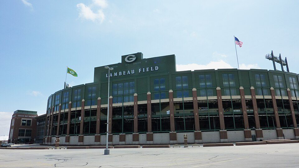 Big draw21 mi Stadium & arenaLambeau Field
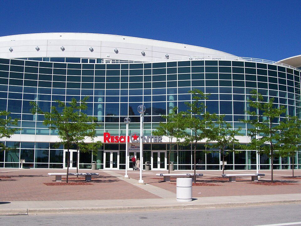 21 mi Stadium & arenaResch Center
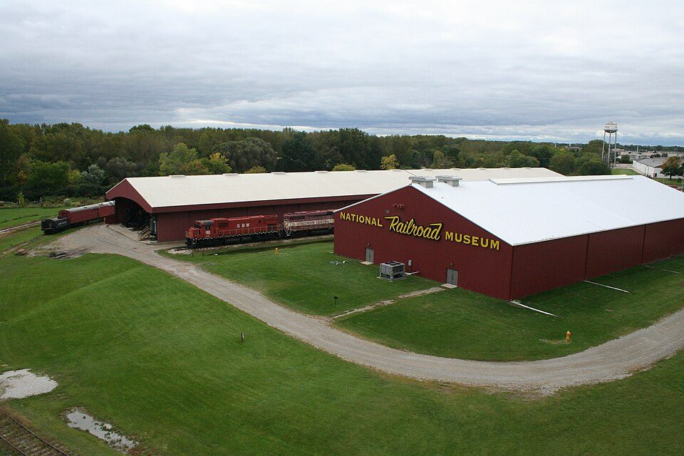 22 mi MuseumNational Railroad Museum
 19 mi Theme parkBay Beach Amusement Park10 mi Zoo & aquariumNortheastern Wisconsin Zoo
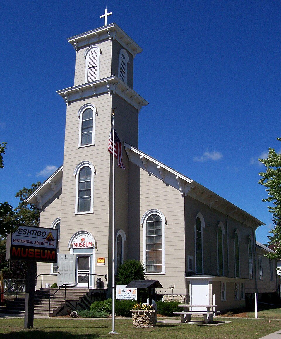 24 mi MuseumPeshtigo Fire Museum
Photo credits
Lambeau Field: JL1Row, CC BY-SA 3.0 · Resch Center: User Royalbroil on en.wikipedia, CC BY-SA 2.5 · National Railroad Museum: Dual Freq, CC BY 3.0 · Bay Beach Amusement Park: Royalbroil, CC BY-SA 3.0 · Peshtigo Fire Museum: self, CC BY-SA 2.5


Everything we know about Abrams
Colleges nearby
None within 15 miles of Abrams; the nearest are
About 3 of every 100 Abrams residents are enrolled in college, against 6 across Wisconsin.
About Abrams
Town in Wisconsin, United States
Abrams is a town in Oconto County, Wisconsin, United States. The population was 1,960 at the 2020 Census. The census-designated place of Abrams is located in the town. It is located near U.S. Route 41 and U.S. Route 141, 8 miles (13 km) south-southeast of Oconto Falls. Abrams has a post office that has been operating since 1882 with ZIP code 54101. As of the 2020 census, the census-designated place had a population of 358.
From Wikipedia, licensed CC BY-SA 4.0 · facts via Wikidata (CC0)
- Area
- 38 sq mi
- Elevation
- 696 ft
- Area code
- 920
Abrams’s neighbors
4 towns share a border with Abrams.
| Town | WI rank | Overall | Cost | Safety | Schools | Health |
|---|---|---|---|---|---|---|
| Abrams | — | — | C+ | — | B− | B− |
| Stiles | — | — | B+ | — | C+ | C+ |
| Pensaukee | — | — | B− | — | C+ | C+ |
| Little Suamico | #122 | A− | B | — | B+ | B |
| Morgan | — | — | B | — | B− | C |
Abrams, Stiles, Pensaukee and Morgan have fewer than 2,500 residents, so they get subject grades but no overall grade. Abrams, Stiles, Pensaukee, Little Suamico and Morgan report no FBI crime data of their own. Compare Abrams with a neighbor →
Questions about Abrams
Short answers, built from the data on this page.
Is Abrams, WI expensive?
That is 5.1 years of the area's median household income ($79,267 across the Green Bay, WI metro area). Cost of living, which also weighs rents, property taxes and how many households pay 30% or more of their income for housing, grades C+.